Fabio Giannino - Electromagnetic Methods in Geophysics
Здесь есть возможность читать онлайн «Fabio Giannino - Electromagnetic Methods in Geophysics» — ознакомительный отрывок электронной книги совершенно бесплатно, а после прочтения отрывка купить полную версию. В некоторых случаях можно слушать аудио, скачать через торрент в формате fb2 и присутствует краткое содержание. Жанр: unrecognised, на английском языке. Описание произведения, (предисловие) а так же отзывы посетителей доступны на портале библиотеки ЛибКат.
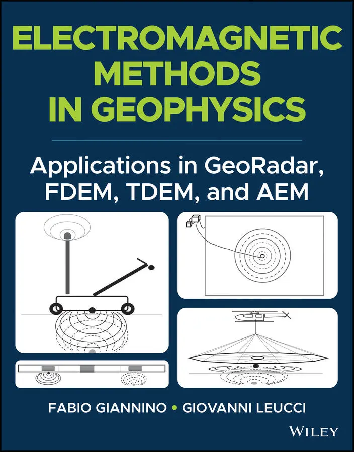
- Название:Electromagnetic Methods in Geophysics
- Автор:
- Жанр:
- Год:неизвестен
- ISBN:нет данных
- Рейтинг книги:4 / 5. Голосов: 1
-
Избранное:Добавить в избранное
- Отзывы:
-
Ваша оценка:
Electromagnetic Methods in Geophysics: краткое содержание, описание и аннотация
Предлагаем к чтению аннотацию, описание, краткое содержание или предисловие (зависит от того, что написал сам автор книги «Electromagnetic Methods in Geophysics»). Если вы не нашли необходимую информацию о книге — напишите в комментариях, мы постараемся отыскать её.
, accomplished researchers Fabio Giannino and Giovanni Leucci deliver an in-depth exploration of the theory and application of four different electromagnetic geophysical techniques: ground penetrating radar, the frequency domain electromagnetic method, the time domain electromagnetic method, and the airborne electromagnetic method. The authors offer a full description of each technique as they relate to the economics, planning, and logistics of deploying each of them on-site.
The book also discusses the potential output of each method and how it can be combined with other sources of below- and above-ground information to create a digitized common point cloud containing a wide variety of data.
Giannino and Leucci rely on 25 years of professional experience in over 40 countries around the world to provide readers with a fulsome description of the optimal use of GPR, FDEM, TDEM, and AEM, demonstrating their flexibility and applicability to a wide variety of use cases.
Readers will also benefit from the inclusion of:
A thorough introduction to electromagnetic theory, including the operative principles and theory of ground penetrating radar (GPR) and the frequency domain electromagnetic method (FDEM) An exploration of hardware architecture and surveying, including GPR, FDEM, time domain electromagnetic method (TDEM), and airborne electromagnetic (AEM) surveying A collection of case studies, including a multiple-geophysical archaeological GPR survey in Turkey and a UXO search in a building area in Italy using FDEM /li> Discussions of planning and mobilizing a campaign, the shipment and clearance of survey equipment, and managing the operative aspects of field activity Perfect for forensic and archaeological geophysicists,
will also earn a place in the libraries of anyone seeking a one-stop reference for the planning and deployment of GDR, FDEM, TDEM, and AEM surveying techniques.
Electromagnetic Methods in Geophysics — читать онлайн ознакомительный отрывок
Ниже представлен текст книги, разбитый по страницам. Система сохранения места последней прочитанной страницы, позволяет с удобством читать онлайн бесплатно книгу «Electromagnetic Methods in Geophysics», без необходимости каждый раз заново искать на чём Вы остановились. Поставьте закладку, и сможете в любой момент перейти на страницу, на которой закончили чтение.
Интервал:
Закладка:
EM methods are often used in combination. Thus, for example, the search for illegal landfill takes place at an early stage with the use of GPR and FDEM methods. The ambiguities resulting from the results of a single method can be removed by considering the results obtained by using a second method. For example, the reflections in a GPR survey due to the presence of a wall or a buried pipe could be similar (a hyperbole shaped reflection). By integrating the GPR survey with another EM survey, this ambiguity can be solved considering that relatively low conductivity values could be associated with the wall, while relatively high conductivity value could be associated to the buried pipe.
It is important to stress that, although an interpretation of the results of the, here described, EM methods requires relatively advanced mathematical treatments, initial information, as will be shown in the book, can be obtained from the simple observation of the acquired data.
More in general, the methodological characteristics of the EM techniques, leads to a number of advantages, as it follows:
High degree of horizontal resolution in mapping apparent electrical conductivity: data acquisition and management software to be interfaced with electro‐magneto meters, allowing the sampling frequency to vary. This allows for a very high number of data points to be collected while walking along pre‐selected acquisition alignments.
High degree of horizontal and vertical resolution in mapping EM reflection events.
Reducing the data acquisition time (i.e. the field work): As the EM method is based on the EM induction principle, no contact between sensors and the soil to be investigated is required, as normally happens for geoelectrical methods, where steel rods must be embedded on the surface of the field to be investigated in order for the current to be injected. This occurrence allows for the EM data to be collected while walking, or driving, or flying along acquisition lines pre‐defined within the survey area.
Survey cost reduction: due to the previous point, it follows that the data acquisition costs dramatically reduce, compared to other geophysical techniques to be deployed for the same purposes and over the same areas.
As for any geophysical technique, also EM methods shows some limitations:
Instruments calibration before each survey operation: measurements of the secondary EM fields due to the interaction between the Primary EM field generated by the transmitter coil and the subsoil, is performed through a ratio with respect to a reference signal. For this reason, a test EM measure over an area where no EM anomalies should be located, has to be done prior to the commencement of the actual survey.
Vertical resolution is limited in FDEM and TDEM: the electrical conductivity datum to be collected, refers to a volume of subsoil located at the medium point between the transmitter and the receiver, and it must be considered as an “apparent” conductivity datum.
Dynamic Range is reduced: as highlighted in McNeill (1980) for induced EM methods, when the subsoil shows very low electrical conductivity values (i.e. very resistive subsoil) it is rather difficult to induce electric current in the subsoil by the use of a electro‐magneto meter, capable to generate, in turn, eddy current large enough for a secondary magnetic field (induced) to be measured by a receiver coil with a dynamic range between 1 and 100 mS/m.
Some of the fields of applications allowing for the intrinsic properties of the EM to be enhanced along with their expected final results, are:
Mapping of saline water intrusion
Buried metallic utilities mapping
UXO mapping
Cavity search (under given subsoil conditions)
Utility mapping
Mapping of pollutants plumes
Mapping of un‐authorized landfill areas
Forensic geophysics
Archaeological geophysics
Buried metal search, in general
Mineral resource research.
Obviously, this is only a partial list of the potential application of the EM methods and may not be considerate complete; each geophysical measurement campaign should be designed and planned to take into account criteria strictly project specific and target oriented.
Throughout the book, an in‐depth view into the theory and application of four Electromagnetic geophysical techniques known as Ground Penetrating Radar (GPR) , Frequency Domain Electromagnetic ( FDEM), Time Domain Electromagnetic (TDEM) and Airbone Electromagnetic (AEM) shall be given. Also, each technique shall be considered in its general aspects related to economical, planning, and logistic aspects that are an integral part of the deploying activity on site.
As a further aspect that we attempt highlighting in this book, is that the output of each technique should/could be considered also in terms of its potential integration with the output of other source of information, collected either below the ground and above the ground, in a further effort of digitizing the global information describing the whole surrounding, in a common point cloud containing much information of a different nature, and for potentially different applications and use. This general concept takes place in what is nowadays known as Smart‐Cities, where many sources of information are collected by many sensors, analyzed together, and made available to stakeholders for the optimization, maintenance, and use of assets being part of a urban or industrial context.
More than 25 years of professional experience, collected in over 40 Countries world‐wide, for academic, research, professional, and industrial purposes, results in this manuscript that rather then enter into the deep details, aims at describing the optimal use of a limited number of geophysical techniques and its implementation to several application, demonstrating their flexibility.
REFERENCES
1 Parasnis, D.S. (1979). Principles of Applied Geophysics. Third edition, Chapman and Hall.
2 Sharma, P.V. (1997). Environmental and engineering geophysics. Cambridge University Press.
ACKNOWLEDGEMENTS
The authors are grateful and wish to offer thanks for their support, comments, suggestion, review, to:
Lara De Giorgi, Ivan Ferrari and Francesco Giuri, Institute of Heritage Science (National Research Council of Italy) .
Alberto Bicci, President of IDS GeoRadar s.r.l. Part of Hexagon .
Vincenzo Sapia, Istituto Nazionale di Geofisica e Vulcanologia (RU Applied Geophysical Measurements Laboratory, Italy) .
Andrea Viezzoli and Antonio Menghini, Aarhus Geofisica s.r.l .
Prof. Enzo Rizzo, University of Ferrara (Italy) .
1 Introduction
The framework of the following pages is structured into three sections. In the first section, the theoretical basis on which the GPR, FDEM, TDEM, and AEM techniques are founded, shall be illustrated without entering into the very deep physical and mathematical aspects, which are beyond the purposes of this text. However, the theoretical aspects shall be treated with a detail allowing the Reader to have a sufficient familiarity with those features that makes the methods themselves particularly suitable for specific applications. This will also allow the reader to comprehend how the EM instruments are built by the manufacturer, worldwide. This specific aspect is treated in the second section, where the system’s hardware architecture is illustrated, as well as showing how the instrumentation is designed and manufactured with the aim of maximizing the capability to detect the variation of physical properties of the subsoil, down to a given depth.
Читать дальшеИнтервал:
Закладка:
Похожие книги на «Electromagnetic Methods in Geophysics»
Представляем Вашему вниманию похожие книги на «Electromagnetic Methods in Geophysics» списком для выбора. Мы отобрали схожую по названию и смыслу литературу в надежде предоставить читателям больше вариантов отыскать новые, интересные, ещё непрочитанные произведения.


Обсуждение, отзывы о книге «Electromagnetic Methods in Geophysics» и просто собственные мнения читателей. Оставьте ваши комментарии, напишите, что Вы думаете о произведении, его смысле или главных героях. Укажите что конкретно понравилось, а что нет, и почему Вы так считаете.