Fabio Giannino - Electromagnetic Methods in Geophysics
Здесь есть возможность читать онлайн «Fabio Giannino - Electromagnetic Methods in Geophysics» — ознакомительный отрывок электронной книги совершенно бесплатно, а после прочтения отрывка купить полную версию. В некоторых случаях можно слушать аудио, скачать через торрент в формате fb2 и присутствует краткое содержание. Жанр: unrecognised, на английском языке. Описание произведения, (предисловие) а так же отзывы посетителей доступны на портале библиотеки ЛибКат.
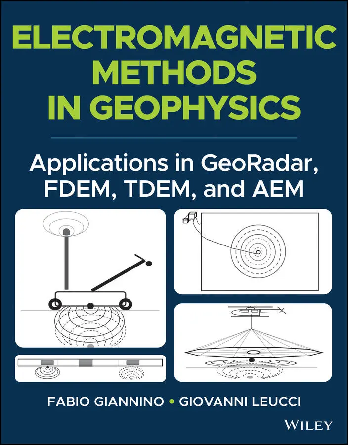
- Название:Electromagnetic Methods in Geophysics
- Автор:
- Жанр:
- Год:неизвестен
- ISBN:нет данных
- Рейтинг книги:4 / 5. Голосов: 1
-
Избранное:Добавить в избранное
- Отзывы:
-
Ваша оценка:
Electromagnetic Methods in Geophysics: краткое содержание, описание и аннотация
Предлагаем к чтению аннотацию, описание, краткое содержание или предисловие (зависит от того, что написал сам автор книги «Electromagnetic Methods in Geophysics»). Если вы не нашли необходимую информацию о книге — напишите в комментариях, мы постараемся отыскать её.
, accomplished researchers Fabio Giannino and Giovanni Leucci deliver an in-depth exploration of the theory and application of four different electromagnetic geophysical techniques: ground penetrating radar, the frequency domain electromagnetic method, the time domain electromagnetic method, and the airborne electromagnetic method. The authors offer a full description of each technique as they relate to the economics, planning, and logistics of deploying each of them on-site.
The book also discusses the potential output of each method and how it can be combined with other sources of below- and above-ground information to create a digitized common point cloud containing a wide variety of data.
Giannino and Leucci rely on 25 years of professional experience in over 40 countries around the world to provide readers with a fulsome description of the optimal use of GPR, FDEM, TDEM, and AEM, demonstrating their flexibility and applicability to a wide variety of use cases.
Readers will also benefit from the inclusion of:
A thorough introduction to electromagnetic theory, including the operative principles and theory of ground penetrating radar (GPR) and the frequency domain electromagnetic method (FDEM) An exploration of hardware architecture and surveying, including GPR, FDEM, time domain electromagnetic method (TDEM), and airborne electromagnetic (AEM) surveying A collection of case studies, including a multiple-geophysical archaeological GPR survey in Turkey and a UXO search in a building area in Italy using FDEM /li> Discussions of planning and mobilizing a campaign, the shipment and clearance of survey equipment, and managing the operative aspects of field activity Perfect for forensic and archaeological geophysicists,
will also earn a place in the libraries of anyone seeking a one-stop reference for the planning and deployment of GDR, FDEM, TDEM, and AEM surveying techniques.
Electromagnetic Methods in Geophysics — читать онлайн ознакомительный отрывок
Ниже представлен текст книги, разбитый по страницам. Система сохранения места последней прочитанной страницы, позволяет с удобством читать онлайн бесплатно книгу «Electromagnetic Methods in Geophysics», без необходимости каждый раз заново искать на чём Вы остановились. Поставьте закладку, и сможете в любой момент перейти на страницу, на которой закончили чтение.
Интервал:
Закладка:
LC record available at https://lccn.loc.gov/2021027149LC ebook record available at https://lccn.loc.gov/2021027150
Cover Design: Wiley
Cover Image: © Fabio Giannino
PREFACE
Geophysical techniques have many environmental, archaeological, forensic, geological, geotechnical, or engineering applications, as well as in the oil and gas, the mining industry, or for general academic research. Because of this, all the aspects connected with the logistics, designing, data collection, analysis, interpretation, and visualization, must be evaluated on a case‐by‐case basis.
Regardless of the geophysical technique deployed for a specific subsoil exploration campaign, the final objective is always to search for the variations of a specific physical property of the system to be investigated, and to infer the possible anthropogenic or natural factor(s), which caused the variation itself.
The properties which, more often, are the main subject of an applied geophysics measurements campaign are the electrical conductivity (electrical resistivity), the seismic waves velocity propagation (either in their vertical and/or horizontal component), the EM waves velocity propagation, the dielectric constant, the magnetic field, the gravity acceleration, and so on. Measuring of the abovementioned properties, in boreholes, on surface, in the sea, or airborne, is carried out with instrumentation specifically designed and manufactured, and the data gathered through these tools, are analyzed by means of specific software, whose proper use allows even very small variations of a given quantity to be highlighted. The survey and laboratory/office operations addressed to the acquisition and analysis of such specific data, result in those geophysical methodologies known as Geoelectrical techniques, EM induction methods, seismic methods (seismic refraction, seismic reflection, seismic tomography, MASW, Re.Mi.), ultrasound, Ground Penetrating Radar (GPR), Magnetic method, Micro‐gravimetry, and so on.
The list outlined is obviously partial, but on the other hand may be useful to give an idea of the macro‐areas within which the most commonly used geophysical techniques can be allocated, with respect to the industry, the academic research, or in the professional services activities.
Tools deployed for the data acquisition, as well as the software to be used for the purposes of data processing and visualization, improved very much in the last three decades, and became rather complex and of a specific use. Moreover, the possibility to apply a specific technique for the purposes of a given project, cannot disregard the knowledge of the theoretical basis on which every geophysical technique is founded on. As a direct consequence of this, a poor awareness on the hardware, the software, and the theoretical aspects, will most likely lead to a geophysical approach, whose possibility of technical success is low.
Another very important factor in planning and performing a geophysical survey, is the collection of the greater possible amount of information relating to the nature, dimension, geometry, and burial depth of the “target” of the measurements campaign, and the (geological) background where the “object” is imbedded. In this case, the word “target” means every buried feature determining a contrast in physical properties detectable by the technique. The knowledge of this, can also positively contribute to selecting the geophysical technique, which increases the probability to maximize the differences of a given physical property between the background and the target. Hence, the possibility to locate the latter with a higher degree of confidence and increasing the resolution of the final result.
Many geophysical techniques are based on the propagation in the space of electromagnetic (EM) waves (wave field methods), and a unique classification of them can be difficult and, to a certain extent, of no use. However, in order to optimize the results deriving from their application to project‐related issues, it is of a paramount importance to have a clear idea about the existing EM techniques and what are the characteristics differentiating one from another. To do this, it may be used as a classification factor, at a first instance, the fact that a known amplitude and frequency transmitter may be used as a source of EM energy, as it happens for the TDEMmethods, FDEMmethods, as well as in the GPRtechniques; on the other hand, also the interaction with the subsoil of natural sources of EM energy can be used as EM energy, as in the magnetotelluric methods ( MT), the audio magnetotelluric ( AMT), or in the audio frequency magnetotelluric ( AFMAG). Under this point of view, EM techniques may be classified into active, the former, and passive, the latter.
Another way to differentiate one EM technique or one group of EM techniques, is the fact that the EM signal generated from an AC current having a known amplitude and frequency content, is emitted continuously (FDEM methods), or that the transmitting coil spreads out a transient EM signal of known amplitude and frequency, and that a receiver coil measures the time decay of the emitted EM signal interacting with the subsoil, after that the transmitter is been switched off (TDEM methods).
EM methods can be further classified based on the relative position between transmitter and receiver coils: these can have a fixed or variable relative distance. On the basis of this aspect we may distinguish the Turam method (D.S. Parasnis, 1979), the Slingram , the g round conductivity meter ( GCM), the Very Low Frequency ( VLF). Furthermore, P.V. Sharma (1996), introduced an EM methods classification, depending on the fact that the primary EM field may be continuous , transient , or broadband ; according to this we may have:
EM continuous wave field methods (FDEM)
EM transient field methods (TDEM)
Magnetotelluric methods (MT)
Regardless, all EM methods are deployed with the common aim of characterizing the subsoil on the base of its electrical conductivity and dielectrical constant.
As is known, the purpose of these methods is to deduce the physical properties of the Earth and its internal constitution from the physical phenomena associated with it. On the other hand, the objective is to investigate, with a very high resolution and a relatively smaller scale, more superficial features present in the Earth's crust. Typically, the investigation of these characteristics provides an important contribution to practical problems, such as oil exploration, the identification of water resources, mining exploration, pollutant research, bridge and road construction, and civil engineering. The presence of bodies or structures in the subsoil is highlighted by measuring at the surface variations of some physical parameters in the subsoil itself. In practice, some measurements of a given physical field (i.e. electromagnetic) are carried out at the surface of a given area. If the subsoil were perfectly homogeneous, regardless of the position in which the measurement is carried out, the same value of the measured physical parameter would always be obtained. Assuming, instead, that in a certain position of the subsoil there is a body with different physical properties compared to the surrounding material, when the measuring instrument passes in correspondence with the body, the measured value tends to deviate from the unperturbed value, and the observed physical field assumes a value, defined as anomalous, i.e. a variation with respect to the reference value relative to an homogeneous situation (anomaly).
Since each EM method is sensitive to the contrast of particular physical parameters (electrical conductivity, relative dielectric constant, etc.) of the object under investigation with respect to the surrounding environment, it is understandable that the greater or lesser effectiveness of the one with respect to the other depends on the extent of the contrast of the corresponding physical parameters. Therefore, the choice of the most suitable EM methods for a particular problem is strongly dependent on the objective and is essentially guided by the identification of the physical parameters of the object to be identified that present the greatest contrast with the host environment, and therefore they allow greater ease of detection, as well as considerations of an economic and logistical nature.
Читать дальшеИнтервал:
Закладка:
Похожие книги на «Electromagnetic Methods in Geophysics»
Представляем Вашему вниманию похожие книги на «Electromagnetic Methods in Geophysics» списком для выбора. Мы отобрали схожую по названию и смыслу литературу в надежде предоставить читателям больше вариантов отыскать новые, интересные, ещё непрочитанные произведения.


Обсуждение, отзывы о книге «Electromagnetic Methods in Geophysics» и просто собственные мнения читателей. Оставьте ваши комментарии, напишите, что Вы думаете о произведении, его смысле или главных героях. Укажите что конкретно понравилось, а что нет, и почему Вы так считаете.