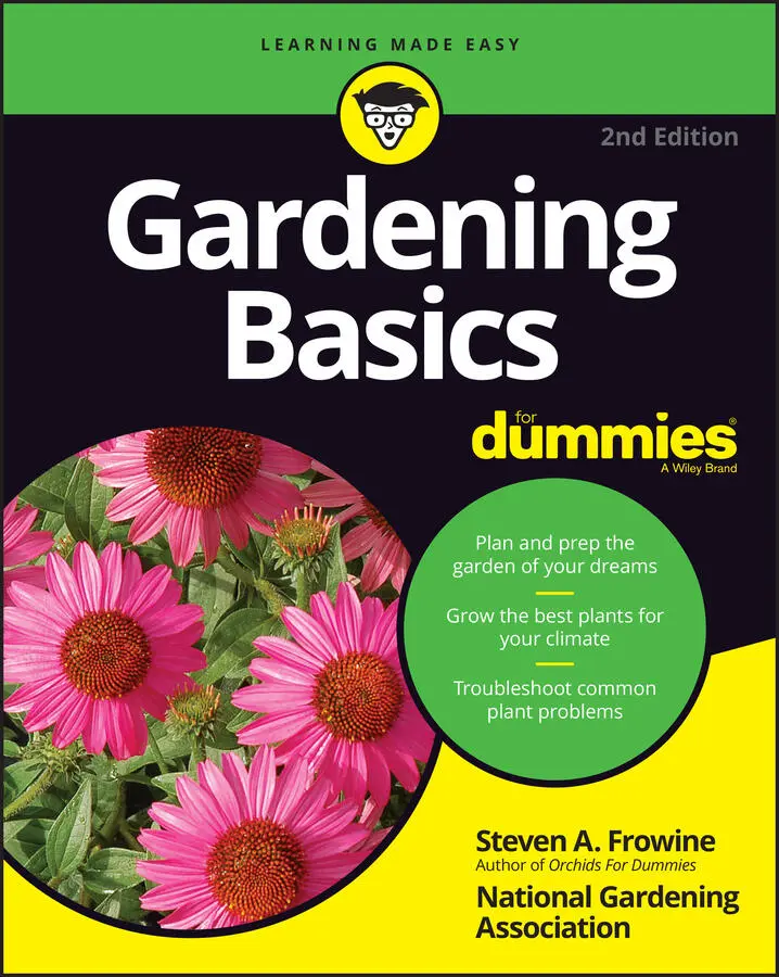
Steven A. Frowine - Gardening Basics For Dummies
Здесь есть возможность читать онлайн «Steven A. Frowine - Gardening Basics For Dummies» — ознакомительный отрывок электронной книги совершенно бесплатно, а после прочтения отрывка купить полную версию. В некоторых случаях можно слушать аудио, скачать через торрент в формате fb2 и присутствует краткое содержание. Жанр: unrecognised, на английском языке. Описание произведения, (предисловие) а так же отзывы посетителей доступны на портале библиотеки ЛибКат.
- Название:Gardening Basics For Dummies
- Автор:
- Жанр:
- Год:неизвестен
- ISBN:нет данных
- Рейтинг книги:3 / 5. Голосов: 1
-
Избранное:Добавить в избранное
- Отзывы:
-
Ваша оценка:
Gardening Basics For Dummies: краткое содержание, описание и аннотация
Предлагаем к чтению аннотацию, описание, краткое содержание или предисловие (зависит от того, что написал сам автор книги «Gardening Basics For Dummies»). Если вы не нашли необходимую информацию о книге — напишите в комментариях, мы постараемся отыскать её.
In a friendly, straightforward style, professional horticulturist Steven A. Frowine distills 50 years of gardening experience to show you how to start growing your expertise—from planning out your own mini-Eden and planting your first annuals, bulbs, and perennials through to laying the perfect lawn, raising tasty crops, and even introducing fish to your landscape! He also digs into the grubbier side of horticultural life, making sure you're as prepared as any seasoned farmer to deal with pests, weeds, and other challenges the earth will throw up at you.
Create your ideal garden plan Become an expert on common flora with definitions and descriptions Know how to look after your soil Get creative with butterfly and children's gardens Whether you're beginning with a tiny garden in a box, or beautifying your property with tree-lined groves and flowery bowers, this is the ideal introduction to the intense pleasure of gardening and will make you happy to reap what you’ve sown!
Gardening Basics For Dummies — читать онлайн ознакомительный отрывок
Ниже представлен текст книги, разбитый по страницам. Система сохранения места последней прочитанной страницы, позволяет с удобством читать онлайн бесплатно книгу «Gardening Basics For Dummies», без необходимости каждый раз заново искать на чём Вы остановились. Поставьте закладку, и сможете в любой момент перейти на страницу, на которой закончили чтение.
Интервал:
Закладка:
China: China’s plant hardiness zone map covers arguably largest and most varied gardening spots in the world. You can view it at www.backyardgardener.com/zone/china .
Australia: The Australian government has established a series of maps that many Australian gardeners use to gauge not only planting zones and climates but also rainfall. To view the plant hardiness zone map of Australia, go to www.anbg.gov.au/gardens/research/hort.research/zones.html .
You can find zone maps for South America and Africa online as well.
WHO ARE THE ZONE WIZARDS?
Exactly who determines what plants are appropriate for what zones? Well, the standard response is horticultural and climatological experts, whoever they are. Even though these climate maps are helpful, you have to think about them as purely a guideline. Gardeners have always been known to test the limits and try something that isn’t supposed to grow where they live. And why not? You may prove the experts wrong.
 Traveler beware: If you buy a plant marked as perennial or hardy in the deep Southern United States or California and you live in a chilly northern region, the plant may be labeled such only for the area where it’s sold.
Warming up to the heat-zone map
The USDA map, although enormously popular and widely used, has its limitations. For example, Zone 7 in Maryland is a world away from Zone 7 in Oregon, or north Texas, or the foothills of California’s Sierra Nevada mountains. In many parts of the country, heat rather than cold dictates which plants are able to survive from one year to the next.
Thus, in 1997 (after years of study and research), the American Horticultural Society released its own map, the AHS Heat-Zone Map. This has proven quite useful to gardeners in the South and West. You can search online for this map or it is available http://solanomg.ucanr.edu/files/245158.pdf .
The AHS map has 12 zones. Relatively cooler Zone 1 is defined as having only one day of 86°F weather per year; sweltering Zone 12 has 210 days of such heat or more.
Research has shown that 86°F (30°C) is the temperature at which many plants — that is, their cells, or plant tissue — start to experience damage from heat. That’s why that point became the baseline for laying out the heat zones.
U.S. gardeners in areas where the main source of plant stress isn’t winter cold but summer heat prefer this system. Nurseries in hot areas are starting to refer to these zones more and more. If the heat-zone information isn’t supplied for a plant you’re interested in, look in newer regional reference books and plant catalogs and websites.
Savoring the Sunset zones
In the Western United States — a region loosely defined as the states of Arizona, Utah, New Mexico, California, Nevada, Idaho, Montana, Wyoming, Colorado, Oregon, and Washington — neither the USDA Zone Map nor the AHS Zone Map gives complete enough information. Complex and varied terrain and dramatic weather variations conspire to make this particular region unique.
The Sunset Publishing Company, based in the San Francisco area, devised its own Garden Climate Zone Map, which you can find online at www.sunset.com . Just search the site for Sunset Climate Zones. You may also see it in many publications, from books to subscriber-driven magazines to newsstand issues. Gardeners, landscapers, and nurseries in the West often refer to these Sunset zones.
Sunset’s zone map contains 45 zones. Yep, 45. These zones actually cover the entire United States, Southern Canada, and Northern Mexico, and they’re all very individualized and specific. For example, Sunset Zone 3 is defined as West’s Mildest High-elevation and Interior Regions and covers much of the area east of the Cascades in the Northwest, where residents see snow cover in winters but also blazing summers. Zone 16 is Northern and Central California Coast Range Thermal Belts, from Santa Barbara County to Marin County; this area gets drying summer winds, fog, and a climate made mild by proximity to the ocean.
These Sunset zones can particularly empower a new or frustrated Western U.S. gardener, especially if the source of plants also uses the same zones. So ask at the local nursery or garden center — realizing, of course, that nobody stays in business for long by selling plants that don’t thrive. Or go out and buy Sunset publications tailored to your particular zone and do some reading and research; then go shopping near or far when you know just what you want.
Reading plant hardiness zone maps
Take a look at the USDA Plant Hardiness Zone Map, either in the color section of this book or online by searching for it. It’s available on many different garden sites. Notice that Zone 1, located at the top or northernmost part of the map, is coldest; Zone 11 is at the bottom, or southernmost part, and is warmest. In terms of hardiness zones established in the USA, Zones 1 and 11 represent the extremes. The bulk of the United States, though, fits into Zones 5, 6, 7, and 8. Originally, the zones were conceived to be 10°F apart.
As you study the map or chart, say you find that you live in USDA Zone 7. So you determine that this means
You should be able to grow any tree, shrub, or perennial labeled “hardy to USDA Zone 7.”
You probably can’t grow plants that are less cold-hardy, such as Zone 8 or 9 ones — your colder winters may harm or kill them.
You can grow plants labeled for farther north, even more cold-tolerant ones said to be “hardy to Zone 6 or 5.”
However, every rule has an exception. Most gardeners can stray one, maybe two USDA zones from their own when making plant choices and the gamble will pay off. See “ Zoning Out: Breaking the Zone and Growing Season Rules,” later in the chapter.
You often see a plant’s projected USDA Hardiness Zones expressed as a range. For instance, most clematis hybrids are said to be “hardy in Zones 3 to 8.” This statement means anyone gardening in Zones 3, 4, 5, 6, 7, or 8 ought to be able to grow one; the plant should survive your winters.
Basic zones are based on the average annual minimum temperature — in other words, as cold as winter gets. Thus, in the USDA Plant Hardiness Zone Map, Zone 6’s lowest winter temperature (on average) is –10°F (–12°C).
Why base zone maps on cold temperatures? After all, other things doom plants, such as high heat, lack of water, too much water, too much or too little sun, and the wrong soil. But over the centuries of gardening, people found that cold is a better predictor of what will survive than any of those other (admittedly important) factors.
A HOT ISSUE: CLIMATE CHANGE AND ZONE CHANGES
The USDA revised its map in 2012. If climate change continues to accelerate as many people fear and as more and more scientists believe, the averages will rise. But for now, expect the numbers of the zones to remain the same, even if the details of each zone changes.
The most important revisions made to the existing zone maps so far have been to list finer details. For example, in the USDA map, the more central zones have been split into halves, so you can also see Zone 5a and Zone 5b and so on, with the a being somewhat colder and the b being somewhat warmer. Canada’s map includes even more split zones.
Sometimes gardeners blame heat or cold for the death of their plants, but other reasons may be the causes, such as following:
Poor drainage: Poor soil drainage is big killer of plants especially during a wet winter.
Читать дальшеИнтервал:
Закладка:
Похожие книги на «Gardening Basics For Dummies»
Представляем Вашему вниманию похожие книги на «Gardening Basics For Dummies» списком для выбора. Мы отобрали схожую по названию и смыслу литературу в надежде предоставить читателям больше вариантов отыскать новые, интересные, ещё непрочитанные произведения.


Обсуждение, отзывы о книге «Gardening Basics For Dummies» и просто собственные мнения читателей. Оставьте ваши комментарии, напишите, что Вы думаете о произведении, его смысле или главных героях. Укажите что конкретно понравилось, а что нет, и почему Вы так считаете.