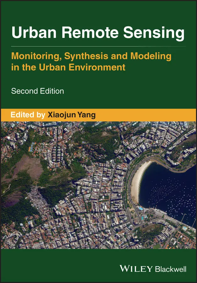
Urban Remote Sensing
Здесь есть возможность читать онлайн «Urban Remote Sensing» — ознакомительный отрывок электронной книги совершенно бесплатно, а после прочтения отрывка купить полную версию. В некоторых случаях можно слушать аудио, скачать через торрент в формате fb2 и присутствует краткое содержание. Жанр: unrecognised, на английском языке. Описание произведения, (предисловие) а так же отзывы посетителей доступны на портале библиотеки ЛибКат.
- Название:Urban Remote Sensing
- Автор:
- Жанр:
- Год:неизвестен
- ISBN:нет данных
- Рейтинг книги:4 / 5. Голосов: 1
-
Избранное:Добавить в избранное
- Отзывы:
-
Ваша оценка:
Urban Remote Sensing: краткое содержание, описание и аннотация
Предлагаем к чтению аннотацию, описание, краткое содержание или предисловие (зависит от того, что написал сам автор книги «Urban Remote Sensing»). Если вы не нашли необходимую информацию о книге — напишите в комментариях, мы постараемся отыскать её.
is a state-of-the-art review of the latest progress in the subject. The text examines how evolving innovations in remote sensing allow to deliver the critical information on cities in a timely and cost-effective way to support various urban management activities and the scientific research on urban morphology, socio-environmental dynamics, and sustainability.
Chapters are written by leading scholars from a variety of disciplines including remote sensing, GIS, geography, urban planning, environmental science, and sustainability science, with case studies predominately drawn from North America and Europe.
A review of the essential and emerging research areas in urban remote sensing including sensors, techniques, and applications, especially some critical issues that are shifting the directions in urban remote sensing research. Illustrated in full color throughout, including numerous relevant case studies and extensive discussions of important concepts and cutting-edge technologies to enable clearer understanding for non-technical audiences.
will be of particular interest to upper-division undergraduate and graduate students, researchers and professionals working in the fields of remote sensing, geospatial information, and urban & environmental planning.
Urban Remote Sensing — читать онлайн ознакомительный отрывок
Ниже представлен текст книги, разбитый по страницам. Система сохранения места последней прочитанной страницы, позволяет с удобством читать онлайн бесплатно книгу «Urban Remote Sensing», без необходимости каждый раз заново искать на чём Вы остановились. Поставьте закладку, и сможете в любой момент перейти на страницу, на которой закончили чтение.
Интервал:
Закладка:
70 Noor, N.M., Abdullah, A. and Hashim, M. (2018) Remote Sensing UAV/Drones and Its Applications for Urban Areas: A Review. IOP Conference Series: Earth and Environmental Science, p. 012003.
71 Norouzi Ghazbi, S., Aghli, Y., Alimohammadi, M. and Akbari, A.A. (2016) Quadrotors unmanned aerial vehicles: a review. International Journal on Smart Sensing & Intelligent Systems, 9(1), 309–333.
72 Pajares, G. (2015) Overview and current status of remote sensing applications based on unmanned aerial vehicles (UAVs). Photogrammetric Engineering & Remote Sensing, 81(4), 281–330.
73 Panagiotou, P. and Yakinthos, K. (2020) Aerodynamic efficiency and performance enhancement of fixed‐wing UAVs. Aerospace Science & Technology, 99, 105575.
74 Pannozzi, P., Valavanis, K.P., Rutherford, M.J. et al. (2019) Urban Monitoring of Smart Communities Using UAS. 2019 International Conference on Unmanned Aircraft Systems (ICUAS), IEEE, Atlanta, USA, June 11–14, 2019, p. 866.
75 Pepe, M., Fregonese, L. and Scaioni, M. (2018) Planning airborne photogrammetry and remote‐sensing missions with modern platforms and sensors. European Journal of Remote Sensing, 51(1), 412–436.
76 Plioutsias, A., Karanikas, N. and Chatzimihailidou, M.M. (2018) Hazard analysis and safety requirements for small drone operations: to what extent do popular drones embed safety? Risk Analysis: An International Journal, 38(3), 562–584.
77 Prakash, A. (2000) Thermal remote sensing: concepts, issues and applications. International Archives of Photogrammetry & Remote Sensing, 33, 239–243.
78 Rakha, T. and Gorodetsky, A. (2018) Review of Unmanned Aerial System (UAS) applications in the built environment: towards automated building inspection procedures using drones. Automation in Construction, 93, 252–264.
79 Ramasamy, S., Sabatini, R., Gardi, A. and Liu, J. (2016) LIDAR obstacle warning and avoidance system for unmanned aerial vehicle sense‐and‐avoid. Aerospace Science & Technology, 55, 344–358.
80 Remondino, F., Barazzetti, L., Nex, F., Scaioni, M. and Sarazzi, D. (2011) UAV photogrammetry for mapping and 3d modeling–current status and future perspectives. International Archives of the Photogrammetry, Remote Sensing & Spatial Information Sciences, 38(1), C22.
81 Restas, A. (2015) Drone applications for supporting disaster management. World Journal of Engineering & Technology, 3(03), 316.
82 Saeed, A.S., Younes, A.B., Cai, C. and Cai, G. (2018) A survey of hybrid unmanned aerial vehicles. Progress in Aerospace Sciences, 98, 91–105.
83 Sámano, A., Castro, R., Lozano, R. and Salazar, S. (2013) Modeling and stabilization of a multi‐rotor helicopter. Journal of Intelligent & Robotic Systems, 69 (1–4), 161–169.
84 Sanz‐Ablanedo, E., Chandler, J.H., Ramon Rodriguez‐Perez, J. and Ordonez, C. (2018) Accuracy of unmanned aerial vehicle (UAV) and SfM photogrammetry survey as a function of the number and location of ground control points used. Remote Sensing, 10 (10), 1606.
85 Seto, K.C., Reenberg, A., Boone, C.G. et al. (2012) Urban land teleconnections and sustainability. Proceedings of the National Academy of Sciences, 109 (20), 7687–7692.
86 Shafian, S., Rajan, N., Schnell, R. et al. (2018) Unmanned aerial systems‐based remote sensing for monitoring sorghum growth and development. PLoS ONE, 13(5), e0196605.
87 Shan, S., Hou, Z. and Zhu, B. (2017) Albatross‐like utilization of wind gradient for unpowered flight of fixed‐wing aircraft. Applied Sciences, 7(10), 1061.
88 Siebert, S. and Teizer, J. (2014) Mobile 3D mapping for surveying earthwork projects using an unmanned aerial vehicle (UAV) system. Automation in Construction, 41, 1–14.
89 Singh, K.K. and Frazier, A.E. (2018) A meta‐analysis and review of unmanned aircraft system (UAS) imagery for terrestrial applications. International Journal of Remote Sensing, 39 (15–16), 5078–5098.
90 Skrzypietz, B. (2012) Unmanned Aircraft Systems for Civilian Missions, Brandenburg Institute for Society and Security, Potsdam.
91 Sonka, S. and Ifamr, I. (2014) Big data and the ag sector: more than lots of numbers. International Food & Agribusiness Management Review, 17(1), 1–20.
92 Stecz, W. and Gromada, K. (2020) UAV mission planning with SAR application. Sensors (14248220), 20(4), 1080.
93 Steffen, R. and Förstner, W. (2008) On Visual Real Time Mapping for Unmanned Aerial Vehicles. 21st Congress of the International Society for Photogrammetry and Remote Sensing (ISPRS), p. 57.
94 Strecha, C., Küng, O. and Fua, P. (2012) Automatic mapping from ultra‐light uav imagery. EuroCOW 2012. Barceloa, Spain, February 8–10, 2012, p. EPFL‐CONF‐175351.
95 Thamm, F.‐P., Brieger, N., Neitzke, K.‐P. et al. (2015) Songbird – an innovative UAS combining the advantages of fixed wing and multi rotor UAS. The International Archives of the Photogrammetry, Remote Sensing & Spatial Information Sciences, XL‐1‐W4, 345–349.
96 Tison, C., Nicolas, J., Tupin, F. and Maître, H. (2004) A new statistical model for Markovian classification of urban areas in high‐resolution SAR images. IEEE Transactions on Geoscience & Remote Sensing, 42 (10), 2046–2057.
97 Torres‐Sánchez, J., López‐Granados, F., Borra‐Serrano, I. and Peña, J.M. (2018) Assessing UAV‐collected image overlap influence on computation time and digital surface model accuracy in olive orchards. Precision Agriculture, 19(1), 115–133.
98 Toth, C., Jozkow, G. and Grejner‐Brzezinska, D. (2015) Mapping with small UAS: a point cloud accuracy assessment. Journal of Applied Geodesy, 9(4), 213–226.
99 Trhan, O., Fraštia, M. and Marčiš, M. (2016) Building models created from UAV photogrammetry data. Proceedings of the International Multidisciplinary Scientific GeoConference SGEM, 2, 823–830.
100 Tsouros, D.C., Bibi, S. and Sarigiannidis, P.G. (2019) A review on UAV‐based applications for precision agriculture. Information, 10 (11), 349.
101 Turner, D., Lucieer, A. and Watson, C. (2012) An automated technique for generating georectified mosaics from ultra‐high resolution unmanned aerial vehicle (UAV) imagery, based on structure from motion (SfM) point clouds. Remote Sensing, 4(5), 1392–1410.
102 UN DESA (2018) World urbanization prospects: the 2018 revision. Available: https://population.un.org/wup/Publications/Files/WUP2018‐Report.pdf(accessed 2 March 2021).
103 Wallace, P., Martin, R. and White, I. (2018) Keeping pace with technology: drones, disturbance and policy deficiency. Journal of Environmental Planning & Management, 61(7), 1271–1288.
104 Watkins, S., Burry, J., Mohamed, A. et al. (2020) Ten questions concerning the use of drones in urban environments. Building and Environment, 167, 106458.
105 West, J. and Bowman, J. (2016) The domestic use of drones: an ethical analysis of surveillance issues. Public Administration Review, 76(4), 649–659.
106 Wu, Y. and An, Z. (2019) UAV route planning for image 3D reconstruction. Dianzi Jishu Yingyong, 45(3), 76–79.
107 Wurm, M., Taubenböck, H., Weigand, M. and Schmitt, A. (2017) Slum mapping in polarimetric SAR data using spatial features. Remote Sensing of Environment, 194, 190–204.
108 Yao, H., Qin, R. and Chen, X. (2019) Unmanned aerial vehicle for remote sensing applications—a review. Remote Sensing, 11 (12), 1443.
109 Zarco‐Tejada, P., González‐Dugo, V. and Berni, J.A.J. (2012) Fluorescence, Temperature and Narrow‐Band Indices Acquired from a UAV Platform for Water Stress Detection Using a Micro‐Hyperspectral Imager and a Thermal Camera, Elsevier.
110 Zhang, C. and Kovacs, J.M. (2012) The application of small unmanned aerial systems for precision agriculture: a review. Precision Agriculture, 13(6), 693–712.
111 Zhang, H., Aldana‐Jague, E., Clapuyt, F. et al. (2019) Evaluating the potential of post‐processing kinematic (PPK) georeferencing for UAV‐based structure‐ from‐motion (SfM) photogrammetry and surface change detection. Earth Surface Dynamics, 7(3), 807–827.
Читать дальшеИнтервал:
Закладка:
Похожие книги на «Urban Remote Sensing»
Представляем Вашему вниманию похожие книги на «Urban Remote Sensing» списком для выбора. Мы отобрали схожую по названию и смыслу литературу в надежде предоставить читателям больше вариантов отыскать новые, интересные, ещё непрочитанные произведения.


Обсуждение, отзывы о книге «Urban Remote Sensing» и просто собственные мнения читателей. Оставьте ваши комментарии, напишите, что Вы думаете о произведении, его смысле или главных героях. Укажите что конкретно понравилось, а что нет, и почему Вы так считаете.