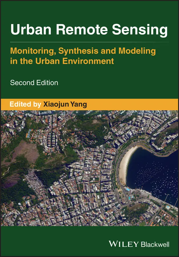
Urban Remote Sensing
Здесь есть возможность читать онлайн «Urban Remote Sensing» — ознакомительный отрывок электронной книги совершенно бесплатно, а после прочтения отрывка купить полную версию. В некоторых случаях можно слушать аудио, скачать через торрент в формате fb2 и присутствует краткое содержание. Жанр: unrecognised, на английском языке. Описание произведения, (предисловие) а так же отзывы посетителей доступны на портале библиотеки ЛибКат.
- Название:Urban Remote Sensing
- Автор:
- Жанр:
- Год:неизвестен
- ISBN:нет данных
- Рейтинг книги:4 / 5. Голосов: 1
-
Избранное:Добавить в избранное
- Отзывы:
-
Ваша оценка:
Urban Remote Sensing: краткое содержание, описание и аннотация
Предлагаем к чтению аннотацию, описание, краткое содержание или предисловие (зависит от того, что написал сам автор книги «Urban Remote Sensing»). Если вы не нашли необходимую информацию о книге — напишите в комментариях, мы постараемся отыскать её.
is a state-of-the-art review of the latest progress in the subject. The text examines how evolving innovations in remote sensing allow to deliver the critical information on cities in a timely and cost-effective way to support various urban management activities and the scientific research on urban morphology, socio-environmental dynamics, and sustainability.
Chapters are written by leading scholars from a variety of disciplines including remote sensing, GIS, geography, urban planning, environmental science, and sustainability science, with case studies predominately drawn from North America and Europe.
A review of the essential and emerging research areas in urban remote sensing including sensors, techniques, and applications, especially some critical issues that are shifting the directions in urban remote sensing research. Illustrated in full color throughout, including numerous relevant case studies and extensive discussions of important concepts and cutting-edge technologies to enable clearer understanding for non-technical audiences.
will be of particular interest to upper-division undergraduate and graduate students, researchers and professionals working in the fields of remote sensing, geospatial information, and urban & environmental planning.
Urban Remote Sensing — читать онлайн ознакомительный отрывок
Ниже представлен текст книги, разбитый по страницам. Система сохранения места последней прочитанной страницы, позволяет с удобством читать онлайн бесплатно книгу «Urban Remote Sensing», без необходимости каждый раз заново искать на чём Вы остановились. Поставьте закладку, и сможете в любой момент перейти на страницу, на которой закончили чтение.
Интервал:
Закладка:
3.3.3 DATA PROCESSING (POSTFLIGHT)
Once all image data have been collected and organized from a UAS, they can be processed into other geospatial products depending on the sensor type and flight plans used. For a RGB sensor, individuals can utilize the images collected to generate a multitude of photogrammetric outputs, such as orthophotos (Strecha et al., 2012; Hardy et al., 2017), DEMs (Kršák et al., 2016; Agüera‐Vega et al., 2017), and 3D point clouds (Siebert and Teizer, 2014; Trhan et al., 2016). The methods to generate these products from UAS imagery have improved significantly over the last decade with the introduction of photogrammetric software for use with UAS data (Colomina and Molina, 2014; Yao et al., 2019). Built on the concepts of Structure from Motion (SfM) and multi‐view stereo (MVS) photogrammetry, these software packages can process UAS data to derive 2D/3D geospatial outputs. Examples of these software packages include Pix4DMapper ( www.pix4d.com), DroneDeploy ( www.dronedeploy.com), Agisoft Metashape ( www.agisoft.com), ESRI Drone2Map ( www.esri.com/en‐us/arcgis/products/drone2map), and 3DF Zephyr ( www.3dflow.net/3df‐zephyr‐pro‐3d‐models‐from‐photos/). In addition to the commercial software packages, there are open‐source options providing similar photogrammetric capabilities, such as OpenDroneMap ( www.opendronemap.org) and MICMAC ( www.micmac.ensg.eu), although they are not as user‐friendly compared to the commercial software packages. Since most of these packages have become viable for generating robust geospatial outputs with UAS images in recent years, there is a lack of a firm understanding of the impact of the specific software’s algorithms on model outputs (Lavecchia et al., 2017). In addition, there has been a notable lack of cross‐comparisons of output quality generated among different photogrammetric software packages. There has been some efforts targeting this issue by comparing specific packages (Alidoost and Arefi, 2017; Barbasiewicz et al., 2018; Gagliolo et al., 2018; Brach et al., 2019; Forsmoo et al., 2019), but there is still a need to continue investigating the performance of these different software platforms.
Although there is a variety of UAS‐oriented photogrammetric software packages available, they can generate several common outputs, such as 3D point clouds, orthophoto maps, DEMs (surface and/or terrain), and 3D textured models. Fortunately, photogrammetric software packages utilize relatively common conceptual workflows, although their specific terms/steps may vary. By utilizing SfM and MVS algorithms, photogrammetric software packages can automatically extract 3D features from the UAS images by finding common feature points between overlapping images (Lowe, 2004). According to Remondino et al. (2011), a typical UAS photogrammetry workflow includes the following: mission planning, ground control measurements (if needed), image acquisition, camera calibration, image orientation, and image processing to generate 3D data.
3.4 UAS FOR URBAN APPLICATIONS
The unique ability of UAS to collect data at user‐defined spectral, spatial, and temporal resolutions offers new possibilities for urban applications that require rapid mapping, assessment, or management. Noor et al. (2018) summarized several types of information that can be provided by UAS for urban studies, including urban location and extent, land cover and land use information, transportation networks and infrastructure, census‐related statistics, and land change information. Despite that the use of UAS in urban areas is currently limited by regulations and safety concerns, numerous attempts have been made to explore the potential of UAS to support urban studies. This section discusses four common types of urban applications using UAS, including disaster response, infrastructure inspection, hyper‐local ecological information collection, and the construction of smart cities.
3.4.1 DISASTER RELIEF EFFORTS
Remotely sensed imagery provides invaluable information for rescue and relief efforts, damage assessment, and the planning of remedial measures (Hussain et al., 2011). With UAS, disaster zones can be observed and assisted promptly. Aljehani and Inoue (2019) designed a system that incorporates UAS scanning and UAS tracking to generate a safe map with potential routes for refugee evacuation. They have successfully utilized UAS to detect and track pedestrians by the Haar‐cascade and Kalman filter classification method, which can serve as a substitute for participatory tracking (e.g. mobile tracking) when pedestrians are not carrying mobile devices. Practically, they proposed using mobile networks for communication when the standard communication channels are completely lost. They also stressed the importance of human operators in the evaluation process and mission management (Aljehani and Inoue, 2019).
After a disaster, accurate and swift searching for the affected population and understanding their needs (e.g. water, food, medical assistance, etc.) is urgent and challenging. With the aid of UAS, humanitarian relief can be more efficiently delivered. Bravo et al. (2019) developed a Partially Observable Markov Decision Process (POMDP) to improve UAS path planning by giving higher priorities to the areas that are more likely to have victims. They showed that the method can provide the full coverage of the affected area and optimize the time to find the victims groups in three different cases, namely a tornado in Xanxerê, Brazil, a refugee camp in South Sudan, and a nuclear accident in Fukushima, Japan, which only took no more than 10 minutes, 5 minutes, and 2 hours, respectively (Bravo et al., 2019). However, they also mentioned that the use of UAS can be limited by the location, sight, limited base distance, battery life, and the concerns of social acceptance and airspace access.
3.4.2 BUILDING INSPECTION
The built environments we live in are constantly aging and wearing down. Regular checking of rooftops is critical to identify wet insulation issues at an early stage and prolong the lifespan of building roofs. Heat transfer and air loss through windows, cracks, chimneys are important causes of energy loss in residential buildings. Therefore, infrastructure inspection is necessary to maintain their energy efficiency and reduce further maintenance costs. UAS can capture thermal patterns with infrared cameras and generate 3D Computer‐aided Design (CAD) models, which can help to assess energy production and conservation of urban structures (Rakha and Gorodetsky, 2018). Some efforts have been made to advance UAS applications in building inspections. For example, Zhang et al. (2015) developed a relative thermographic calibration algorithm and automatic thermal anomaly detection methods. Besada et al. (2018) demonstrated an automated flight process achieved with a Mission Definition System for infrastructure inspections using UAS. However, there are still some issues concerning the UAS applications in building energy audits. For example, better GPS accuracy is needed. The accuracy of UAS and its ability to avoid obstacles relies heavily on the accuracy of the onboard GPS and Inertial Navigation System (INS) (Steffen and Förstner, 2008). There are no conclusive strategies for path planning or inspection distance optimization for the UAS‐based building audit, which points toward a new research direction (Rakha and Gorodetsky, 2018).
3.4.3 PHYSICAL DISORDER DETECTION
The physical characteristics of neighborhoods are important information for analyzing the effects of place on social problems. However, this information is usually unavailable or measured with aggregated secondary data that are only suitable for large‐scale investigations. Grubesic et al. (2018) used UAS to evaluate hyper‐local information on physical disorders like litter, unkempt lots, and building decay. They conducted two low‐altitude missions with an Ebee, a fix‐wing model from senseFly, at 65 m flying height, 60% lateral overlap, and 75% longitudinal overlap to survey two neighborhoods in Phoenix, Arizona. In each neighborhood, a total of 91.96 and 45.18 acres were covered with 382 and 217 RGB images, respectively. The resulting UAS imagery is much sharper than common medium‐resolution satellite imagery and makes it easier to discern small objects like air‐conditioning units. Compared to omnidirectional street imagery, UAS imagery is not influenced by temporal mismatches or blocked sight caused by depth perspective. The UAS approach also turned out to be more economical than the traditional way to collect hyper‐local data through systematic social observation (SSO) or neighborhood audits.
Читать дальшеИнтервал:
Закладка:
Похожие книги на «Urban Remote Sensing»
Представляем Вашему вниманию похожие книги на «Urban Remote Sensing» списком для выбора. Мы отобрали схожую по названию и смыслу литературу в надежде предоставить читателям больше вариантов отыскать новые, интересные, ещё непрочитанные произведения.


Обсуждение, отзывы о книге «Urban Remote Sensing» и просто собственные мнения читателей. Оставьте ваши комментарии, напишите, что Вы думаете о произведении, его смысле или главных героях. Укажите что конкретно понравилось, а что нет, и почему Вы так считаете.