David Barrie - Sextant - A Voyage Guided by the Stars and the Men Who Mapped the World’s Oceans
Здесь есть возможность читать онлайн «David Barrie - Sextant - A Voyage Guided by the Stars and the Men Who Mapped the World’s Oceans» — ознакомительный отрывок электронной книги совершенно бесплатно, а после прочтения отрывка купить полную версию. В некоторых случаях можно слушать аудио, скачать через торрент в формате fb2 и присутствует краткое содержание. Жанр: unrecognised, на английском языке. Описание произведения, (предисловие) а так же отзывы посетителей доступны на портале библиотеки ЛибКат.
- Название:Sextant: A Voyage Guided by the Stars and the Men Who Mapped the World’s Oceans
- Автор:
- Жанр:
- Год:неизвестен
- ISBN:нет данных
- Рейтинг книги:5 / 5. Голосов: 1
-
Избранное:Добавить в избранное
- Отзывы:
-
Ваша оценка:
Sextant: A Voyage Guided by the Stars and the Men Who Mapped the World’s Oceans: краткое содержание, описание и аннотация
Предлагаем к чтению аннотацию, описание, краткое содержание или предисловие (зависит от того, что написал сам автор книги «Sextant: A Voyage Guided by the Stars and the Men Who Mapped the World’s Oceans»). Если вы не нашли необходимую информацию о книге — напишите в комментариях, мы постараемся отыскать её.
Sextant: A Voyage Guided by the Stars and the Men Who Mapped the World’s Oceans — читать онлайн ознакомительный отрывок
Ниже представлен текст книги, разбитый по страницам. Система сохранения места последней прочитанной страницы, позволяет с удобством читать онлайн бесплатно книгу «Sextant: A Voyage Guided by the Stars and the Men Who Mapped the World’s Oceans», без необходимости каждый раз заново искать на чём Вы остановились. Поставьте закладку, и сможете в любой момент перейти на страницу, на которой закончили чтение.
Интервал:
Закладка:
The following day we crossed the edge of the continental shelf south-east of Sable Island, a menacing sliver of sand and grass that lies right in the shipping lanes – the scene of countless wrecks. Perhaps the first of these to be recorded (by the great compiler of accounts of early voyages, Hakluyt) 1occurred in August 1583, when one of the vessels in a small squadron led by the Elizabethan adventurer Sir Humphrey Gilbert ran aground there and broke up. Her crew suffered terribly from thirst and hunger before they reached the coast of Nova Scotia in an open boat. There they were rescued by Basque fishermen (who were by then routinely taking cod from the Grand Banks) and eventually managed to get back to Europe – unlike Gilbert who, having coolly turned his back on his shipwrecked companions, was lost on the return voyage.
Sable Island is a desolate spot, inhabited only by wild ponies and sometimes a few research scientists, with a lighthouse at either end. Colin – who relished a difficult pilotage challenge fn1– had been planning to land there, but even he did not feel like making the detour in these conditions. I was quietly relieved. The first accurate chart of Sable Island was published in 1779 by Cook’s mentor, DesBarres. From 1763 to 1773 DesBarres charted the heavily indented coast of Nova Scotia, and he devoted two summers to Sable Island alone. Apparently the surf often broke ‘mast high’ on the two sand bars at either end of the main island, which were ‘strewn with wrecks for seven leagues’ (21 miles). 2It was difficult and dangerous work, but of vital importance, and DesBarres’ chart was one of the first to show longitudes (a word that Colin taught me to pronounce – naval fashion – with a soft ‘g’) based on the Greenwich meridian.
We had now reached the real ocean, where the seabed plunges from a few hundred feet in depth to ten or twenty thousand. The ‘abyssal plain’ stretched out gloomily beneath us. The Canadian Navy had promised us that no icebergs would drift this far south, so the only likely hazards from now on – apart from bad weather – were other vessels. Nevertheless, it was disconcerting to know that we were suspended over several vertical miles of water, kept afloat only by an inch or two of wood.
Standing watch alone on the second night out, I was confronted by an overwhelming sight: half the visible universe, velvet black from horizon to horizon, filled with the brightest stars I had ever seen. Their brilliance was undimmed by the orange glow of man-made light that veils the skies over so much of the land and they seemed infinitely numerous. Three stars, named by the old Arab astronomers, formed a brilliant triangle above us, with the Milky Way – a glowing river of light – running among them: Vega, the falling eagle; Deneb, the tail of the hen; and Altair, the flying eagle. 3The light from the nearest of them had taken sixteen years to reach my eyes. Very occasionally, a shooting star slid soundlessly across the blackness, momentarily animating a spectacle of timeless grandeur and serenity.
As we sailed into the Atlantic, leaving the land further and further astern, I watched the night sky as I had never done before. I recognized some of the main constellations, and, with the help of a star chart, picked out a few of the fifty-odd ‘navigational stars’ whose coordinates are listed in the Nautical Almanac . Aldebaran, Alkaid, Alioth, Antares, Arcturus, Capella, Mirfak – as well as the three stars of the so-called Summer Triangle – were all in sight. The planet Jupiter shone brightly, low in the south east, while Mars rose later, to be followed shortly before dawn by Saturn. On Colin’s advice I was reading Mary Blewitt’s classic introduction to celestial navigation for yachtsmen, 4and a solitary four-hour watch gave me time to watch how the heavens moved. Above me the entire night sky, with all its stars, was slowly revolving anticlockwise around a stationary Polaris. Stars lying closest to the northern celestial pole (the point vertically above the geographical north pole, or in its zenith) never touched the horizon, while the others rose at different points along the eastern horizon, just like the sun by day, climbing up in long majestic arcs before declining slowly in the west. The poet Homer had closely observed the same phenomenon early in the first millennium BCE, as this passage from The Odyssey reveals:
[Calypso] gave him a warm, fair wind, and Odysseus joyfully spread his sail before it, while he sat and steered skillfully with the stern oar. He never allowed sleep to close his eyes, but kept them fixed on the Pleiades, on Arcturus that sets so late, and on the Great Bear … which revolves, keeping watch on Orion, alone never dipping into the stream of Okeanos – for Calypso had told him to keep it on his left. 5
I knew, of course, that this celestial motion was in a sense unreal – that it was the earth that turned while the distant stars maintained their imperturbable stillness – but the illusion is too powerful to resist. The earth remains firmly at the centre of the sailor’s universe, just as it did for the Greek astronomer Ptolemy in the second century CE. It is easy to understand how difficult it was for people of the sixteenth and seventeenth centuries to adapt to the heliocentric view of the universe, and for the purposes of the working navigator the Copernican revolution might never have occurred.
*
Day 3: Came on watch at 0400. A fabulous dawn with scarcely a cloud in sight. On a close reach under full main and genoa making 5–6 knots. The seas were much calmer and there was a striking change of colour. Instead of a dull green, the water is now an amazing sparkling azure. Also much warmer – the Gulf Stream. Alexa is feeling better. The sun shone brightly all day and we had bread and cheese for lunch with beer.
Took a meridian altitude with the sextant – my first. Latitude 43 ° 17 ' N.
Colin cooked another excellent stew for supper and we all had some whisky. Everyone cheerful.
Though I was very sleepy, the brilliant light and warmth instantly lifted my spirits. The wind had shifted into the south and we were sailing fast, surging smoothly across the waves rather than crashing through them. At last the decks were dry and we could do without oilskins.
We had crossed the ‘Cold Wall’ that marks the division between the frigid, soupy Labrador Current that pours southwards out of the Arctic and the vast body of crystalline, lapis-lazuli-blue water that surges out of the Gulf of Mexico between Cuba and Florida and sweeps northward off the east coast of the USA. The volume of the Gulf Stream is so huge that it retains its separate character until well out into the Atlantic, and its vital warming influence is felt across the whole of northern Europe.
A hundred yards ahead of us, dozens of shearwaters were diving on a shoal of fish, and suddenly the surface of the water exploded in their midst: for a startled moment I thought a missile had been launched from a submarine. An enormous streamlined shape emerged, rising at least 10 feet in the air. Turning and catching the sun, its flank flashed silver, before it crashed clumsily back into the sea in a colossal shower of spray. I had never seen such an enormous fish – it was a tuna, perhaps half a ton in weight, a seaborne sprinter that could keep pace with a cheetah. The astonishing spectacle lasted only a couple of seconds. Soon the small fry that had attracted the predators had been consumed, and all was still again.
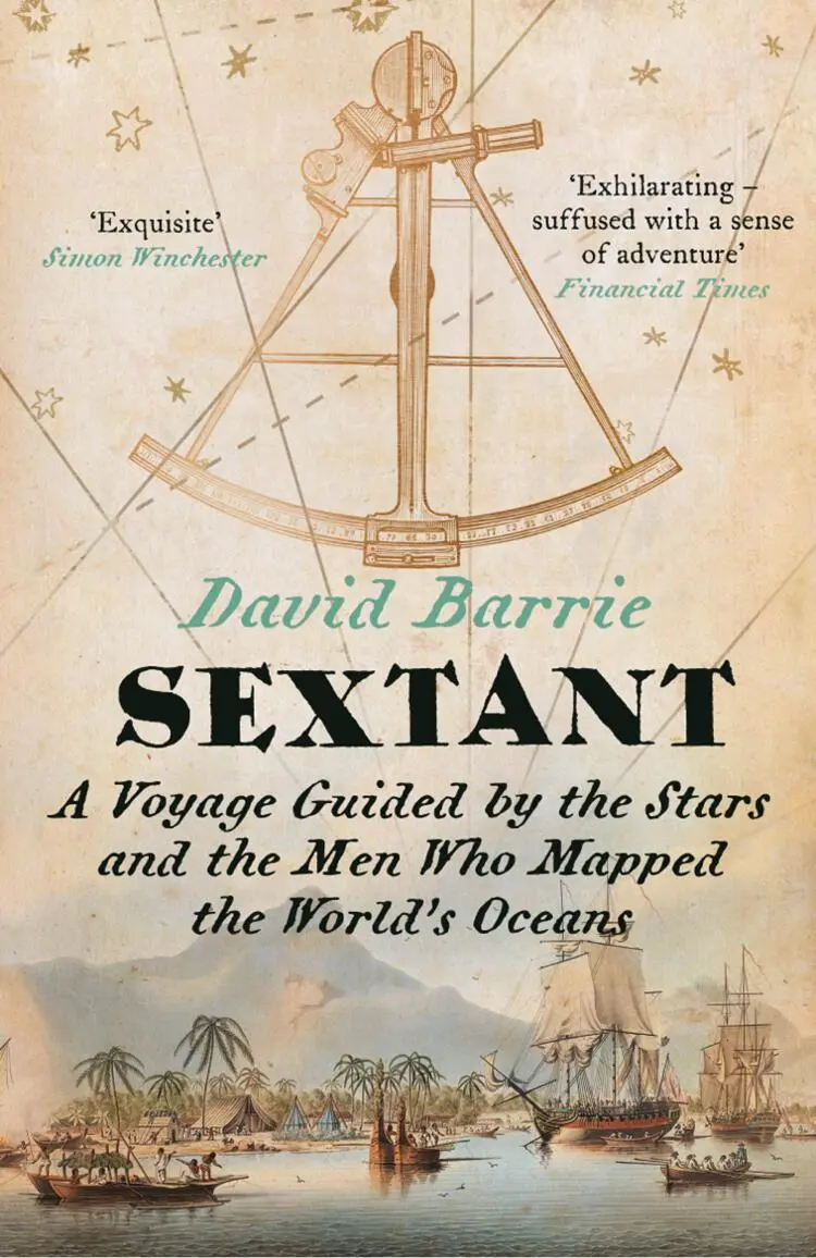
As the sun approached its highest point above the southern horizon, Colin appeared in the main hatch, his silver hair sticking out in all directions, wearing an old guernsey jumper that was full of holes. In his hands was the sextant that had, until now, lain unused in the cabin down below, firmly secured in its square wooden box. Before handing it to me Colin warned me with unusual solemnity never, ever to drop it. ‘Care of the sextant’ was a serious matter: it was a precision instrument and our lives depended on its accuracy. My first lesson in celestial navigation was about to start.
Читать дальшеИнтервал:
Закладка:
Похожие книги на «Sextant: A Voyage Guided by the Stars and the Men Who Mapped the World’s Oceans»
Представляем Вашему вниманию похожие книги на «Sextant: A Voyage Guided by the Stars and the Men Who Mapped the World’s Oceans» списком для выбора. Мы отобрали схожую по названию и смыслу литературу в надежде предоставить читателям больше вариантов отыскать новые, интересные, ещё непрочитанные произведения.


Обсуждение, отзывы о книге «Sextant: A Voyage Guided by the Stars and the Men Who Mapped the World’s Oceans» и просто собственные мнения читателей. Оставьте ваши комментарии, напишите, что Вы думаете о произведении, его смысле или главных героях. Укажите что конкретно понравилось, а что нет, и почему Вы так считаете.