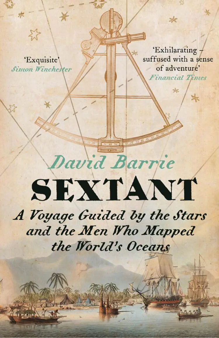
David Barrie - Sextant - A Voyage Guided by the Stars and the Men Who Mapped the World’s Oceans
Здесь есть возможность читать онлайн «David Barrie - Sextant - A Voyage Guided by the Stars and the Men Who Mapped the World’s Oceans» — ознакомительный отрывок электронной книги совершенно бесплатно, а после прочтения отрывка купить полную версию. В некоторых случаях можно слушать аудио, скачать через торрент в формате fb2 и присутствует краткое содержание. Жанр: unrecognised, на английском языке. Описание произведения, (предисловие) а так же отзывы посетителей доступны на портале библиотеки ЛибКат.
- Название:Sextant: A Voyage Guided by the Stars and the Men Who Mapped the World’s Oceans
- Автор:
- Жанр:
- Год:неизвестен
- ISBN:нет данных
- Рейтинг книги:5 / 5. Голосов: 1
-
Избранное:Добавить в избранное
- Отзывы:
-
Ваша оценка:
Sextant: A Voyage Guided by the Stars and the Men Who Mapped the World’s Oceans: краткое содержание, описание и аннотация
Предлагаем к чтению аннотацию, описание, краткое содержание или предисловие (зависит от того, что написал сам автор книги «Sextant: A Voyage Guided by the Stars and the Men Who Mapped the World’s Oceans»). Если вы не нашли необходимую информацию о книге — напишите в комментариях, мы постараемся отыскать её.
Sextant: A Voyage Guided by the Stars and the Men Who Mapped the World’s Oceans — читать онлайн ознакомительный отрывок
Ниже представлен текст книги, разбитый по страницам. Система сохранения места последней прочитанной страницы, позволяет с удобством читать онлайн бесплатно книгу «Sextant: A Voyage Guided by the Stars and the Men Who Mapped the World’s Oceans», без необходимости каждый раз заново искать на чём Вы остановились. Поставьте закладку, и сможете в любой момент перейти на страницу, на которой закончили чтение.
Интервал:
Закладка:
What could be more wonderful than to join the long line of those who have found their way across the seas by the light of the sun, moon and stars? Just as interest in classic boats, built in traditional ways and shaped only by the demands of beauty and seaworthiness, has undergone a revival, so the joys of navigating with a sextant are now ripe for rediscovery.
Chapter 1
Setting Sail
Sextant: I was nine years old when I first heard that magical word. It was 1963 and I had gone with my family to see Mutiny on the Bounty , starring Trevor Howard as the notorious Captain Bligh, whom he played as a choleric middle-aged martinet, and Marlon Brando as his infuriatingly condescending, toffee-nosed first officer, Fletcher Christian. fn1A luscious, big-budget movie, shot in the South Pacific around Tahiti, it ends with the burning of the Bounty by some of the mutineers after their arrival at the remote (and then incorrectly charted) Pitcairn Island. Fletcher, the leader of the mutiny, tries in vain to save the ship and, before abandoning it, calls out over the roar of the flames to his friend:
Fletcher: ‘Have you got the sextant, Ned?’
Ned [unable to hear]: ‘What?’
Fletcher [shouting desperately]: ‘Have you got the sextant?’
Ned : ‘No!’
[Fletcher dashes for the companionway that leads to the Captain’s cabin below the burning decks]
Ned [yelling in alarm]: ‘You can’t go now – it’s too late, Fletcher!’
Fletcher [rushing below regardless]: ‘We’ll never leave here without it!’
Fletcher dives into the blazing cabin and is horribly burned trying – in vain – to recover the precious instrument, later dying on the shore as the ship goes down in a shower of steam and sparks.
*
My father loved astronomy and, as a civil engineer, he had been trained in surveying and map-making. It was he who first showed me the night sky when I was a very small boy, standing in our Hampshire garden on many cold, clear winter nights beneath the dark Scots pines. He taught me to recognize the flattened ‘W’ of Cassiopeia, the great torso of Orion, and Ursa Major (the ‘Big Dipper’) with its twin pointers – Dubhe and Merak – that lead the eye to the North Star: Polaris. The Milky Way, I learned, was a galaxy composed of billions of stars to which our sun and solar system belonged as just one very small element.
As we left the cinema I asked my father what a sextant was, and why it mattered so much. I do not remember exactly what he said, but I gathered that it was a device for fixing your position anywhere in the world, on land or sea, by reference to the sun and stars – and that it was a vital tool for navigators sailing out of sight of land. Coupled with the terrifying image of Fletcher Christian diving into the inferno, his words caught my imagination: the thought of being marooned for ever on a small, remote island, unable ever to find the way home, was haunting. How could so much depend on one small instrument? And how could the unimaginably distant sun and stars help a sailor find his way across a vast ocean?
This was the beginning of my fascination with the art of navigation. I lived in a town on the south coast of England where sailing was a part of everyday life, and I first went out in an old-fashioned clinker-built dinghy with my parents when I was not much more than a toddler. I still remember dozing off on a sail-bag, tucked up under the half-deck, listening to the slap of the water on the bows, hypnotized by the gentle, broken rhythm of the waves. Later I sailed a dinghy of my own and crewed racing yachts, but I never much liked competitive sailing. What I loved was pilotage – the business of reading a chart, plotting a course, making allowances for compass variation and the effects of tidal streams, and all the other tricks of the coastal navigator’s trade.
Charts fascinated me. Those published by the British Admiralty were then still printed from engraved plates, and their appearance had not changed much since the nineteenth century. They had a solemn gravity, reflecting as they did the accumulated data of generations of dedicated marine surveyors. The traditional saying – ‘Trust in God and the Admiralty chart’ – was a measure of their exalted reputation. Unlike their metric successors, the old charts were soberly black and white. Prominent features on dry land that might be useful to the navigator – like church steeples or mountains – were shown, and detailed views of the coast were often included in the margins to aid recognition of important landmarks or hazards: the old surveyors were all trained as draughtsmen. Wrecks were marked with a variety of warning symbols depending on how much water covered them; those that broke the surface even at high water were marked with a grim little ship, slipping stern-first beneath the waves. The nature of the ‘ground’ (that is, the seabed) was indicated in a simple code – ‘m’ for mud, ‘sh’ for shingle, ‘s’ for sand, ‘rk’ for rock, ‘co’ for coral and so on. Charts vary enormously in scope: the large-scale ones of harbours might cover an area of only a few square miles, while others cover entire oceans. The smaller-scale ones are framed by a scale of degrees and minutes of latitude (north–south) and longitude (east–west), and the surface is carved up by lines marking the principal parallels and meridians – an abstract system of coordinates first conceived by Eratosthenes ( c .276–194 BCE) and then refined by Hipparchus ( c .190–120 BCE). Compass ‘roses’ help the navigator to lay off courses from one point to another, and show the local magnetic variation – the difference between true north and magnetic north.
From my father I learned something about surveying and the use of trigonometry – the mathematical technique for deducing the size of the unknown angles and sides of a triangle from measurements of those that are known. On our walks in the New Forest we sometimes came across the concrete triangulation pillars on which the British Ordnance Survey maps were based. Each pillar formed the corner of a triangle from which the other two corners were visible. Starting from a very accurately measured baseline, a network of such triangles extended across the whole country. By measuring the angles between the pillars using a theodolite, surveyors could determine the relative positions of each pillar with great accuracy, thereby providing the map-makers with an array of fixed points on which to build. In those days this system was still the key to land-based cartography.
Every marine chart was liberally sprinkled with ‘soundings’ – numbers representing the depth of water in old-fashioned fathoms (1 fathom to 6 feet), which crowded in even greater profusion round hazardous patches of sea. Particularly sinister were the places in the mid-ocean depths where a tight cluster indicated an isolated shoal – perhaps the tip of a ‘sea mount’ that did not quite break the surface. The Chaucer Bank, some 250 miles north of the Azores in the middle of the North Atlantic, is an example. On Admiralty chart no. 4009 (North Atlantic Ocean – Northern Portion, published in 1970) it rose up to a ‘reported’ minimum depth of 13 fathoms from waters that slide down rapidly to 1,000 fathoms or more. In heavy weather, seas would break on such a shoal – an alarming sight so far from land, and a potential hazard too. Before the advent of the electronic echo sounder in the 1920s all these soundings would have been taken with lead-lines – nothing more than a lump of lead on the end of a long, calibrated rope or wire. Triangulation could have been used the fix the positions of soundings along the coast, but what about those offshore, far out of sight of land? Of the vital part the sextant had played in hydrography – the mapping of the seas – I had as yet no idea.
Читать дальшеИнтервал:
Закладка:
Похожие книги на «Sextant: A Voyage Guided by the Stars and the Men Who Mapped the World’s Oceans»
Представляем Вашему вниманию похожие книги на «Sextant: A Voyage Guided by the Stars and the Men Who Mapped the World’s Oceans» списком для выбора. Мы отобрали схожую по названию и смыслу литературу в надежде предоставить читателям больше вариантов отыскать новые, интересные, ещё непрочитанные произведения.


Обсуждение, отзывы о книге «Sextant: A Voyage Guided by the Stars and the Men Who Mapped the World’s Oceans» и просто собственные мнения читателей. Оставьте ваши комментарии, напишите, что Вы думаете о произведении, его смысле или главных героях. Укажите что конкретно понравилось, а что нет, и почему Вы так считаете.