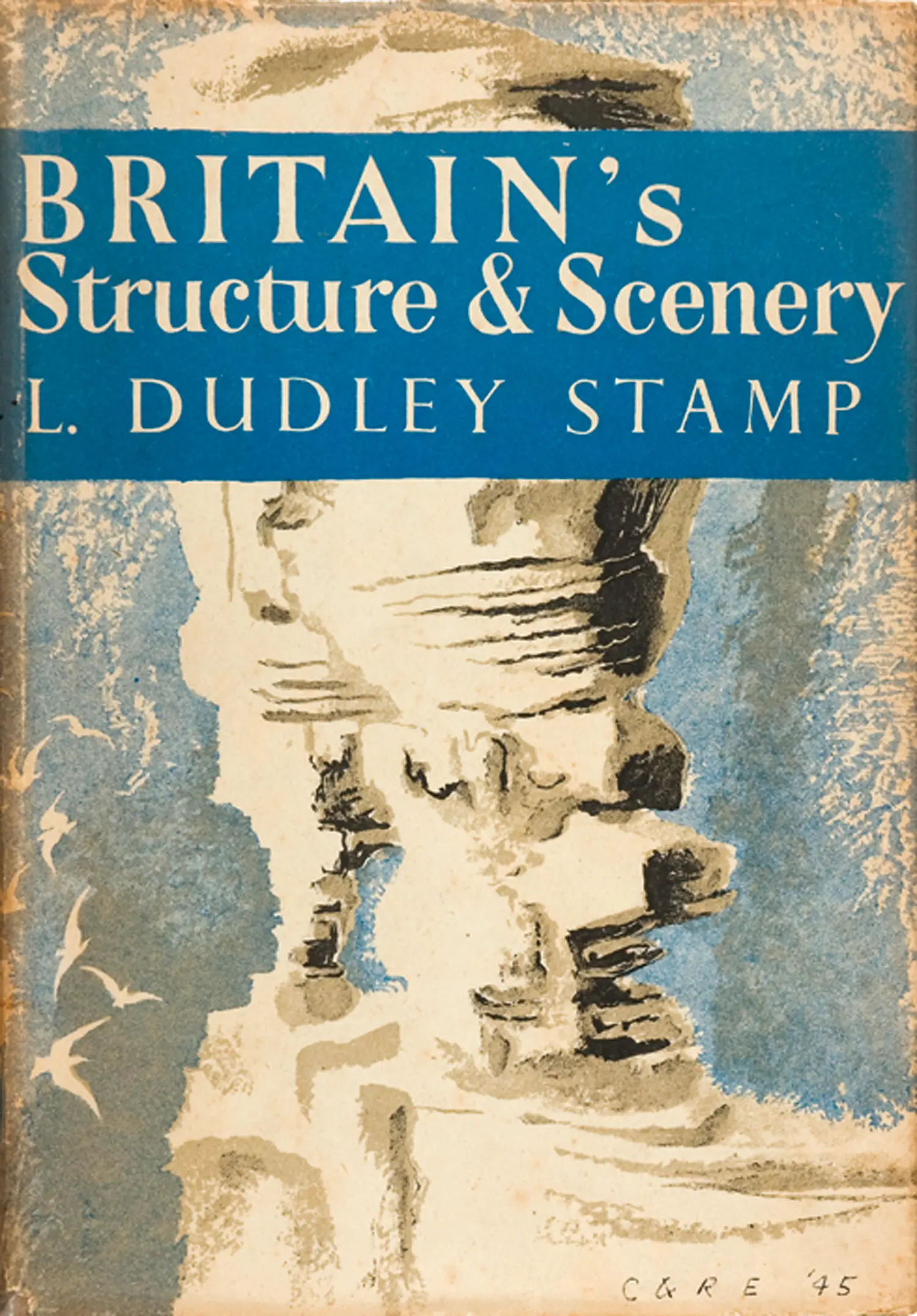
L. Stamp - Britain’s Structure and Scenery
Здесь есть возможность читать онлайн «L. Stamp - Britain’s Structure and Scenery» — ознакомительный отрывок электронной книги совершенно бесплатно, а после прочтения отрывка купить полную версию. В некоторых случаях можно слушать аудио, скачать через торрент в формате fb2 и присутствует краткое содержание. Жанр: unrecognised, на английском языке. Описание произведения, (предисловие) а так же отзывы посетителей доступны на портале библиотеки ЛибКат.
- Название:Britain’s Structure and Scenery
- Автор:
- Жанр:
- Год:неизвестен
- ISBN:нет данных
- Рейтинг книги:3 / 5. Голосов: 1
-
Избранное:Добавить в избранное
- Отзывы:
-
Ваша оценка:
Britain’s Structure and Scenery: краткое содержание, описание и аннотация
Предлагаем к чтению аннотацию, описание, краткое содержание или предисловие (зависит от того, что написал сам автор книги «Britain’s Structure and Scenery»). Если вы не нашли необходимую информацию о книге — напишите в комментариях, мы постараемся отыскать её.
Britain’s Structure and Scenery — читать онлайн ознакомительный отрывок
Ниже представлен текст книги, разбитый по страницам. Система сохранения места последней прочитанной страницы, позволяет с удобством читать онлайн бесплатно книгу «Britain’s Structure and Scenery», без необходимости каждый раз заново искать на чём Вы остановились. Поставьте закладку, и сможете в любой момент перейти на страницу, на которой закончили чтение.
Интервал:
Закладка:
A glance at the distribution of the deep purple colour used to indicate the Cambrian and the mauves used for the Ordovician and Silurian serves to demonstrate that it is the Older Palaeozoic rocks which make up the Caledonian mountain ranges of the Southern Uplands of Scotland, the English Lake District and the Isle of Man, as well as the whole of north and central Wales. That the Old Red Sandstone occupied basins is not only clear from the Highlands of Scotland: there are broad belts in the great tectonic depression of the Central Lowlands of Scotland between the Highlands and the Southern Uplands. In the south the main stretch of the Old Red Sandstone is in the Welsh Borderland whilst marine Devonian rocks of the same age cover Exmoor and much of South Devon and Cornwall.
Three colours are used for the rocks of the Carboniferous system—blue for the Carboniferous Limestone and the Scottish rocks (with sandstones, shales and coals) of the same age; sage green for the Millstone Grit and barren Culm Measures of Devon and Cornwall, and slate-grey for the Coal Measures. In passing it must be noted that the outcrops of Coal Measures shown on the geological map are not co-extensive with the coalfields because much of the most valuable parts of the coalfields are hidden beneath younger rocks. The Carboniferous rocks, with many areas of lava and other reminders of volcanic activity, fill in the remainder of the central lowland of Scotland whilst in England one is struck at once by the great north-south stretch of Carboniferous rocks which makes up the Pennines—the so-called backbone of England. This north-south alignment is a new one: it is a reminder that the rocks were deposited long after the Caledonian folding and that after their deposition were subject to the Armorican movements. These created north-south folds such as the Pennines and Malverns, folded as it were against the older blocks to the north and west, as well as the more common east-west folds so well seen in the alignments of the beds in South Wales and in the South-western Peninsula. Where the north-south and the east-west folds crossed, the creation of basins and dome-shaped uplifts is obvious and can be clearly seen from the map. Thus the South Wales Coalfield and the Forest of Dean are examples of basins and the Mendips are an example of the uplifts.
The way in which the bright blue streak of the Magnesian Limestone (Permian) cuts across different beds of the Carboniferous shows that the latter had already been folded and denuded before the deposition of the Permian.
The remainder of the map relates to Lowland Britain. The Midlands of England show clearly the stretch of the red Triassic deposits and the islands of older rocks which appear from beneath this cover.
FIG. 11.—A Simplified Geological Map of the British Isles
Then follow the successive belts of the Scarplands (see Chapter 18), sweeping across England from north-east to south-west—brown for the Liassic clays, yellow for the Oolitic sequence, dark green for the lower Cretaceous rocks, and light blue-green for the Chalk follow one another in sequence of ever decreasing age as one goes towards the south-east. It is in the south-east that the orderly sequence is interrupted and this is a reminder that the south and south-east of Britain lay on the fringes of the great Alpine storm and that some of the rocks there were folded by the Alpine movements. The uplift of the Weald, roughly east and west in its main axis, separates the two main Tertiary basins of London and Hampshire ; the sharpest folds of Alpine date are those in the extreme south—across the Isle of Wight and the Isle of Purbeck. The location of the main stretch of Pliocene rocks in the coastal parts of Norfolk and Suffolk is suggestive, and rightly so, that by that period the geography of Britain had acquired something of its present form—only certain parts, on the whole near the present coasts, came under Pliocene seas.
There the geological story shown by the general map we have been discussing ceases. It tells us nothing of the stupendous events of the Great Ice Age. For that we must turn to the detailed drift maps and from them try to piece together what is one of the most fascinating and important, and yet, despite its recent occurrence in terms of geological time, one of the most difficult episodes to reconstruct in the geological story of the building of Britain. Before we deal with this, however, it is essential to consider how many of the major surface features of Britain have evolved.
CHAPTER 5
LAND FORMS AND SCENERY THE WORK OF RIVERS
ALTHOUGH it is clear enough that the form of the surface—the relief of the land—is in the main determined by the underlying geological structure, the relationship between land forms and structures is by no means a simple one. It is only within the past few decades that the specialist study of land forms, the science of geomorphology, by developing its own technique, has demonstrated that it is possible to reconstruct a long and often complex history by detailed investigation of the form of the ground and that the details of land relief may bear surprisingly little relationship to the structural geology. For the most part geologists have paid little attention to this natural development of their studies. Apart from a few outstanding works by geologists such as J. E. Marr’s Scientific Study of Scenery first published in 1920 and more general works such as Lord Avebury’s Scenery of England and Wales, the foundation of detailed work was laid by such physical geographers as the American W. M. Davis, whose famous studies of the evolution of rivers was nevertheless carried out in our own Wealden country, and the Frenchman Emmanuel de Martonne whose Traite de Géographie Physique contains many British examples. Much recent work has emanated from America and other detailed work from Germany. In this country some of the younger geographers, headed by J. A. Steers and W. V. Lewis, have concerned themselves especially with coastal phenomena, others such as Professor D. L. Linton and Professor A. A. Miller with river evolution whilst a leader amongst those devoted to general geomorphological studies is Professor S. W. Wooldridge, whose Physical Basis of Geography: an Outline of Geomorphology, was first published in 1937.
Briefly, it may be said that land-forms depend first on the nature of the rocks and their disposition (that is, in other words, on lithology and structure), secondly on the climatic conditions, with resulting soil mantle and vegetation cover, under which the sculpturing of the land surface has been and is taking place, and thirdly on the phase or stage within the erosion cycle.
However erroneous, it is common to find references to “hard” rocks and “soft” rocks which are regarded as respectively resistant to and less resistant to weathering. Since most of the older rocks are “hard” in this sense the common distinction is drawn between the old hard rocks and the young soft rocks characteristic respectively of Highland and Lowland Britain. Although in any given area it is broadly true that the positive features of the relief, the mountains, hills and plateaus, are coincident with the outcrop of resistant rocks and the negative features, the valleys and plains, to that of “weak” rocks, resistance to weathering is not a matter of actual hardness. Chalk could not be described as a hard rock, yet it gives rise to the main hill ridges of south-eastern England. Under certain circumstances even a bed of gravel is sufficiently “hard” to form a capping and preserve a hill from denudation as in the case of Shooter’s Hill to the south-east of London. Both with chalk and gravel this is largely due to the fact that rain water soaks into the rock so readily that it does not have time to collect in rivulets on the surface and wash away the surface soil. When reached in deep excavations such as wells even clay is quite hard but when at the surface it has absorbed a certain amount of water it is impervious to more. When rain falls on the surface it is then easily eroded—as muddy streams bear witness—and so outcrops of clay are marked by valleys and lowlands.
Читать дальшеИнтервал:
Закладка:
Похожие книги на «Britain’s Structure and Scenery»
Представляем Вашему вниманию похожие книги на «Britain’s Structure and Scenery» списком для выбора. Мы отобрали схожую по названию и смыслу литературу в надежде предоставить читателям больше вариантов отыскать новые, интересные, ещё непрочитанные произведения.


Обсуждение, отзывы о книге «Britain’s Structure and Scenery» и просто собственные мнения читателей. Оставьте ваши комментарии, напишите, что Вы думаете о произведении, его смысле или главных героях. Укажите что конкретно понравилось, а что нет, и почему Вы так считаете.