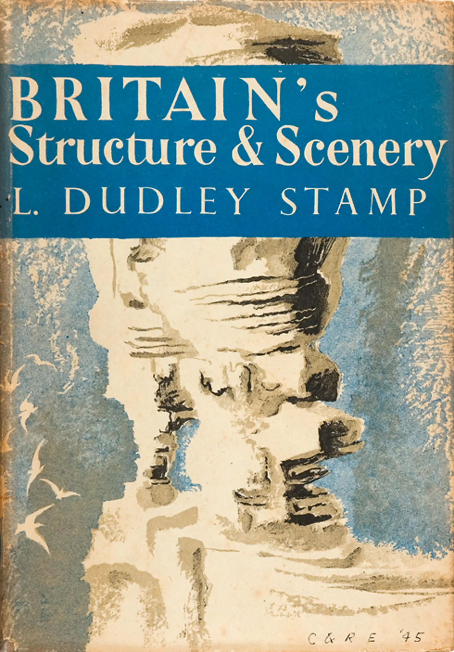
L. Stamp - Britain’s Structure and Scenery
Здесь есть возможность читать онлайн «L. Stamp - Britain’s Structure and Scenery» — ознакомительный отрывок электронной книги совершенно бесплатно, а после прочтения отрывка купить полную версию. В некоторых случаях можно слушать аудио, скачать через торрент в формате fb2 и присутствует краткое содержание. Жанр: unrecognised, на английском языке. Описание произведения, (предисловие) а так же отзывы посетителей доступны на портале библиотеки ЛибКат.
- Название:Britain’s Structure and Scenery
- Автор:
- Жанр:
- Год:неизвестен
- ISBN:нет данных
- Рейтинг книги:3 / 5. Голосов: 1
-
Избранное:Добавить в избранное
- Отзывы:
-
Ваша оценка:
Britain’s Structure and Scenery: краткое содержание, описание и аннотация
Предлагаем к чтению аннотацию, описание, краткое содержание или предисловие (зависит от того, что написал сам автор книги «Britain’s Structure and Scenery»). Если вы не нашли необходимую информацию о книге — напишите в комментариях, мы постараемся отыскать её.
Britain’s Structure and Scenery — читать онлайн ознакомительный отрывок
Ниже представлен текст книги, разбитый по страницам. Система сохранения места последней прочитанной страницы, позволяет с удобством читать онлайн бесплатно книгу «Britain’s Structure and Scenery», без необходимости каждый раз заново искать на чём Вы остановились. Поставьте закладку, и сможете в любой момент перейти на страницу, на которой закончили чтение.
Интервал:
Закладка:
FIG. 10.—Diagram illustrating the distribution in time and space of a typical fossil. ZI, ZII, ZIII, ZIV, ZV are zones
The species 1 is found at all five localities A, B, C, D and E and is restricted in its vertical distribution to Zone III. Only in one locality, C, is it found slightly below and slightly above the limits of the zone. It is therefore a good “zonal index.” Species 2, on the other hand, is only found in three of the five localities; it has a wide range in time and is found at a much lower horizon in locality C than in locality E. It is therefore of no use as a zonal index but such a distribution is characteristic of a “facies” fossil—a species seeking some special habitat conditions such as shallow water near a shoreline.
We are now in a position to apply the general principles already enunciated and to see how far they explain the building up of the present-day structure of the British Isles and to see what evidence the rocks of this country contain of the evolution of the great world groups of animals and plants and, in the later stages, of our own particular native fauna and flora.
CHAPTER 4
THE GEOLOGICAL MAP
DURING the war an important series of maps, designed to supply information basic to any work of national planning, was initiated by the Research Division of the Ministry of Town and Country Planning and published by the Ordnance Survey. The main series is on the scale of 1: 625,000 or approximately 10 miles to the inch and the series to be issued on that scale, covering the island of Britain in two large sheets, includes many of the maps which were proposed in the scheme for a National Atlas drawn up by the National Atlas Committee of the British Association for the Advancement of Science. Amongst the maps actually prepared and available, those of the Relief of the Land, Land Utilisation, Types of Vegetation, Types of Farming and Land Classification are very relative to the study of the natural history of this country, but fundamental to any study are the geological maps. Following the practice of the Geological Survey in some of their detailed maps, there are to be two maps—one to show the history of this country, while fundamental to any study are the geological maps. Following the practice of the Geological Survey in some of their detailed maps, there are to be two maps—one to show the “solid” geology as it would appear if superficial deposits such as boulder clay, glacial sands and gravels and clay-with-flints were removed and the other to show the “drift” geology with all those surface deposits indicated. 1 It has already been pointed out that many geologists are interested primarily in the older rocks and in the structure of the earth’s crust and the superficial deposits are to them simply a nuisance; from the economic point of view in the investigation of mineral resources the same is true and so the drift deposits and their mapping have been relatively neglected—notwithstanding their supreme importance in agriculture.
The Geological Survey came into existence in 1835 as an offshoot of the Ordnance Survey and its immediate task was the mapping of the geology of the country on the scale of one inch to one mile. This work was vigorously prosecuted, especially under the energetic guidance of Sir Roderick Impey Murchison who became Director-General in 1855, and the results were published in the form of hand-coloured one-inch maps, the base maps used being the original one-inch sheets of the Ordnance Survey. These original one-inch maps were “solid” maps though indications of the presence of drift is conveyed by words printed across the map in appropriate places. Its preliminary work finished, the Geological Survey then set to work to carry out a detailed revision or second survey. The field work was done on the six-inch or even, in cases, a larger scale. Attention was concentrated on the coalfields and on areas around populous centres, together with selected tracts in different parts of the country. For purposes of publication the “small-sheet series” of one-inch Ordnance Survey maps was chosen and these have been kept up to date for use as Geological Survey base maps long after they have been superseded by other editions for ordinary uses. They cover an area of 18 miles from east to west and 12 miles from north to south, and have the advantage of showing contours in black as part of the base map. Some of the small sheets series are hand coloured but the technical advances in colour printing has meant that all the later maps have been printed in colours. Each sheet is accompanied normally by a detailed explanatory memoir. In those areas where drift deposits are widespread or important it is usual to publish two editions of the map, the Solid and the Drift Editions, which are in fact two distinct maps. After more than half a century of work only about a third of the country has been re-surveyed and the maps published, so that for the rest reliance still has to be placed on the original survey and hand-coloured maps of a century ago. There is thus an obvious difficulty in issuing generalised maps of the whole country in that the detail available is so varied from one part to another, and it explains why, in a country where superficial deposits are of such tremendous importance in the study of soils, vegetation and agriculture, there is no generalised map to show their distribution. Pending the publication of the maps on the 10-mile scale just mentioned there is a useful map of the solid geology of the British Isles on the scale of 25 miles to one inch, published by the Ordnance Survey as one sheet at the modest price of two shillings.
This map is of the greatest value in giving a general picture of the distribution in Britain of the rocks of each of the systems. In the third edition, which is dated 1939, very considerable revisions and additions were made as a result of incorporating recent work.
Speaking very generally,. in geological terms the oldest part of Britain is the north-west and on the whole the rocks become steadily younger in geological age as one goes towards the south and east so that the major stretches of the Tertiary rocks are to be found in the London and Hampshire Basins.
The great mass of the Highlands of Scotland is made up of a complex of ancient metamorphic rocks with numerous large intrusions of granite. As described more fully in Chapter 23, one must picture the whole as the worn-down stumps of the great Caledonian fold mountains and there is little to-day in the relatively tame, rolling relief of much of the Scottish moorland to suggest the wild contortions exhibited by the underlying rocks—structures the interpretation of which has long baffled and continues to baffle the most expert of geologists. The oldest rocks of all are probably the Lewisian gneisses in the Outer Hebrides but the relative ages of the different pre-Cambrian or Archaean rocks is still uncertain. Along the coastlands of the North-West Highlands is a considerable stretch of Torridonian Sandstones—still pre-Cambrian but unmetamorphosed sediments, obviously much younger than the main bulk of the Highland rocks (see Plate IB). There is a narrow belt of Cambrian also in the north-west of the Highlands but the main masses of Old Red Sandstone—reminders of the great lake basins created by the Caledonian upheaval—lie on the east. Tiny patches of Jurassic rocks both in the west and along the east coast in the far north are reminders that Jurassic seas must have stretched far north but have left only small traces, and there is little evidence of the detailed geological history of Scotland over vast periods of time. Though the Alpine earth movements failed to fold the rigid old mass of the Highlands there is abundant evidence of the way in which great cracks were formed through which poured masses of molten lava. These make the great red splashes on the map in Skye and Mull and many of the smaller Hebridean islands.
Читать дальшеИнтервал:
Закладка:
Похожие книги на «Britain’s Structure and Scenery»
Представляем Вашему вниманию похожие книги на «Britain’s Structure and Scenery» списком для выбора. Мы отобрали схожую по названию и смыслу литературу в надежде предоставить читателям больше вариантов отыскать новые, интересные, ещё непрочитанные произведения.


Обсуждение, отзывы о книге «Britain’s Structure and Scenery» и просто собственные мнения читателей. Оставьте ваши комментарии, напишите, что Вы думаете о произведении, его смысле или главных героях. Укажите что конкретно понравилось, а что нет, и почему Вы так считаете.