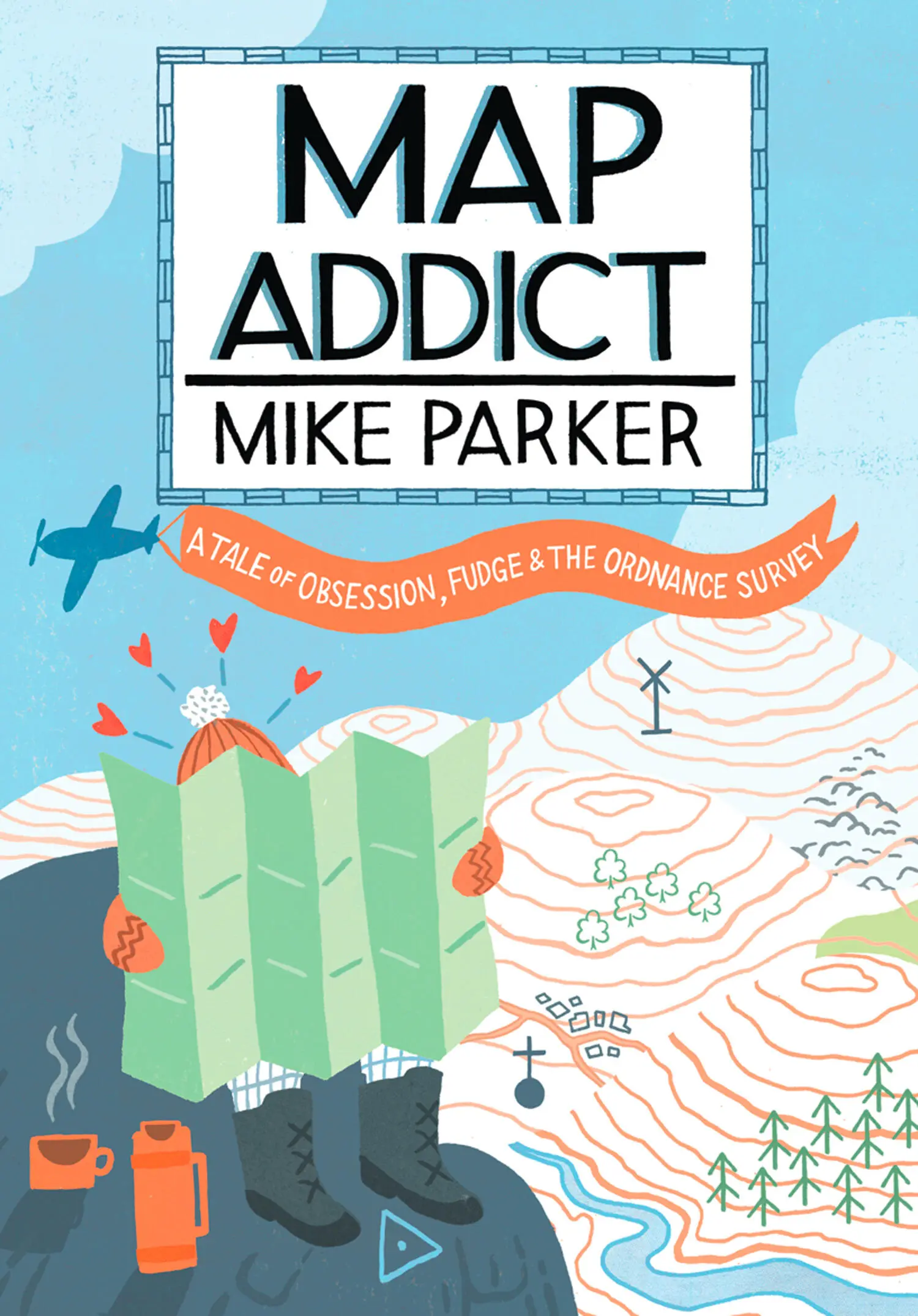
Mike Parker - Map Addict
Здесь есть возможность читать онлайн «Mike Parker - Map Addict» — ознакомительный отрывок электронной книги совершенно бесплатно, а после прочтения отрывка купить полную версию. В некоторых случаях можно слушать аудио, скачать через торрент в формате fb2 и присутствует краткое содержание. Жанр: unrecognised, на английском языке. Описание произведения, (предисловие) а так же отзывы посетителей доступны на портале библиотеки ЛибКат.
- Название:Map Addict
- Автор:
- Жанр:
- Год:неизвестен
- ISBN:нет данных
- Рейтинг книги:4 / 5. Голосов: 1
-
Избранное:Добавить в избранное
- Отзывы:
-
Ваша оценка:
Map Addict: краткое содержание, описание и аннотация
Предлагаем к чтению аннотацию, описание, краткое содержание или предисловие (зависит от того, что написал сам автор книги «Map Addict»). Если вы не нашли необходимую информацию о книге — напишите в комментариях, мы постараемся отыскать её.
Map Addict — читать онлайн ознакомительный отрывок
Ниже представлен текст книги, разбитый по страницам. Система сохранения места последней прочитанной страницы, позволяет с удобством читать онлайн бесплатно книгу «Map Addict», без необходимости каждый раз заново искать на чём Вы остановились. Поставьте закладку, и сможете в любой момент перейти на страницу, на которой закончили чтение.
Интервал:
Закладка:
2. L’ENTENTE CARTIALE
We always have been, we are, and I hope that we always shall be, detested in France.
˜ The Duke of Wellington
That our cartography is transparently the best in the world is the battle cry of every British map addict. We wave our OS Landrangers in the same spirit that the English longbowmen at Crécy flourished their state-of-the-art weaponry at the French, confident that we are holding the latest, the most accurate, the loveliest maps known to man. And one single fact underpins this whole fabrication, the slender basis for our patriotic fantasy. We must have mapped the world better than anyone, because every measurement, in all its precision, and the whole grid on which every map depends are taken from a base that passes through—and is named after—an otherwise unremarkable suburb of London. Greenwich Mean Time, and the Greenwich Meridian, the world’s cartographic backbone, is ours.
And we don’t have to put our country’s name on our stamps. Same principle. We were first, therefore we were the best and got special privileges.
Take that République Française , with your overly wordy timbrespostes and your redundant meridian, left abandoned and overgrown like a Norfolk branch line closed in the 1960s. And take that USA, for that matter. You may have superseded us in just about every possible aspect of superpower status, but we’ve still got the maps, the clocks and the meridian. It’s a small victory, granted, but it’ll have to do.
To a junior map addict, who gazes at a British map with the fondness of Rod Stewart at a brand new blonde, the certainty that our maps are so good is buried deep within and breaks out in pustules of xenophobic acne. In the 1970s, watching the TV news, I was genuinely and repeatedly surprised to see how developed the rest of the world seemed to be when it flashed past on a nightly basis. Surely, these places couldn’t be as sophisticated as the Land of Hope, Glory and the Ordnance Survey? When, at the age of six, I first visited my mother after she’d moved to France, I couldn’t quite believe that Paris had traffic lights, zebra crossings, decent shops, well-dressed people—people even fully dressed at all. It was Not England; therefore it was supposed to be dusty and primitive. It looked—whisper it quietly—just like home. Only—whisper it even more quietly—rather better.
Ah, la belle France . Our nearest neighbour, archest rival, flirtiest paramour, oldest, bestest friend and bitterest foe, all rolled into one. We and the French are like an ancient, brackish couple locked into what looks from the outside like the stalest of wedlock, but which, behind firmly locked doors, is as doe-eyed as a Charles Aznavour chorus. We sneer at them, but around eleven million of us make our way over the Channel every year to wallow in their wine, cheese and meats of dubious provenance. They sneer at us, but can’t get enough of our culture, either high, in the ample shape of royalty and aristocracy, or low, from punk to getting pissed properly. We look down on them for their pomposity, their flagrantly over-inflated sense of their own importance, their rudeness, their insularity, their ponderous bureaucracy, their clinging to a long-vanished past, their dodgy new best friends, their fiercely centripetal politics, their all-round unwarranted, swaggering arrogance. They look down on us for precisely the same reasons.
It is this intense neighbourly rivalry between Britain and France that has driven most of the advances in mapping over the past four hundred years—or, more specifically, it is the ever-watchful competitiveness between their two capital cities, London and Paris. These citystates in all but name have been peering haughtily at each other across that slender ribbon of water for the past two thousand years. Both are convinced that they are the epitome of all that is civilised and progressive in this world, and both have so much in common—not least their terribly high opinion of themselves.
It’s a rivalry that endures, even constantly reinvents itself, like a family feud that passes down the generations long, long after the original protagonists are cold in the sod. Some of the finest mapping of its age was the by-product, such as the forensically detailed eighteenth-century invasion plans that each side drew up of the other’s nearest coastline during that hundred years or more of semi-permanent war that existed between the two nations until the 1815 full stop—or rather, semicolon—of the Battle of Waterloo. As the nineteenth century progressed, the arena for mutual Anglo-French antagonism was widened, each side having already flexed its muscles in competing for territories in north America. Now, no part of the globe was immune from the colonisers, with each side racing to capture—and, for the first time, map—lands in Africa, Asia, the Middle East and the Caribbean. The tectonic plates of power were shifting in Europe too, and lavish maps, often with home territories boldly exaggerated or shown as definite possessions when they were little more than statements of ambition, were produced by British and French cartographers in each nation’s struggle to be perceived as the continent’s top dog. France and Britain took the idea of the map as one of the boldest, and most swiftly absorbed, tools of political indoctrination and launched it into the modern era.
Even in today’s much reduced times, the snippiness between London and Paris continues to fuel outbreaks of hubristic condescension on both sides, wind-assisted by maps. Londoners will glower over the maps, drawn up by London County Council, of sobering Second World War bomb-damage, showing the city utterly blitzed and razed in hard-won victory, and could be forgiven for comparing them with their Parisian equivalents, depicting only the lightest of grazes to the city’s elegant face, thanks to its people’s early capitulation to the losing side. Parisians in the 1980s and ’90s loved to brandish their metro map in the faces of any passing Brits, showing as it did the splendid new RER (Réseau Express Régional) lines that scorched across the city like high-velocity darts, while muttering darkly about their last visit to London and memories of chaos on the Northern and Central Lines. And how fitting was it that, once the extravagant French plans and maps had been compared with the more down-to-earth British ones, London squeaked its victory to host the 2012 Olympics over Paris, the long-time front runner and bookies’ favourite?
When it comes to comparing the current standard of our respective national maps, it’s a shockingly one-sided contest, and I’m really trying to be impartial. The French equivalent of the Ordnance Survey is the Institut Géographique National (IGN), and its maps are awful. Leaden, lumpy, flimsy and downright ugly, they are often hard to find, and not worth the bother of trying. The 1:25 000 series, the equivalent of the OS Explorer maps, is an assault on the eyes, with its harsh colours, grim typefaces and lousy printing; they look plain cheap and you’d be hard pressed to work out a decent walk from any of them. The 1:50 000 orange series, the equivalent of our OS Landrangers, with the same problems of garish colours and typographic overcrowding, somehow manages to be even worse. France is larger than Britain, granted, about two and a half times the size, but they’ve carved up the country so ineptly that you’d have to buy 1,146 of these dreadful maps, at a cost of nearly €10,000, to cover the whole country— nearly six times the number of OS Landrangers (204, costing less than £1,500), which would get you the whole of Britain at exactly the same scale and in far greater style. IGN maps at 1:100 000 are not quite as bad, but really, at any scale, you’d be better off in France with the Michelin series, for they are always far more elegant than the government jobs. But still nowhere near as good as You-Know-Who.
Читать дальшеИнтервал:
Закладка:
Похожие книги на «Map Addict»
Представляем Вашему вниманию похожие книги на «Map Addict» списком для выбора. Мы отобрали схожую по названию и смыслу литературу в надежде предоставить читателям больше вариантов отыскать новые, интересные, ещё непрочитанные произведения.


Обсуждение, отзывы о книге «Map Addict» и просто собственные мнения читателей. Оставьте ваши комментарии, напишите, что Вы думаете о произведении, его смысле или главных героях. Укажите что конкретно понравилось, а что нет, и почему Вы так считаете.