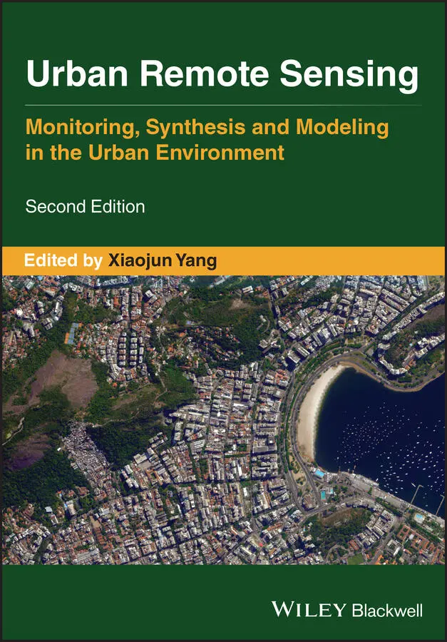
Urban Remote Sensing
Здесь есть возможность читать онлайн «Urban Remote Sensing» — ознакомительный отрывок электронной книги совершенно бесплатно, а после прочтения отрывка купить полную версию. В некоторых случаях можно слушать аудио, скачать через торрент в формате fb2 и присутствует краткое содержание. Жанр: unrecognised, на английском языке. Описание произведения, (предисловие) а так же отзывы посетителей доступны на портале библиотеки ЛибКат.
- Название:Urban Remote Sensing
- Автор:
- Жанр:
- Год:неизвестен
- ISBN:нет данных
- Рейтинг книги:4 / 5. Голосов: 1
-
Избранное:Добавить в избранное
- Отзывы:
-
Ваша оценка:
Urban Remote Sensing: краткое содержание, описание и аннотация
Предлагаем к чтению аннотацию, описание, краткое содержание или предисловие (зависит от того, что написал сам автор книги «Urban Remote Sensing»). Если вы не нашли необходимую информацию о книге — напишите в комментариях, мы постараемся отыскать её.
is a state-of-the-art review of the latest progress in the subject. The text examines how evolving innovations in remote sensing allow to deliver the critical information on cities in a timely and cost-effective way to support various urban management activities and the scientific research on urban morphology, socio-environmental dynamics, and sustainability.
Chapters are written by leading scholars from a variety of disciplines including remote sensing, GIS, geography, urban planning, environmental science, and sustainability science, with case studies predominately drawn from North America and Europe.
A review of the essential and emerging research areas in urban remote sensing including sensors, techniques, and applications, especially some critical issues that are shifting the directions in urban remote sensing research. Illustrated in full color throughout, including numerous relevant case studies and extensive discussions of important concepts and cutting-edge technologies to enable clearer understanding for non-technical audiences.
will be of particular interest to upper-division undergraduate and graduate students, researchers and professionals working in the fields of remote sensing, geospatial information, and urban & environmental planning.
Urban Remote Sensing — читать онлайн ознакомительный отрывок
Ниже представлен текст книги, разбитый по страницам. Система сохранения места последней прочитанной страницы, позволяет с удобством читать онлайн бесплатно книгу «Urban Remote Sensing», без необходимости каждый раз заново искать на чём Вы остановились. Поставьте закладку, и сможете в любой момент перейти на страницу, на которой закончили чтение.
Интервал:
Закладка:
24 Esch, T., Heldens, W., Hirner, A., Keil, M., Marconcini, M., Roth, A., Zeidler, J., Dech, S., and Strano, E. (2017). Breaking new ground in mapping human settlements from space – the global urban footprint. ISPRS Journal of Photogrammetry and Remote Sensing, 134, 30–42. doi: 10.1016/j.isprsjprs.2017.10.012
25 Esch, T., Bachofer, F., Heldens, W., Hirner, A., Marconcini, M., Palacios‐Lopez, D., Roth, A., Üreyen, S., Zeidler, J., Dech, S., and Gorelick, N. (2018). Where we live—a summary of the achievements and planned evolution of the global urban footprint. Remote Sensing 10(6): 895. doi: 10.3390/rs10060895
26 Fang, C., Liu, H., Li, G., Sun, D., and Miao, Z. (2015). Estimating the impact of urbanization on air quality in China using spatial regression models. Sustainability 7(12): 15570–15592. doi: 10.3390/su71115570.
27 Gamba, P., and Houshmand, B. (2002). Joint analysis of SAR, LIDAR and aerial imagery for simultaneous extraction of land cover, DTM and 3D shape of buildings. International Journal of Remote Sensing 23(20): 4439–4450. doi: 10.1080/01431160110114952.
28 Gamba, P., Dell'Acqua, F., and Dasarathy, B.V. (2005). Urban remote sensing using multiple data sets: past, present, and future. Information Fusion 6: 319–326. doi: 10.1016/j.inffus.2005.02.007.
29 Geiß, C., Leichtle, T., Wurm, M., Pelizari, P.A., Standfuß, I., Zhu, X.X., So, E., Siedentop, S., Esch, T., and Taubenbock, H. (2019). Large‐area characterization of urban morphology—mapping of built‐up height and density using TanDEM‐X and Sentinel‐2 data, IEEE Journal of Selected Topics in Applied Earth Observations and Remote Sensing 12(8): 2912–2927. doi: 10.1109/JSTARS.2019.2917755.
30 Golovinskiy, A., Kim, V.G., and Funkhouser, T. (2009). Shape‐based recognition of 3D point clouds in urban environments. IEEE 12th International Conference on Computer Vision 2154–2161. doi: 10.1109/ICCV.2009.5459471.
31 Groisman, P., Shugart, H., Kicklighter, D., Henebry, G., Tchebakova, N., Maksyutov, S., Monier, E., Gutman, G., Gulev, S., Qi, J., Prishchepov, A., Kukavskaya, E., Porfiriev, B., Shiklomanov, A., Loboda, T., Shiklomanov, N., Nghiem, S., Bergen, K., Albrechtová, J., Chen, J., Shahgedanova, M., Shvidenko, A., Speranskaya, N., Soja, A., de Beurs, K, Bulygina, O., McCarty, J., Zhuang, Q., and Zolina, O. (2017). Northern Eurasia future initiative (NEFI): facing the challenges and pathways of global change in the 21st century. Progress in Earth and Planetary Science 4: 41. doi: 10.1186/s40645‐017‐0154‐5.
32 Gutman, G., Janetos, A.C., Justice, C.O., Moran, E.F., Mustard, J.F., Rindfuss, R.R., Skole, D., Turner, B.L. (eds.) (2004). Land Change Science: Observing, Monitoring and Understanding Trajectories of Change on the Earth's Surface. New York: Kluwer Academic.
33 Habib, A.F., Kersting, J., McCaffrey, T.M., and Jarvis, A.M.Y. (2008). Integration of LiDAR and airborne imagery for realistic visualization of 3D urban environments. The International Archives of the Photogrammetry, Remote Sensing and Spatial Information Sciences XXXVII (Part B2): 617–623.
34 Henderson, F.M., and Xia, Z.G. (1998). Radar applications in urban analysis, settlement detection and population analysis. In: Henderson, F.M., Lewis, A.J. (eds.), Principles and Applications of Imaging Radar 733–768. New York: Wiley.
35 Imhoff, M.L., Zhang, P., Wolfe, R.E., and Bounoua, L. (2010). Remote sensing of the urban heat island effect across biomes in the continental USA. Remote Sensing of Environment 114(3): 504–513. doi: 10.1016/j.rse.2009.10.008.
36 Jacobson, M.Z., Nghiem, S.V., Sorichetta, A., and Whitney, N. (2015). Ring of impact from the mega‐urbanization of Beijing between 2000 and 2009. Journal of Geophysical Research: Atmospheres 120: 5740–5756. doi: 10.1002/2014JD023008.
37 Jacobson, M.Z., Nghiem, S.V., and Sorichetta, A. (2019). Short‐term impacts of the megaurbanizations of New Delhi and Los Angeles between 2000 and 2009. Journal of Geophysical Research: Atmospheres 124: 35–56. doi: 10.1029/2018JD029310.
38 JPL (Jet Propulsion Laboratory) (2006). QuikSCAT Science Data Product user's Manual. Jet Propulsion Laboratory Document D‐18053‐RevA. Pasadena, CA: NASA Jet Propulsion Laboratory, California Institute of Technology.
39 Kaufmann, R.K., Seto, K.C., Schneider, A., Liu, Z., Zhou, L., and Wang, W. (2007). Climate response to rapid urban growth: evidence of a human‐induced precipitation deficit. Journal of Climate 20(10): 2299–2306. doi: 10.1175/JCLI4109.1.
40 Leinenkugel, P., Esch, T., and Kuenzer, C. (2011). Settlement detection and impervious surface estimation in the Mekong Delta using optical and SAR remote sensing data. Remote Sensing of Environment 115(12): 3007–3019. doi: 10.1016/j.rse.2011.06.004.
41 Li, M., Koks, E., Taubenböck, H., and van Vliet, J. (2020). Continental‐scale mapping and analysis of 3D building structure. Remote Sensing of Environment 245: 111859. doi: 10.1016/j.rse.2020.111859.
42 Lukac, N., Seme, S., Zlaus, D., Stumberger, G., and Zalik, B. (2014). Building roofs potential assessment based on LiDAR (light detection and ranging) data. Energy 66: 598–609. doi: 10.1016/j.energy.2013.066.
43 Marin, C., Bovolo, F., and Bruzzone, L. (2015). Building change detection in multitemporal very high resolution SAR images. IEEE Transactions on Geoscience and Remote Sensing 53(5): 2664–2682. doi: 10.1109/TGRS.2014.2363548.
44 Masek, J.G., Lindsay, F.E., and Goward, S.N. (2000). Dynamics of urban growth in the Washington DC metropolitan area, 1973‐1996, from Landsat observations. International Journal of Remote Sensing 21(18): 3473–3486. doi: 10.1080/014311600750037507.
45 Masetti, M., Nghiem, S.V., Sorichetta, A., Stevennazi, S., Fabbri, P., Pola, M., Filippini, M., and Brakenridge, G.R. (2015). Investigating urban changes and environmental impacts in Italy. Eos, Earth & Space Science News 96(21): 13–16.
46 Mathews, A.J., and Frazier, A.E. (2017). Unmanned aerial systems. In: J.P. Wilson (ed.), The Geographic Information Science & Technology Body of Knowledge (2nd Quarter 2017). Ithaca, NY: University Consortium for Geographic Information Science (UCGIS). doi: 10.22224/gistbok/2017.2.4.
47 Mathews, A.J., Frazier, A.E., Nghiem, S.V., Neumann, G., and Zhao, Y. (2019). Satellite scatterometer estimation of urban built‐up volume: validation with airborne lidar data. International Journal of Applied Earth Observation and Geoinformation 77: 100–107. doi: 10.1016/j.jag.2019.01.004.
48 Moussavi, M.S., Abdalati, W., Scambos, T., and Neuenschwander, A. (2014). Applicability of an automatic surface detection approach to micro‐pulse photon‐counting lidar altimetry data: implications for canopy height retrieval from future ICESat‐2 data. International Journal of Remote Sensing 35: 5263–5279. doi: 10.1080/01431161.2014.939780.
49 Myint, S.W., Gober, P., Brazel, A., Grossman‐Clarke, S., and Weng, Q. (2011). Per‐pixel vs. object‐based classification of urban land cover extraction using high spatial resolution imagery. Remote Sensing of Environment 115(5): 1145–1161. doi: 10.1016/j.rse.2010.12.017.
50 NASEM (National Academies of Sciences, Engineering, and Medicine) (2018). Thriving on Our Changing Planet: A Decadal Strategy for Earth Observation from Space. Washington, DC: The National Academies Press. doi: 10.17226/24938.
51 Nghiem, S.V., and van Zyl, J.J. (1997). Theory for polarimetric interferometry. Proceedings of Progress in Electromagnetics Research Symposium (Cambridge, MA) 205.
52 Nghiem, S.V., Balk, D., Rodriguez, E., Neumann, G., Sorichetta, A., Small, C., and Elvidge, C. (2009). Observations of urban and suburban environments with global satellite scatterometer data. ISPRS Journal of Photogrammetry and Remote Sensing 64(4): 367–380.
53 Nghiem, S.V. (2015). Global mega urbanization and impacts in the 2000s. IEEE International Geoscience and Remote Sensing Symposium (Milan, Italy) 83–85. doi: 10.1109/IGARSS.2015.7325703.
Читать дальшеИнтервал:
Закладка:
Похожие книги на «Urban Remote Sensing»
Представляем Вашему вниманию похожие книги на «Urban Remote Sensing» списком для выбора. Мы отобрали схожую по названию и смыслу литературу в надежде предоставить читателям больше вариантов отыскать новые, интересные, ещё непрочитанные произведения.


Обсуждение, отзывы о книге «Urban Remote Sensing» и просто собственные мнения читателей. Оставьте ваши комментарии, напишите, что Вы думаете о произведении, его смысле или главных героях. Укажите что конкретно понравилось, а что нет, и почему Вы так считаете.