Oliver Morton - Mapping Mars - Science, Imagination and the Birth of a World
Здесь есть возможность читать онлайн «Oliver Morton - Mapping Mars - Science, Imagination and the Birth of a World» — ознакомительный отрывок электронной книги совершенно бесплатно, а после прочтения отрывка купить полную версию. В некоторых случаях можно слушать аудио, скачать через торрент в формате fb2 и присутствует краткое содержание. Жанр: unrecognised, на английском языке. Описание произведения, (предисловие) а так же отзывы посетителей доступны на портале библиотеки ЛибКат.
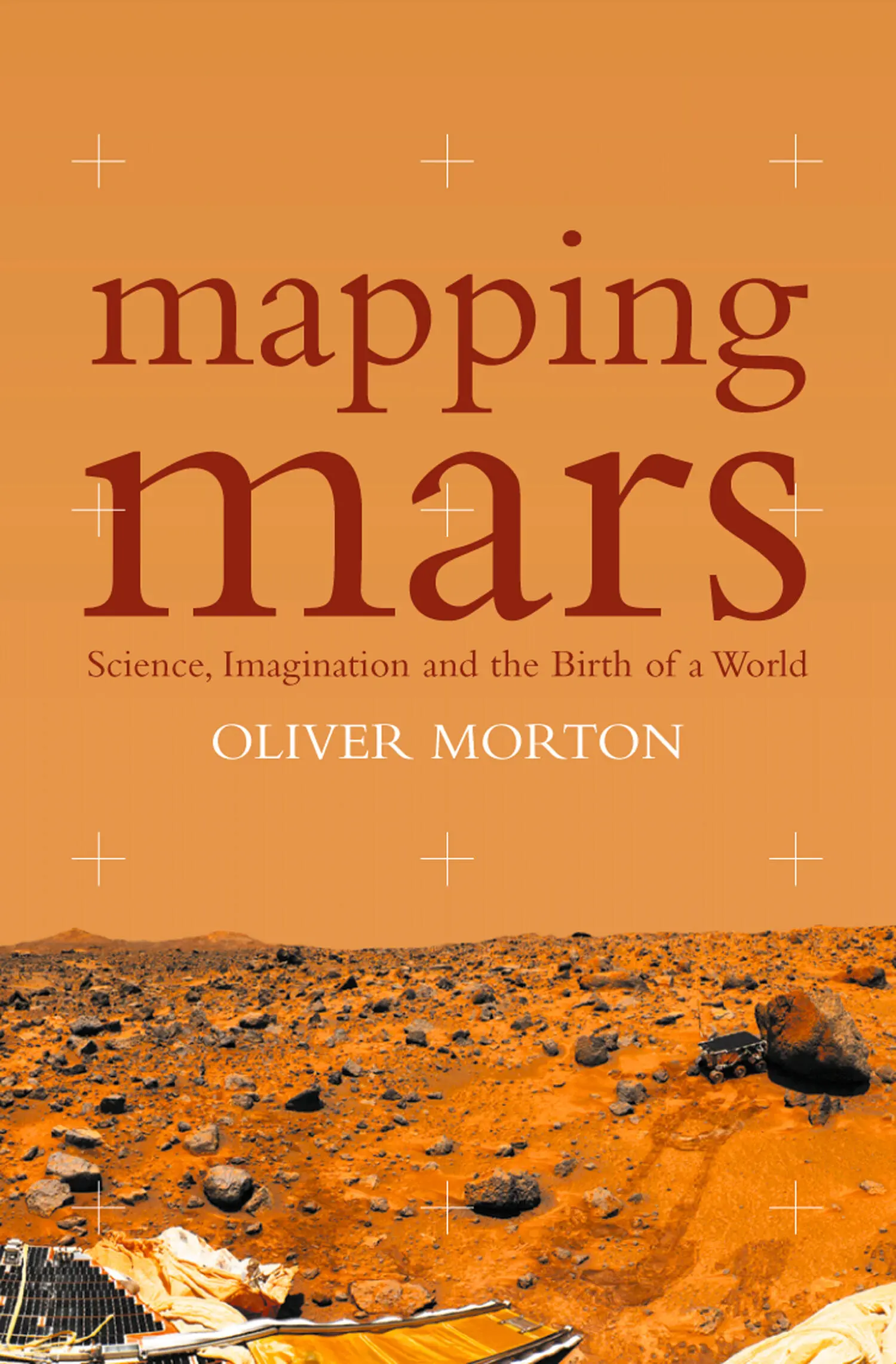
- Название:Mapping Mars: Science, Imagination and the Birth of a World
- Автор:
- Жанр:
- Год:неизвестен
- ISBN:нет данных
- Рейтинг книги:3 / 5. Голосов: 1
-
Избранное:Добавить в избранное
- Отзывы:
-
Ваша оценка:
Mapping Mars: Science, Imagination and the Birth of a World: краткое содержание, описание и аннотация
Предлагаем к чтению аннотацию, описание, краткое содержание или предисловие (зависит от того, что написал сам автор книги «Mapping Mars: Science, Imagination and the Birth of a World»). Если вы не нашли необходимую информацию о книге — напишите в комментариях, мы постараемся отыскать её.
Mapping Mars: Science, Imagination and the Birth of a World — читать онлайн ознакомительный отрывок
Ниже представлен текст книги, разбитый по страницам. Система сохранения места последней прочитанной страницы, позволяет с удобством читать онлайн бесплатно книгу «Mapping Mars: Science, Imagination and the Birth of a World», без необходимости каждый раз заново искать на чём Вы остановились. Поставьте закладку, и сможете в любой момент перейти на страницу, на которой закончили чтение.
Интервал:
Закладка:
John McPhee, In Suspect Terrain
It was Merton Davies who put Airy in his prime position. Mert is a kindly man, tall and thin, dignified but rather jolly. Everyone who knows him speaks fondly of him. You might imagine him embodying decent reliability in a Frank Capra film even before learning that he has worked for the same outfit over more than fifty years. But it’s hardly been a small-town life. Mert Davies was one of the pioneers of spy satellites, one of the small cadre of technical experts who changed the facts of geopolitical life by letting cold warriors see the world over which they were at war from a totally new perspective. After that, he became one of only two people to have played an active role in missions to every planet save Pluto. * He has reshaped – quite literally – the way that earthlings see their neighbours in space. Davies is the man chiefly responsible for the ‘control nets’ of most of the solar system’s planets and moons – complex mathematical corsets that hold the scientific representations of those planetary surfaces together.
The first control net that he created served as the basis for the first maps of Mars made using data from spacecraft, rather than observations from earth. Compiled from fifty-seven pictures sent back when Mariner 6 and Mariner 7 flew past the planet in 1969, that first net tied together 115 points. When I met Davies in his office in Santa Monica thirty years later, his latest Martian control net held 36,397 points from 6320 images. Well into his eighties, Davies was still hard at work augmenting it further.
Davies had been interested in astronomy since boyhood, an interest he had shared with those close to him. In 1942, when he was working for the Douglas Aircraft corporation in El Segundo, California, he started courting a girl named Louise Darling. His interests made their dates a little unusual. Davies had started making a twelve-inch telescope, a demanding project. ‘I had a hard time finishing it,’ he recalls. ‘The amount of grinding it took and the difficulty of polishing that big a surface was a little bit over my head. I would take her with me to polish.’ And so she entered the world of grinding powder and the Foucault test, a simple but wonderfully precise way of gauging a mirror’s shape, which allows an amateur with simple equipment to detect imperfections as small as 50 billionths of a metre. Unorthodox courtship, but it worked. When I met Mert in 1999 he and Louise had been married for more than fifty years.
Just after the war, Davies heard that a think tank within Douglas was working on a paper for the Air Force about the possible uses of an artificial satellite. He applied to join the team more or less on the spot. The think tank soon became independent from Douglas and, as the RAND Corporation, it went on to play a major role in defining America’s national-security technologies and strategies throughout the Cold War. In the early 1950s Davies and his colleagues looked at ways to use television cameras in space in order to send back images of the Soviet Union. Then they developed the idea of using film instead of television – experience with spy cameras on balloons showed that the picture quality could be phenomenal – and returning the exposed frames to earth in little canisters. The idea grew into the Corona project, which after a seemingly endless run of technical glitches and launch failures at the end of the 1950s became a spectacularly successful spy-satellite programme.
While Corona was in its infancy, Davies was seconded to Air Force intelligence at the Pentagon, where he used the new American space technology to try to figure out what Russian space technology might be capable of. When he returned to Santa Monica in 1962, he was ready for a change. Spy satellites were no longer exciting future possibilities for think-tank dreamers, but practical programmes controlled by staff officers and their industry contractors. And there was another problem. ‘A lot of the work at RAND was going into Vietnam – my colleagues were working on reconnaissance issues there – and I wanted no part of that.’
Happily, an alternative offered itself in the form of Bruce Murray, an energetic young professor from the California Institute of Technology in Pasadena, on the other side of Los Angeles. Murray was an earth scientist, not an astronomer. His first glimpse of Mars through a telescope wasn’t a childhood epiphany in the backyard. It was a piece of professional work from the Mount Wilson Observatory. Late as it was, though, that first sight provided emotional confirmation for Murray’s earlier intellectual decision that the other planets were something worth devoting a lifetime’s study to. When Murray looked at Mars through the world-famous sixty-inch telescope, he was not just seeing an evocative light in the sky; he was seeing a world’s worth of new geology, a planet-sized puzzle that he and his Caltech colleagues were determined to crack. Their tool was to be the Jet Propulsion Laboratory, a facility that Caltech managed on behalf of the federal government. JPL, in the foothills of the San Gabriel mountains, had been a centre for military aerospace research since the war. In 1958 the Army ceded it to the newly founded National Aeronautics and Space Administration, as part of which it would become America’s main centre for planetary exploration. By 1961, JPL was planning NASA’s first Mars mission, Mariner 4. The man in charge of building a camera for it was Robert Leighton, a Caltech physics professor. He asked a geologist he knew on the faculty, Bob Sharp, to help him figure out what the camera might be looking at. Sharp asked his eager young colleague Murray to join the team.
Murray and Davies met in 1963; with three young children to support, Murray was keen for some extra income and so found consulting for RAND congenial. He and Davies quite quickly became close friends and Mert started to think he might want to get involved in Murray’s end of the space programme. After all, he had the right credentials: he had been in the space business since the days of the V2 and he had some experience in interpreting images of both the earth and moon as seen from orbit. (At the Pentagon he had analysed Russian pictures of the far side of the moon to see whether they might be fakes.) When Mariner 4’s television camera sent back its image-data – a string of twenty-one grainy pictures covering just 1 per cent of the planet’s surface – Davies was as surprised as almost everybody else to see that it looked not like an earthly desert but like the pock-marked face of the moon, or the aftermath of a terrible war. The space programme was important (Murray and his colleagues would brief the president) but it was also open (they briefed him in front of the cameras). Out among the planets there was no risk of finding yourself in a conflict you wanted no part of, or of having to keep work secret from all but your closest colleagues.
By the time Mariner 6 and Mariner 7 were sent to Mars four years later, in 1969, Davies was a key part of the team dealing with the images they sent back. His particular contribution was to work on the mathematical techniques needed to turn the disparate images into the most reliable possible representation of the planet.
Since the seventeenth century, when Willebrord Snell of Leiden first refined the procedure into something like its modern form, earthbound map makers have turned what can be seen into what can be precisely represented through surveying. Decide on a set of landmarks – Snell and his countrymen liked churches – and then, from each of these landmarks, take the bearings of the other landmarks nearby. From this survey data you can build up a network of fixed points all across the landscape. Plot every point on your map according to measurements made with respect to things in this well-defined network and it will be highly accurate. If, unlike Holland, your country is large, mountainous and only sparsely supplied with steeples, setting up a reliable network in the first place can be hard work – the United States wasn’t properly covered by a single mapping network until the 1930s, when abundant Works Progress Administration labour was available to help with the surveying. But the principle of measuring the angles between lines joining landmarks has been used in basically the same way all over the earth.
Читать дальшеИнтервал:
Закладка:
Похожие книги на «Mapping Mars: Science, Imagination and the Birth of a World»
Представляем Вашему вниманию похожие книги на «Mapping Mars: Science, Imagination and the Birth of a World» списком для выбора. Мы отобрали схожую по названию и смыслу литературу в надежде предоставить читателям больше вариантов отыскать новые, интересные, ещё непрочитанные произведения.


Обсуждение, отзывы о книге «Mapping Mars: Science, Imagination and the Birth of a World» и просто собственные мнения читателей. Оставьте ваши комментарии, напишите, что Вы думаете о произведении, его смысле или главных героях. Укажите что конкретно понравилось, а что нет, и почему Вы так считаете.