Oliver Morton - Mapping Mars - Science, Imagination and the Birth of a World
Здесь есть возможность читать онлайн «Oliver Morton - Mapping Mars - Science, Imagination and the Birth of a World» — ознакомительный отрывок электронной книги совершенно бесплатно, а после прочтения отрывка купить полную версию. В некоторых случаях можно слушать аудио, скачать через торрент в формате fb2 и присутствует краткое содержание. Жанр: unrecognised, на английском языке. Описание произведения, (предисловие) а так же отзывы посетителей доступны на портале библиотеки ЛибКат.
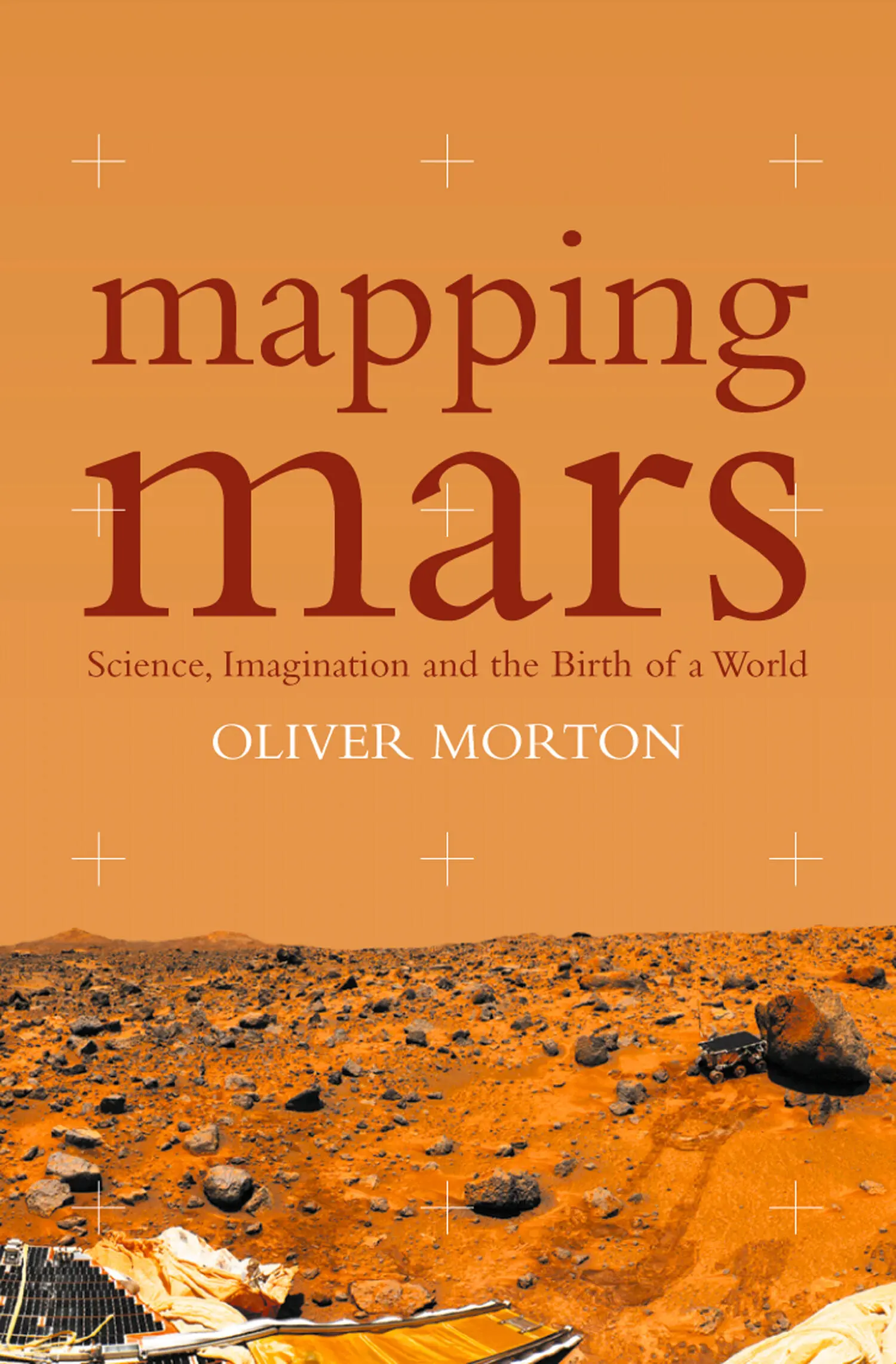
- Название:Mapping Mars: Science, Imagination and the Birth of a World
- Автор:
- Жанр:
- Год:неизвестен
- ISBN:нет данных
- Рейтинг книги:3 / 5. Голосов: 1
-
Избранное:Добавить в избранное
- Отзывы:
-
Ваша оценка:
Mapping Mars: Science, Imagination and the Birth of a World: краткое содержание, описание и аннотация
Предлагаем к чтению аннотацию, описание, краткое содержание или предисловие (зависит от того, что написал сам автор книги «Mapping Mars: Science, Imagination and the Birth of a World»). Если вы не нашли необходимую информацию о книге — напишите в комментариях, мы постараемся отыскать её.
Mapping Mars: Science, Imagination and the Birth of a World — читать онлайн ознакомительный отрывок
Ниже представлен текст книги, разбитый по страницам. Система сохранения места последней прочитанной страницы, позволяет с удобством читать онлайн бесплатно книгу «Mapping Mars: Science, Imagination and the Birth of a World», без необходимости каждый раз заново искать на чём Вы остановились. Поставьте закладку, и сможете в любой момент перейти на страницу, на которой закончили чтение.
Интервал:
Закладка:
The pictures were a lot less than ideal. Their saving grace, though, was that they were stored in a digital format. And even in the 1970s, there was a lot you could do with digital data to make it look better. The distortions in shape and brightness due to the design of the TV tubes could be dealt with. So could the after-image effect caused by the fact that vestiges of the previous picture would be mixed in with the current one. (If all this makes the cameras sound bad, well, they were: but they were also the best that could be sent to Mars.) Contrast could be increased spectacularly with new image-processing algorithms which massaged the data so that small variations in brightness were exaggerated into large ones. The computers could also ‘rectify’ images in which the camera had been pointed off at an angle, rather than straight down, putting them into a form suitable for mapping. Points from Merton Davies’s control net would be identified in a set of pictures and a graph would be created that showed how those points would be arranged in a given map projection. Then the image files would be stretched and squashed until the control points in the images matched the pattern prescribed in the idealised graph. An easy way to check that the system was working correctly was to look at the shapes of craters before and after. In pictures the spacecraft had taken at an angle, perspective made the craters on the surface look elliptical; in pictures the computers had given a correct projection, they were circular.
This time-consuming process produced ‘photomosaics’ with their proportions corrected and their features enhanced. But these mosaics still had their shortcomings. Some of the individual images that made them up would be darker than others, giving a sort of fish-scale effect to the assemblage. The images would also have been taken at different times of day and thus different pieces of the landscape would be lit from different directions – confusing to the inexpert eye and irritating to the expert one. Imperfections in the control net squashed and stretched some areas (in the case of the north polar region the small number of distinctive landmarks was particularly problematic, and would cause Inge no end of grief). And many useful images were simply excluded. Much of the Martian surface had been visited repeatedly by Mariner 9’s cameras, but only one image of any given feature could make it into any given photomosaic. The others had to be left out, even if they offered extra information. In short, even when rectified, the primary Mariner 9 mosaics were ugly, confusing and less detailed than they could have been.
This was where the airbrush mappers came in: Bridges, Inge and their junior colleagues Susan Davis, Barbara Hall and Anthony Sanchez. They overlaid the photomosaics with Cronaflex, a Mylar film covered in a translucent gel on to which they would apply their ink. For the most part – different mappers had different styles – they would first trace the obvious features, such as rims of craters and edges of valleys, then start to work in the detail. As well as looking through their working surface at the mosaic beneath, they would also look at any other pictures they had that showed the same features. They built up a mental image of the forms they were trying to portray, their imaginations reaching into the images for detail, their discipline pulling them back from self-delusion. * They made their Mars in their minds and their airbrushes whispered it on to the Cronaflex. The concentration required was phenomenal. Ralph Aeschliman, the only airbrush artist still working at Flagstaff in 2000, likened it to being a bathroom plunger stuck to a television screen: ‘If you got interrupted there was this schwooup noise as you tore yourself away.’
Making the maps was a way of working through the data, one that did so in images rather than words. Inge talks of it as an act of interpretation, a way of precisely describing the television team’s data. But these were not just descriptions; they were pictures. Indeed, to some they were art. Aeschliman was scraping a living as a landscape artist in the Pacific north-west – he had an intriguing style that drew on Chinese influences – when a reawakened interest in astronomy led him to buy some of the USGS maps in the mid-1980s. * ‘I’d always hated airbrush art – it was always so slick – but in those maps it was like dancing. It’s hard to describe – very disciplined but very free too, the representing of a mental landscape built up from source material that’s very scattered and different.’ When his rent increased three times in a year, he decided it was time to head for warmer climes and clearer skies in the south-west. When he got to Flagstaff, he came to the USGS and asked for a job.
Aeschliman was instructed in the planetary mappers’ technique by Bridges – ‘There were times when I thought I’d just never be able to do it’ – but his greatest respect was reserved for Inge. ‘He was very spontaneous. He worked very rapidly and his work sort of sparkles. It has a presence.’ Inge, now confined to a wheelchair by multiple sclerosis and myasthenia gravis, is flattered when I remind him that Aeschliman thinks of him as an artist. Though his living room walls are decorated with expressive abstracts he’s painted, Inge claims to set little store by them. ‘I’m a dabbler; I don’t think I qualify as anything better than a good motel artist.’ But then Inge didn’t set out to be an artist; he was always set on being part of the research programme itself. So while he plays down any pride that he takes in the obvious artistry of his maps, he is happy to boast about the projects they have made him part of. ‘Of the twenty-five mappable surfaces in the solar system – the solid planets and moons we’ve visited – I’ve worked on eighteen of them.’
Of all those surfaces, Mars had the most time and ink devoted to it. In 1971 Batson and Masursky decided that they would cover the whole planet at a scale of one to 5 million – fifty kilometres to the centimetre, a scale at which the smallest features identifiable in the Mariner 9 data would be just discernible. To make the work manageable, the surface was cut into thirty pieces, known as quadrangles. Pat Bridges mapped an astonishing eleven of them; Hall, Davis and Sanchez between them did another twelve; Inge did seven as well as maps and globes of the whole planet. He also oversaw the production process, imposing rigorous quality control, doing the half-tone separations personally, flying to the survey’s presses in Reston, Virginia to supervise the printing and making ‘an obnoxious little shit’ of himself. The series was not finished until 1979, eight years after Mariner 9 arrived at its destination. But the final result is magical. These are maps to lose yourself in, like windows in a spaceship’s floor. They seem at the same time transparent to the truth and dense in artistry. They combine the presence of that which is real with the power of that which is inscribed.
The 1960s and 1970s were a great time for mapping. The space age was coming home to roost: the earth, that always-inhabited, always-experienced world, was being made over into an objectivised planet just like its neighbours, a minutely measured ball of rock and water. In the 1960s Argon spy satellites, offshoots of the Corona programme with cameras optimised for map making, were used to produce vast mosaic maps of poorly surveyed Africa and Antarctica. Other satellites were busily tightening up a global control net far more sophisticated than the Martian one, refining humanity’s knowledge of the shape of its world so that missiles would more easily be able to find their targets. The needs of the nuclear submarines from which those missiles would be launched, along with the interests of a new generation of earth scientists, were driving new studies of the earth’s ocean floors; while detailed data on the ocean depths were highly classified, beautifully drawn maps based on those data allowed earth scientists to see the spreading ridges and transverse faults central to new ideas about plate tectonics.
Читать дальшеИнтервал:
Закладка:
Похожие книги на «Mapping Mars: Science, Imagination and the Birth of a World»
Представляем Вашему вниманию похожие книги на «Mapping Mars: Science, Imagination and the Birth of a World» списком для выбора. Мы отобрали схожую по названию и смыслу литературу в надежде предоставить читателям больше вариантов отыскать новые, интересные, ещё непрочитанные произведения.


Обсуждение, отзывы о книге «Mapping Mars: Science, Imagination and the Birth of a World» и просто собственные мнения читателей. Оставьте ваши комментарии, напишите, что Вы думаете о произведении, его смысле или главных героях. Укажите что конкретно понравилось, а что нет, и почему Вы так считаете.