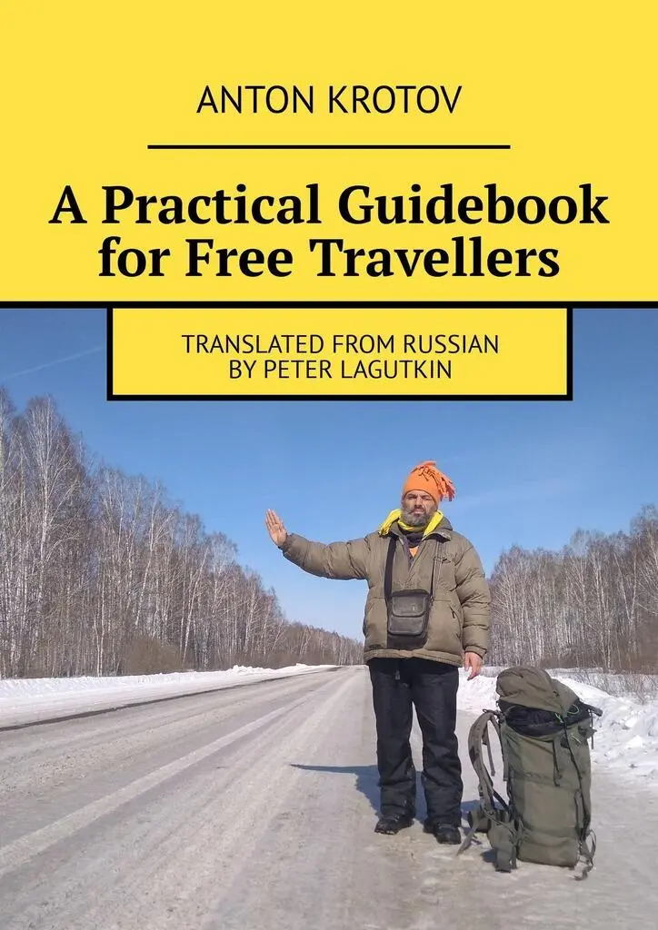
Anton Krotov - A Practical Guidebook for Free Travellers. Translated from Russian by Peter Lagutkin
Здесь есть возможность читать онлайн «Anton Krotov - A Practical Guidebook for Free Travellers. Translated from Russian by Peter Lagutkin» — ознакомительный отрывок электронной книги совершенно бесплатно, а после прочтения отрывка купить полную версию. В некоторых случаях можно слушать аудио, скачать через торрент в формате fb2 и присутствует краткое содержание. ISBN: , Жанр: Путешествия и география, Справочники, Руководства, на английском языке. Описание произведения, (предисловие) а так же отзывы посетителей доступны на портале библиотеки ЛибКат.
- Название:A Practical Guidebook for Free Travellers. Translated from Russian by Peter Lagutkin
- Автор:
- Жанр:
- Год:неизвестен
- ISBN:9785005375612
- Рейтинг книги:3 / 5. Голосов: 1
-
Избранное:Добавить в избранное
- Отзывы:
-
Ваша оценка:
A Practical Guidebook for Free Travellers. Translated from Russian by Peter Lagutkin: краткое содержание, описание и аннотация
Предлагаем к чтению аннотацию, описание, краткое содержание или предисловие (зависит от того, что написал сам автор книги «A Practical Guidebook for Free Travellers. Translated from Russian by Peter Lagutkin»). Если вы не нашли необходимую информацию о книге — напишите в комментариях, мы постараемся отыскать её.
A Practical Guidebook for Free Travellers. Translated from Russian by Peter Lagutkin — читать онлайн ознакомительный отрывок
Ниже представлен текст книги, разбитый по страницам. Система сохранения места последней прочитанной страницы, позволяет с удобством читать онлайн бесплатно книгу «A Practical Guidebook for Free Travellers. Translated from Russian by Peter Lagutkin», без необходимости каждый раз заново искать на чём Вы остановились. Поставьте закладку, и сможете в любой момент перейти на страницу, на которой закончили чтение.
Интервал:
Закладка:
Roadwork is slowly improving in Russia, and a physically impassable major highway is largely a thing of the past. Arteries connecting Russia’s main cities and marked with the letter M in Russian atlases (such as M-5 from Moscow to Chelyabinsk, or M-18 from St. Petersburg to Murmansk) are all suitable for hitch-hiking, with much traffic round the clock and in every season.
Other roads, marked as those of «local significance’, can be more problematic.
Hitch-hiker’s speed and success will depend on the direction he is headed in. Biggest traffic, best road conditions, and most successful hitch-hiking happens on the roads leading to (or away from) Moscow. Even 2,000km (or 1,240mi) away from the capital, you can feel the pull of the metropolis. It is also quite convenient to travel to and from St. Petersburg, or any other larger urban area such as Chelyabinsk: big cities «draw in» vehicles from hundreds of kilometres away.
Usually, «capitals» (or centres) of first-level administrative divisions (some called oblasts , some krais , some «autonomous republics» in the mind-boggling Russian nomenclature) draw in cars from the entire region. Second-level divisions, the rayons , also have their «capitals» which attract cars from the periphery and eject them in the direction of the regional capital. There are fewer cars in areas near intra-divisional borders than around capitals of divisions.
Major and smaller urban areas act as «magnets,» drawing in cars from surrounding areas. The bigger the «magnet» and the greater the distance from the nearest other «magnet» – the stronger its attraction becomes. Success lies in moving along those «field lines,» whereas trying to cross one of them will be difficult. And where there’s no «force field» at all, i.e., in between the magnets (where borders of divisions, or countries, meet), traffic is the lightest and waiting time the longest, but chances are that when you finally get picked up you will be taken a long way.
It is advisable that everyone should have a road atlas, showing the entire territory of ex-USSR. A great variety of them became available recently, and most typical errors appearing in those published before 2000 have been corrected. But remember that no road atlas is guaranteed to be error-free! There may be a new road, not shown on your map, and drawing traffic away from the one you’ve used before; or you can find that a road or a bridge marked on your map doesn’t actually exist. Ask drivers and hitch-hikers about your planned route and avoid missing an important piece of the puzzle.
In the northernmost part of our country, some roads marked on maps are actually «winter roads,» only functioning from January to March and impassable at any other time.
Travelling abroad, keep it in mind that moving from one country to another can only be done through officially designated border crossings, and this also applies to ex-Soviet (now independent) republics. Some heavy-trafficked roads connecting countries like Kazakhstan and Kyrgyzstan can pass through a border crossing which is only open to citizens of those respective countries and not to any third-country nationals; a Russian (or Western, or Chinese, etc.) traveller trying to cross there will be commanded out of the car and instructed to go look for another way. Or take the Russia – Mongolia crossing near Mondy, convenient for accessing the lake Khuvsgul, where citizens of the Ukraine or Byelorussia will have to make a 2,000-km detour to another crossing at Kyakhta. Some pairs of neighbouring countries in Asia and Africa don’t have any mutual border crossings at all because their rulers are at odds with each other. All such facts need to be found out before you set out on a cross-border journey.
Many border crossings close at night; some close for weekends. Arriving to such a crossing on Friday evening, you may find yourself waiting until Monday morning!
Drivers picking you up in frontier areas are commonly more likely to expect payment for the lift, so take extra care.
Spots On The Road
Spotis a key concept in hitch-hiking – and your success will largely depend on your ability to find good ones. A driver spotting you occupying a good spot will find it easy and comfortable to pick you up, and it’ll happen soon. But if your spot is bad, you may have to wait for several hours and see hundreds of cars pass by and not a single one stop for you.
Good spots can be few and far between, so even a couple of kilometres’ walk can be worthwhile if it takes you to the spot where you won’t have to wait for long. Sometimes it’s worthwhile to get off ten or twenty km ahead of your current vehicle’s final destination, because then the good spot will advance you a hundred or two kilometres, and soon.
The worst places to be at for a hitch-hiker are: bridges, tunnels, overpasses, «No stopping» signs, steep slopes, and inhabited localities. Choosing to hitch-hike in any of these places, you dramatically reduce the percentage of vehicles willing to stop for you. Neither is it advisable to hitch-hike at a bus stop, because the drivers may mistake you for a waiting commuter.
Narrow portions of the road with heavy traffic are bad for safety reasons. When you hit one of those, better walk ahead and look for a clearing, even if it means standing at a bus stop.
Now let’s talk about good spots. Roads have features, i.e., places where drivers will slow down and be more cautious than usual. These include: 1) traffic control stations, international borders, and customs control; 2) junctions; 3) railway crossings; 4) major road defects (such as a gravel patch interrupting regular bedding); 5) traffic lights; and some others.
Such features are vital for you. Standing ahead of one is non-productive: the driver’s attention is concentrated on the trouble ahead, not on the hitch-hiker, so practically nobody will stop to pick you up ahead of a traffic police station, for example. And almost no one will pick you up right ahead of a junction, because they won’t understand which way you want to go.
However, standing past such places, your chances to flag something down increase dramatically. Therefore, you should choose a spot some twenty or thirty metres past the feature (police station, railway crossing, junction, gravel patch…), not walk any further and wait for your hitch-hiking success. If you see a sequence of features, walk past all of them. If you’re in a hilly area, which happens a lot, then choose one hill and stand on top of it – that will make you visible from afar and the speed of passing vehicles will be minimal. Standing in between two hills or on a slope – not a good idea!
It’s also good to stand on a curve where drivers have to slow down, especially on a mild left-hand curve (where a hitch-hiker is seen from far away; whereas on a right-hand curve he will be seen abruptly, as if pouncing on you from around the corner). For safety reasons, though, it is a bad idea to flag down vehicles on road curves in winter, when there can be ice on the road.
(In countries with left-side driving, of course, the right-hand curve possesses above-described beneficial qualities. By the way, use your left hand to hitch-hike there!)
When I try to get a lift, with not too much traffic around and general situation looking normal, and see there’s no reaction and no vehicles stop for me – it means I’ve chosen the wrong spot. Then it makes sense to take a break, walk a kilometre or two, or three; there could be a junction or police station ahead.
At a good spot, the driver: 1) can see you from far away; 2) is not distracted or frightened by anything else (police, peddlers, other hitch-hikers); 3) can pull over and not be in the way of other vehicles.
Читать дальшеИнтервал:
Закладка:
Похожие книги на «A Practical Guidebook for Free Travellers. Translated from Russian by Peter Lagutkin»
Представляем Вашему вниманию похожие книги на «A Practical Guidebook for Free Travellers. Translated from Russian by Peter Lagutkin» списком для выбора. Мы отобрали схожую по названию и смыслу литературу в надежде предоставить читателям больше вариантов отыскать новые, интересные, ещё непрочитанные произведения.


Обсуждение, отзывы о книге «A Practical Guidebook for Free Travellers. Translated from Russian by Peter Lagutkin» и просто собственные мнения читателей. Оставьте ваши комментарии, напишите, что Вы думаете о произведении, его смысле или главных героях. Укажите что конкретно понравилось, а что нет, и почему Вы так считаете.