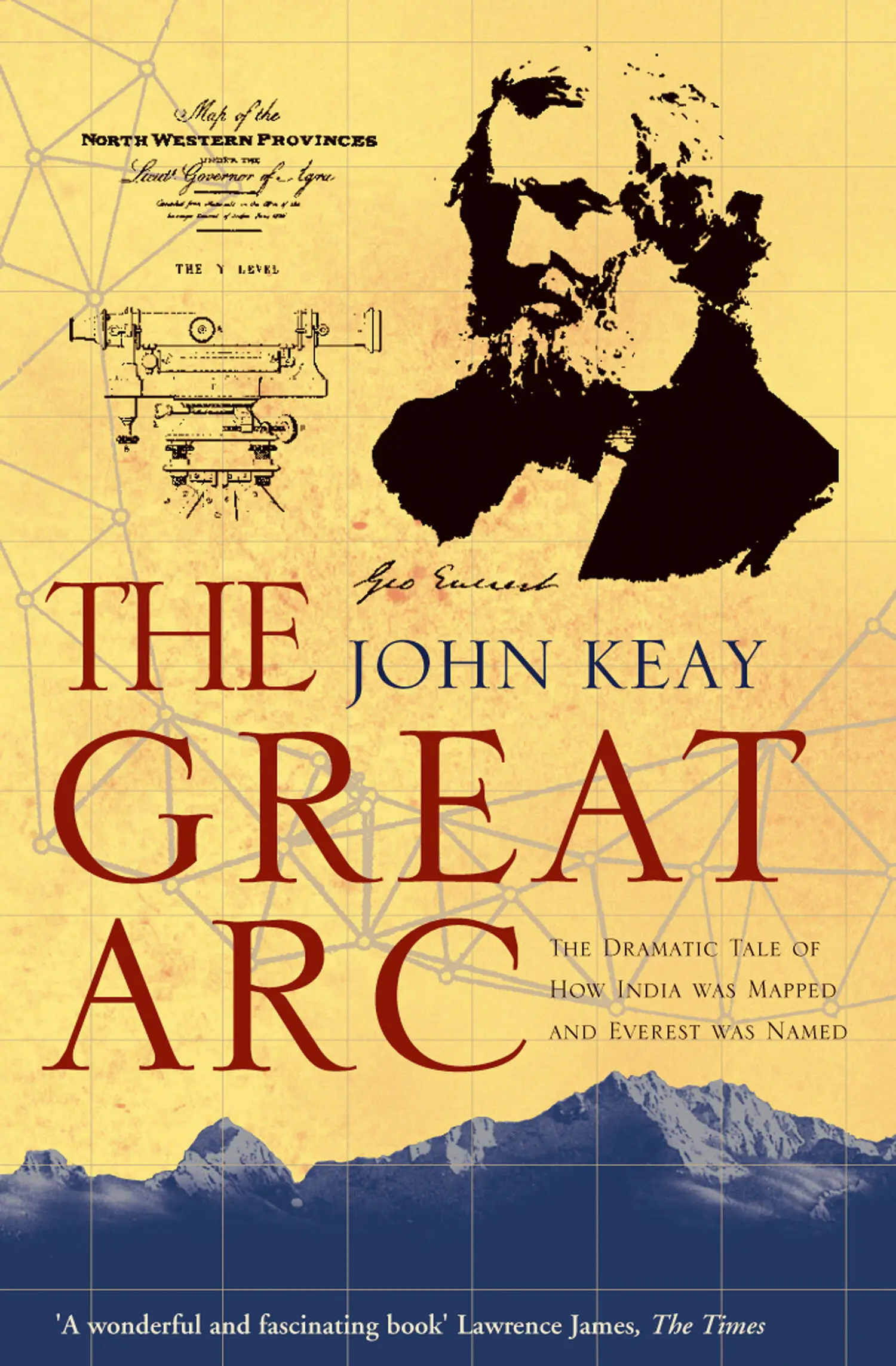
John Keay - The Great Arc - The Dramatic Tale of How India was Mapped and Everest was Named
Здесь есть возможность читать онлайн «John Keay - The Great Arc - The Dramatic Tale of How India was Mapped and Everest was Named» — ознакомительный отрывок электронной книги совершенно бесплатно, а после прочтения отрывка купить полную версию. В некоторых случаях можно слушать аудио, скачать через торрент в формате fb2 и присутствует краткое содержание. Жанр: unrecognised, на английском языке. Описание произведения, (предисловие) а так же отзывы посетителей доступны на портале библиотеки ЛибКат.
- Название:The Great Arc: The Dramatic Tale of How India was Mapped and Everest was Named
- Автор:
- Жанр:
- Год:неизвестен
- ISBN:нет данных
- Рейтинг книги:3 / 5. Голосов: 1
-
Избранное:Добавить в избранное
- Отзывы:
-
Ваша оценка:
The Great Arc: The Dramatic Tale of How India was Mapped and Everest was Named: краткое содержание, описание и аннотация
Предлагаем к чтению аннотацию, описание, краткое содержание или предисловие (зависит от того, что написал сам автор книги «The Great Arc: The Dramatic Tale of How India was Mapped and Everest was Named»). Если вы не нашли необходимую информацию о книге — напишите в комментариях, мы постараемся отыскать её.
The Great Arc: The Dramatic Tale of How India was Mapped and Everest was Named — читать онлайн ознакомительный отрывок
Ниже представлен текст книги, разбитый по страницам. Система сохранения места последней прочитанной страницы, позволяет с удобством читать онлайн бесплатно книгу «The Great Arc: The Dramatic Tale of How India was Mapped and Everest was Named», без необходимости каждый раз заново искать на чём Вы остановились. Поставьте закладку, и сможете в любой момент перейти на страницу, на которой закончили чтение.
Интервал:
Закладка:
However, a far greater complication arose from the fact that the earth, as well as being uneven, is round. This means that the angles of any triangle on its horizontal but rounded surface do not, as on a level plane, add up to 180 degrees. Instead they are slightly opened by the curvature and so come to something slightly more than 180 degrees. This difference is known as the spherical excess, and it has to be deducted from the angles measured before any conclusions can be drawn from them.
For a local survey of a few hundred square miles the discrepancies which were found to result from spherical excess scarcely mattered. They could anyway be approximately allocated throughout the measurement after careful observation of the actual latitude and longitude at the extremities of the survey. This was how Mackenzie operated. But such rough-and-ready reckoning was quite unsatisfactory for a survey of several thousand square miles (since any error would be rapidly compounded); and it was anathema to a survey with any pretensions to great accuracy.
The simplest solution, as proposed by geographers of the ancient world, was to work out a radius and circumference for the earth and deduce from them a standard correction for spherical excess which might then be applied throughout any triangulation. But here arose another and still greater problem. The earth, although round, had been found to be not perfectly round. Astronomers and surveyors in the seventeenth century had reluctantly come to accept that it was not a true sphere but an ellipsoid or spheroid, a ‘sort-of sphere’. Exactly what sort of sphere, what shape of spheroid, was long a matter of dispute. Was it flatter at the sides, like an upright egg, or at the top, like a grapefruit? And how much flatter?
Happily, by Lambton’s day the question of the egg versus the grapefruit had been resolved. In the 1730s two expeditions had been sent out from France, one to the equator in what is now Ecuador and the other to the Arctic Circle in Lapland. Each was to obtain the length of a degree of latitude by triangulating north and south from a carefully measured base-line so as to cover a short arc of about two hundred miles. Then, by plotting the exact positions of the arc’s extremities by astronomical observations, it should be possible to obtain a value for one degree of latitude. Not without difficulty and delay – the equatorial expedition was gone for over nine years – this was done and the results compared. The length of a degree in Ecuador turned out to be over a kilometre shorter than that in Lapland, in fact just under 110 kilometres compared with just over 111. The parallels of latitude were thus closer together round the middle of the earth and further apart at its poles. The earth’s surface must therefore be more curved at the equator and must be flatter at the poles. The grapefruit had won. The earth was shown to be what is called an ‘oblate’ spheroid.
There remained the question of just how much flatter the poles were, or of how oblate the spheroid was; and of whether this distortion was of a regular or consistent form. This was the challenge embraced by the French savants and by William Roy in the late eighteenth century. Instruments were becoming much more sophisticated and expectations of accuracy correspondingly higher. The pioneering series of triangles earlier measured down through France was extended south into Spain and the Balearic Islands and then north to link across the English Channel with Roy’s triangles as they were extended up the spine of Britain. The resultant arc was much the longest yet measured and, despite a number of unexplained inconsistencies, provided a dependable basis for assessing the earth’s curvature in northern latitudes, and so the spherical excess.
Lambton was now proposing to do the same thing in tropical latitudes, roughly midway between the equator and northern Europe. But like his counterparts in Europe, he played down the element of scientific research when promoting his scheme and stressed the practical value that would arise from ‘ascertaining the correct positions of the principal geographical points [within Mysore] upon correct mathematical principles’. The precise width of the Indian peninsula would also be established, a point of some interest since it was now British, and his series of triangles might later be ‘continued to an almost unlimited extent in every other direction’. Local surveys, like Mackenzie’s, would be greatly accelerated if, instead of having to measure their own base-lines, they could simply adopt a side from one of Lambton’s triangles. And into his framework of ‘principal geographic points’ existing surveys could be slotted and their often doubtful orientation in terms of latitude and longitude corrected. Like an architect, he would in effect be creating spaces which, indisputably sound in structure, true in form and correct in position, might be filled and furnished as others saw fit.
He could, however, scarcely forbear to mention that his programme would also fulfil another ‘desideratum’, one ‘still more sublime’ as he put it: namely to ‘determine by actual measurement the magnitude and figure of the earth’. Precise knowledge of the length of a degree in the tropics would not be without practical value, especially to navigators whose charts would be greatly improved thereby. But Lambton was not thinking of sailors. As he tried to explain in long and convoluted sentences, his measurements aimed at ‘an object of the utmost importance in the higher branches of mechanics and physical astronomy’. For besides the question of the curvature of the earth, doubts had surfaced about its composition and, in particular, the effect this might be having on plumb lines. Plumb lines indicated the vertical, just as spirit levels did the horizontal, from which angles of elevation were measured both in astronomy (when observing for latitude and longitude) and in terrestrial surveying (when measuring heights). But inconsistencies noted in the measurement of the European arc had suggested that plumb lines did not always point to the exact centre of the earth. They sometimes seemed to be deflected, perhaps by the ‘attraction’ of nearby hills. If the vertical was variable – as indeed it is – it was vital to know why, where, and by how much. New meridional measurements in hitherto unmeasured latitudes might, hoped Lambton, provide the answers.
Whether, reading all this, anyone in India had the faintest idea what Lambton was on about must be doubtful. But Arthur Wellesley warmly commended his friend’s scientific distinction, Mackenzie strongly urged the idea of a survey which would surely verify his own, and Governor-General Richard Wellesley was not averse to a scheme which, while illustrating his recent conquests, might promote the need for more. The beauty of map-making as an instrument of policy was already well understood; it would play no small part in later developments.
In early 1800, therefore, the third Mysore Survey was approved, if not fully understood, and Lambton immediately began experimenting with instruments and likely triangles. For what was described as ‘a trigonometrical survey of the peninsula’ it was essential first to establish a working value for the length of a degree of latitude in mid-peninsula. Like those expeditions to Lapland and Ecuador, Lambton would therefore begin in earnest by planning a short arc in the vicinity of Madras. It was not, though, until April 1802 that he began to lay out the first base-line which would also serve as the sheet-anchor of the Great Trigonometrical Survey of India.
The delay was caused by the difficulty of obtaining suitable instruments. Fortuitously a steel measuring chain of the most superior manufacture had been found in Calcutta. Along with a large Zenith Sector (for astronomical observation) and other items, the chain had originally been intended for the Emperor of China. But as was invariably the case, the Macartney Mission of 1793 had received an imperial brush-off and Dr Dinwiddie, who was to have demonstrated to His Celestial Highness the celestial uses of British-made instruments, had found himself obliged to accept the self-same instruments in payment for his services.
Читать дальшеИнтервал:
Закладка:
Похожие книги на «The Great Arc: The Dramatic Tale of How India was Mapped and Everest was Named»
Представляем Вашему вниманию похожие книги на «The Great Arc: The Dramatic Tale of How India was Mapped and Everest was Named» списком для выбора. Мы отобрали схожую по названию и смыслу литературу в надежде предоставить читателям больше вариантов отыскать новые, интересные, ещё непрочитанные произведения.


Обсуждение, отзывы о книге «The Great Arc: The Dramatic Tale of How India was Mapped and Everest was Named» и просто собственные мнения читателей. Оставьте ваши комментарии, напишите, что Вы думаете о произведении, его смысле или главных героях. Укажите что конкретно понравилось, а что нет, и почему Вы так считаете.