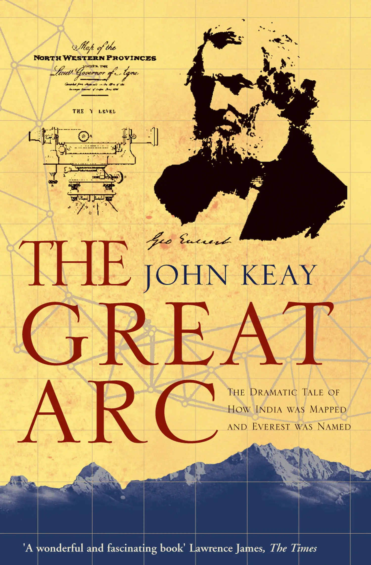
John Keay - The Great Arc - The Dramatic Tale of How India was Mapped and Everest was Named
Здесь есть возможность читать онлайн «John Keay - The Great Arc - The Dramatic Tale of How India was Mapped and Everest was Named» — ознакомительный отрывок электронной книги совершенно бесплатно, а после прочтения отрывка купить полную версию. В некоторых случаях можно слушать аудио, скачать через торрент в формате fb2 и присутствует краткое содержание. Жанр: unrecognised, на английском языке. Описание произведения, (предисловие) а так же отзывы посетителей доступны на портале библиотеки ЛибКат.
- Название:The Great Arc: The Dramatic Tale of How India was Mapped and Everest was Named
- Автор:
- Жанр:
- Год:неизвестен
- ISBN:нет данных
- Рейтинг книги:3 / 5. Голосов: 1
-
Избранное:Добавить в избранное
- Отзывы:
-
Ваша оценка:
The Great Arc: The Dramatic Tale of How India was Mapped and Everest was Named: краткое содержание, описание и аннотация
Предлагаем к чтению аннотацию, описание, краткое содержание или предисловие (зависит от того, что написал сам автор книги «The Great Arc: The Dramatic Tale of How India was Mapped and Everest was Named»). Если вы не нашли необходимую информацию о книге — напишите в комментариях, мы постараемся отыскать её.
The Great Arc: The Dramatic Tale of How India was Mapped and Everest was Named — читать онлайн ознакомительный отрывок
Ниже представлен текст книги, разбитый по страницам. Система сохранения места последней прочитанной страницы, позволяет с удобством читать онлайн бесплатно книгу «The Great Arc: The Dramatic Tale of How India was Mapped and Everest was Named», без необходимости каждый раз заново искать на чём Вы остановились. Поставьте закладку, и сможете в любой момент перейти на страницу, на которой закончили чтение.
Интервал:
Закладка:
The positions of these vital reference points could have been established by careful observation of the stars. But as Everest would repeatedly emphasise, astronomical observations only gave the desired degree of accuracy if conducted over many months, preferably years, from well-equipped and professionally-manned observatories. Constructing and operating such observatories across a subcontinent was out of the question; and for reasons that were only partly understood at the time, observatories seemed to be affected by their surroundings. Better and simpler was the geometrical approach of triangulation. It was not quicker. The Great Trigonometrical Survey had taken the field twenty years before Everest became involved and would not complete its work until twenty years after he left. Nor was it necessarily cheaper. As Everest was about to discover, in terms of lives lost and rupees spent the cost would exceed that of many contemporary Indian wars. But triangulation was well-tried, accurate to the point of mathematical certainty, and so more acceptable to the scientific world.
Such a survey still depended on the occasional astronomical observation in order to locate and orientate its triangles in terms of the earth’s grid of latitude and longitude. It also depended on the occasional measurement along the ground. Known as a ‘base-line’, this was needed to get the triangulation going in the first place by establishing the distance between the first two points. It was also a useful way of verifying the accuracy of a protracted triangulation, since the distance between any two points as established by triangulation could be checked by another actual measurement on the ground.
In the case of a ‘secondary triangulation’ like Everest’s between the Kistna and Godavari, base-line measurements and astronomical observations were not necessary. Everest’s job was to connect trig stations along the east coast (whose relative positions had already been established by the more elaborate methods and instruments of primary triangulation) with those of another chain of even more exacting primary triangulation about a hundred miles inland to the west.
The latter roughly followed the 78-degree meridian (or north – south line of longitude) and consisted of a continuous chain of triangles which had been carried from Cape Comorin at the tip of the Indian peninsula as far north as Hyderabad, a distance of about seven hundred miles. Already this ‘series’ was known as the Great Arc of the Meridian. As well as providing the spine on which the whole skeleton of the Great Trigonometrical Survey depended, it was the aspect of the Survey’s work which most appealed to George Everest. In fact his present assignment he saw mainly as a way of proving that he was pre-eminently qualified to succeed Colonel Lambton as the grand master of the Great Arc.
To one like Everest who happened to have been baptised (and so probably born) in the London parish of Greenwich, meridians must early have meant something. Greenwich had been the site of England’s Royal Observatory since the seventeenth century. British navigators and surveyors regarded the Greenwich meridian, or ‘mid-day’ line (because at any point along a north – south meridian the sun reaches its zenith at the same time), as the zero from which they calculated all longitudinal distances and from which on maps and charts they extended the graticule, or grid, of the globe’s 360 degrees of longitude. Later in the nineteenth century this British convention would win international approval. Greenwich Mean Time would become established as a world standard and the Greenwich meridian would be universally recognised as o degrees longitude. It became, in fact, the north – south equivalent of the east – west equator at o degrees latitude.
Everest therefore knew about meridians from childhood and may well have been intrigued by the problems of determining them. Later, at the Royal Military Academy at Woolwich, he had studied the mathematics, mechanics and measuring techniques essential for an officer joining the artillery. But his family background was not scientific, his father being a solicitor; and apart from some basic survey work in Java when British forces had invaded and occupied that island during the Napoleonic wars, his career had thus far differed little from that of other army officers in India. Appointment to the Great Trigonometrical Survey was his big opportunity. Neither mutiny, flood nor fever was going to impede his determination to excel.
Returning from the soaking at Sarangapalle, Everest revisited his first observation post, erected his theodolite – the instrument used for measuring the angles between sight-lines – and scanned the distant ridge of Panch Pandol through its telescope. Nothing had been heard of his signalmen for three weeks; nor was there now any sign of their signals. But a few days later a gap was noticed in the dark vegetation which covered the ridge. Day by day it was seen to grow into two sizeable clearings. ‘After a fortnight’s further waiting I had sufficient daylight behind [the clearings] to distinguish the colours of the Great Trigonometrical Survey flying on the one spot and a signal-marker on the other.’ Bearings could now be taken to ascertain the angle between the sight-line to this new marker and that to another marker at an already established observation post.
Measuring such angles was the essence of trigonometrical survey work. Another triangle was thus completed and, once the sight-line to Panch Pandol had been calculated, it could serve as the base for the next triangle. The whole party then moved on towards the ridge to begin their observations anew and, in the case of the impatient Everest, to seek some explanation for his signalmen’s unconscionable delay in reaching Panch Pandol.
The explanation was soon obvious. Almost immediately the trail plunged into the formidable jungle region which now comprises the Pakhal and Eturnagaram game sanctuaries. The forests were of ebony and teak, and the trees ‘seventy, eighty, and even ninety feet high, thickly set with underwood, and infested with large tigers and boa constrictors’. As the Survey gingerly hacked its way forward, Everest began to think more kindly of his signalmen. ‘How … without water or provisions, and with the jungle fever staring them in the face, they could have wandered through such a wilderness until they selected the most commanding points for a station, utterly, I confess, surpasses my comprehension.’ His comprehension would soon again be found wanting. The scene which greeted him on arrival was even more impressive.
When I saw the dreadful wilderness by which I was surrounded; when I saw how, by means of conciliating treatment and prompt payment, my people had managed to collect a sufficient body of hatchet-men to clear away every tree which in the least obstructed the horizon over a surface of nearly a square mile; and when [I saw how] the gigantic branches of these were cut off and cleared away leaving only the trunks as trophies, – then – then I learned to appreciate the excellent management of Colonel Lambton who had been enabled to train up so faithful a body of men.
Then, somewhat incidentally, he also ‘learned how to value the natives of southern India’. But it was a lesson that was easily forgotten. Giving credit to subordinates would not come naturally to George Everest. From Panch Pandol he despatched his advance party to a hill site even deeper in the jungle and near the banks of the Godavari. Again the days slipped by with no sign of them; again Everest fretted and fumed. He sent out a second party to look for them, then a third. Finally he despatched his chief sub-assistant Joseph Olliver, who with Dr Voysey made up his entire British staff.
Olliver eventually reached the hill and hoisted the flag; but his news was not good. Most of the previous signalmen had succumbed to fever; some were near death. Should the whole survey party proceed to Yellapuram (the village after which the new site was named) the risks would be immense. Everest was unimpressed. Desperate to complete his assignment and so win the approval of Colonel Lambton, he reckoned that all risks were warranted.
Читать дальшеИнтервал:
Закладка:
Похожие книги на «The Great Arc: The Dramatic Tale of How India was Mapped and Everest was Named»
Представляем Вашему вниманию похожие книги на «The Great Arc: The Dramatic Tale of How India was Mapped and Everest was Named» списком для выбора. Мы отобрали схожую по названию и смыслу литературу в надежде предоставить читателям больше вариантов отыскать новые, интересные, ещё непрочитанные произведения.


Обсуждение, отзывы о книге «The Great Arc: The Dramatic Tale of How India was Mapped and Everest was Named» и просто собственные мнения читателей. Оставьте ваши комментарии, напишите, что Вы думаете о произведении, его смысле или главных героях. Укажите что конкретно понравилось, а что нет, и почему Вы так считаете.