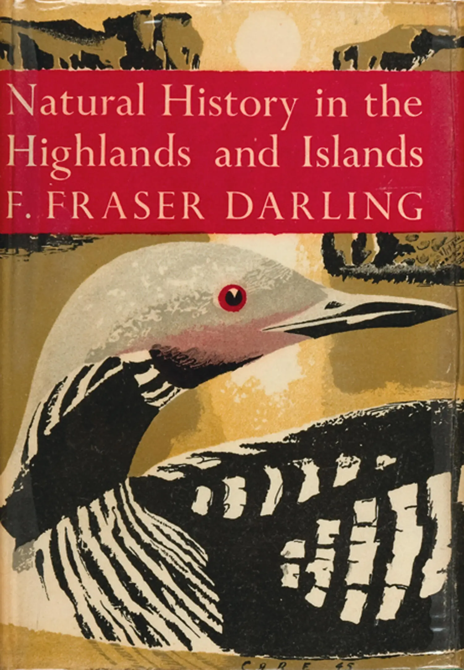
F. Darling - Natural History in the Highlands and Islands
Здесь есть возможность читать онлайн «F. Darling - Natural History in the Highlands and Islands» — ознакомительный отрывок электронной книги совершенно бесплатно, а после прочтения отрывка купить полную версию. В некоторых случаях можно слушать аудио, скачать через торрент в формате fb2 и присутствует краткое содержание. Жанр: unrecognised, на английском языке. Описание произведения, (предисловие) а так же отзывы посетителей доступны на портале библиотеки ЛибКат.
- Название:Natural History in the Highlands and Islands
- Автор:
- Жанр:
- Год:неизвестен
- ISBN:нет данных
- Рейтинг книги:3 / 5. Голосов: 1
-
Избранное:Добавить в избранное
- Отзывы:
-
Ваша оценка:
Natural History in the Highlands and Islands: краткое содержание, описание и аннотация
Предлагаем к чтению аннотацию, описание, краткое содержание или предисловие (зависит от того, что написал сам автор книги «Natural History in the Highlands and Islands»). Если вы не нашли необходимую информацию о книге — напишите в комментариях, мы постараемся отыскать её.
Natural History in the Highlands and Islands — читать онлайн ознакомительный отрывок
Ниже представлен текст книги, разбитый по страницам. Система сохранения места последней прочитанной страницы, позволяет с удобством читать онлайн бесплатно книгу «Natural History in the Highlands and Islands», без необходимости каждый раз заново искать на чём Вы остановились. Поставьте закладку, и сможете в любой момент перейти на страницу, на которой закончили чтение.
Интервал:
Закладка:
West of the road, in the upper Spey Valley region and south of Loch Laggan, the hills become sharper and more shapely and there is a good deal of natural birch, among which are many stands of coniferous timber which in no way spoil the landscape. The Spey and the Truim join above Newtonmore, and from there until the Spey leaves the central zone, the straths and the slopes to over 1,250 feet hold large stands of planted coniferous timbers. There is still plenty of natural birch and juniper scrub as far as Aviemore and beyond. We are in a very beautiful area which is one of the most popular holiday resorts in Scotland for those who like quiet, a mixture of woodland and high hill and a sharp healthy climate of low summer rainfall. At Aviemore the Valley of the Spey widens, and if the observer climbs the wooded hillock of Craigellachie south-west of the village, he will see the old Scots pine forests of Rothiemurchus (Plate 16) and Glenmore as the floor of a great basin formed by the Cairngorms and the little range of hills to the north which culminates in Meall a’ Bhuachaille, 2,654 feet. Loch Morlich (Plate 2) lies in the middle of the basin and its bright sandy shores at the eastern end are visible. The dark green of the timber stretches through the pass or bealach at the foot of Meall a’ Bhuachaille into the Forest of Abernethy (Plate 17). The old trees have suffered more heavily here and have been replaced by plantations of Scots pine, but Abernethy is still beautiful and the birch and juniper take away the grim formality of the solid stands of planted timber.
The Cairngorms, which form the heart and the most extreme alpine conditions of our central zone, are fairly easily reached from Aviemore by means of the track and the pass known as the Lairig Ghru. The Lairig splits the granite massif of the Cairngorms into two halves at a height of 2,750 feet, and is the most spectacular part of the Cairngorms seen from Aviemore or farther west of the Spey. Ben Macdhui, 4,296 feet (Plate 20), is on the east side and Braeriach and Cairntoul on the west side of the pass. The summit of the Lairig is also the county boundary between Inverness-shire and Aberdeenshire. Just south of the summit are the very small lochans known as the Pools of Dee. The water is extremely clear and probably originates from springs. This is the source of the Dee which in twelve miles becomes a considerable river at the Chest of Dee. By time the Linn of Dee is reached (the uppermost limit of salmon in the river) we are into forest again, mostly planted Scots pine until we get below Braemar, where Ballochbuie still holds a fine show of the old pines. These are part of the Royal property at Balmoral.
The Grampian Hills south of the Cairngorms give a sense of vastness. Ben Iurtharn, 3,424 feet; Glas Thulachan, 3,445 feet; and the tops of Beinn a’ Ghlo, 3,671 feet; all these and many another 3,000-footer can be easily climbed on a pony, and once on those clean, smooth summits the pony can be let out to a gallop, so different are they from the sharp peaks, the broken ground and the boggy approaches to the high hills of the West. This country is remote from everywhere and since, once there, it is difficult to get lower than 1,500 feet, there is a great exhilaration in movement through these hills. The snow lies long up here but in summer there is a wealth of excellent grazing for deer, sheep and cattle. I have found patches of beautiful brown soil as high as 1,800 feet. One of the best routes into the Cairngorms is up Glen Tilt from Blair Atholl, past the Falls of Tarf. It is a long and arduous defile or U-shaped glacial valley for most of the way until the Bynack Shieling is reached at 1,500 feet. After that there is the sense of height and space, and the high hills of the Cairngorms lie ahead in a much more picturesque group than when seen from the west. This time it is the noble Glen Dee which splits the massif rather than the sharp nick of the Lairig Ghru. Trees are few up here, though the narrow dens which cut down to the Tarf from Fealar and round about have plenty of small birches, and curiously enough there are a few well-grown spruces at the Bynack Shieling; out of which spruces one day I frightened a capercaillie (Plate XIc). He must have come out of the wooded area of the Dee below Derry Lodge, where this bird is relatively common. The Forest of Mar was one of the places where the caper was reintroduced (unsuccessfully) in the early 19th century.
THE NORTHERN HIGHLANDS, A ZONE OF SUB-ARCTIC AFFINITIES
The northern end of Drum Albyn and its coasts becomes definitely a harder country north of Loch Carron than the West Highland Atlantic zone. The large island of Skye, set athwart the Minch, has an undoubted effect of checking the flow of warm water of the North Atlantic Drift. The coasts of the North-West have several long sea lochs, but the coast as a whole is tighter-knit than the islands and coasts of the Atlantic zone which fans out from the Firth of Lorne into the Atlantic Ocean.
The rocks of the northern zone on the western side are mostly very hard, and poor in such minerals as make good soil; they are Lewisian gneiss, Torridonian sandstone and quartzite; these three have little either of calcium or of fine particles which will become clay and contribute to the soil picture. Furthermore, where the bed rock itself is not showing through (and often it is over 50 per cent of the landscape) the ground is covered with peat which has no bottom of shell sand or clay which, on disintegration or removal of the peat, might become productive soil. Sand dunes occur on the coast at only a few places such as Gairloch, Gruinard Bay, Achnahaird on the north coast of the Coigach peninsula, across Rhu Stoer and at Achmelvich, and at Sandwood Bay a few miles south of Cape Wrath. None of these are of shell sand.
It is a hard, rocky coast to which a multitude of short, rapid rivers run from Drum Albyn—the Laxford from Loch Stack and Loch Mor into Loch Laxford; the Inver from Loch Assynt into Enard Bay; the Kirkaig out of the lochs below Suilven; the Polly, the Kannaird, the Broom and the Dundonnell Rivers; the superb Gruinard River which is only six miles long on its run from Loch na Sheallag; the Little Gruinard, even shorter, coming from the Fionn Loch which is one of the most famous trout lochs in the North; and the River Ewe, only two miles long after it leaves Loch Maree, but very broad; the Kerry River running into Gairloch, famed for its pearls; and the Applecross River which drains much of the peninsula of that name. Most of these rivers are noted for salmon and sea trout, though some are curiously poor. As things stand at the moment the rivers of this region, so variable in their flow from day to day, make up in economic value for the poverty of the land for agricultural and pastoral purposes and for general lack of timber.
The boreal or sub-arctic affinities of the northern zone are most marked on the two geological formations already named, the gneiss and the sandstone. Each rock has its very distinctive form and each contributes to what is probably the wildest scenery in Scotland except for the small area of the Cuillin Hills of Skye (Plate IIIa). But here in the interplay of gneiss, sandstone and quartzite the naturalist may walk for a week or more and see no human habitation other than an occasional stalker’s cottage. So rough and wild is the country that habitations unconnected with sport are difficult to find away from the sea’s edge. The outcrop of limestone in the Assynt district allows the exception of the crofting townships of Elphin and Cnockan to which allusion was made in the first chapter.
The Lewisian gneiss of the mainland rises to greater heights in the general run of the country than it does in the Hebrides, except in Harris and at one place in South Uist. Also, it is not hidden under such a blanket of peat as in Lewis. The gneiss country of Sutherland and Ross is one of a myriad little hills of great steepness, with little glens running hither and thither among them. The lochans are seemingly countless and most of them have a floor of peat. The gneiss hills themselves are like rock buns, looking as if they had risen in some giant oven and set into their rough shapes. This ground holds up the water in pockets in the rock and allows the formation of cotton sedge bogs and such very shallow lochans as grow water lobelia and water lilies. When these lochans are near the sea and grow reeds the bird life is rich. Greenshanks (Plate XIIb) are common in the gneiss country—say one pair to 3,000 acres, which is quite twice as many as may be found on the adjoining Torridonian sandstone. Heather ( Calluna ) is not common on the gneiss; the complex is one of dwarf willow, sedge and poor grasses. Also, this type of vegetation does not appreciably alter in the altitudinal range of the gneiss. For example, I could find no major difference in sample patches in the Gruinard Forest at the foot of Carn nam Buailtean at 600 feet, and at the top of Creag Mheall Mor in the Fisherfield Forest at over 2,000 feet. The hills maintain over all their mottled pattern of green and grey, and when the snow is on the tops there is never the distinctive line at about 1,750 feet which is commonly seen on the Torridonian formation.
Читать дальшеИнтервал:
Закладка:
Похожие книги на «Natural History in the Highlands and Islands»
Представляем Вашему вниманию похожие книги на «Natural History in the Highlands and Islands» списком для выбора. Мы отобрали схожую по названию и смыслу литературу в надежде предоставить читателям больше вариантов отыскать новые, интересные, ещё непрочитанные произведения.


Обсуждение, отзывы о книге «Natural History in the Highlands and Islands» и просто собственные мнения читателей. Оставьте ваши комментарии, напишите, что Вы думаете о произведении, его смысле или главных героях. Укажите что конкретно понравилось, а что нет, и почему Вы так считаете.