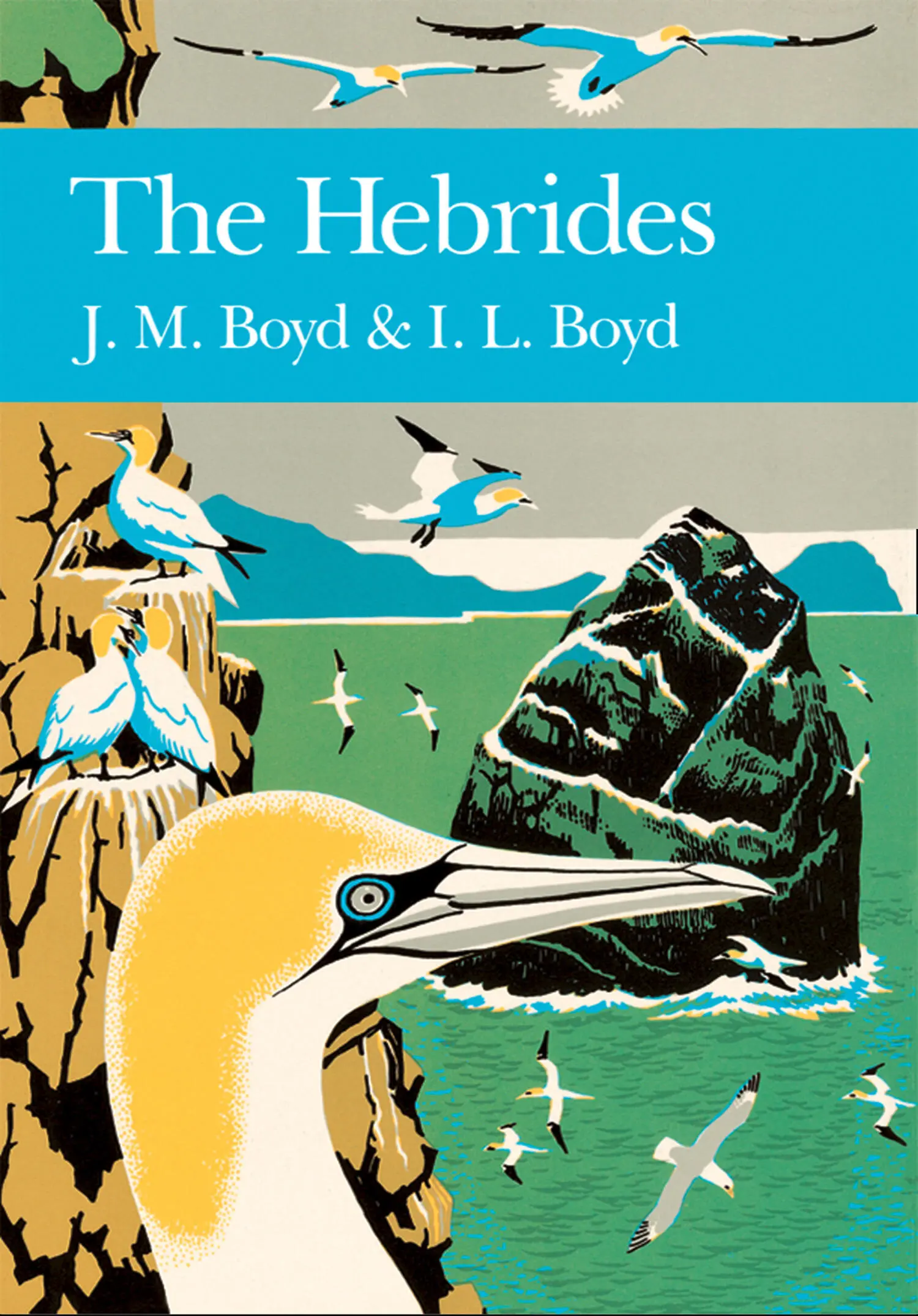
J. M. Boyd - The Hebrides
Здесь есть возможность читать онлайн «J. M. Boyd - The Hebrides» — ознакомительный отрывок электронной книги совершенно бесплатно, а после прочтения отрывка купить полную версию. В некоторых случаях можно слушать аудио, скачать через торрент в формате fb2 и присутствует краткое содержание. Жанр: unrecognised, на английском языке. Описание произведения, (предисловие) а так же отзывы посетителей доступны на портале библиотеки ЛибКат.
- Название:The Hebrides
- Автор:
- Жанр:
- Год:неизвестен
- ISBN:нет данных
- Рейтинг книги:5 / 5. Голосов: 1
-
Избранное:Добавить в избранное
- Отзывы:
-
Ваша оценка:
The Hebrides: краткое содержание, описание и аннотация
Предлагаем к чтению аннотацию, описание, краткое содержание или предисловие (зависит от того, что написал сам автор книги «The Hebrides»). Если вы не нашли необходимую информацию о книге — напишите в комментариях, мы постараемся отыскать её.
The Hebrides — читать онлайн ознакомительный отрывок
Ниже представлен текст книги, разбитый по страницам. Система сохранения места последней прочитанной страницы, позволяет с удобством читать онлайн бесплатно книгу «The Hebrides», без необходимости каждый раз заново искать на чём Вы остановились. Поставьте закладку, и сможете в любой момент перейти на страницу, на которой закончили чтение.
Интервал:
Закладка:
The enormous explosive forces of these volcanoes resulted in the cracking and fissuring of the crust. The geological map shows Skye, Mull and Arran like the points of strike of bullets on a pane of glass, with the systems of cracks running roughly north-west to south-east. The cracks range from a hair’s breath to over 30m thick and they have been filled with dark dolerite and basalt dykes (vertical) and sills (inclined). The swarms of Tertiary dykes from Skye, Mull and Arran traverse the crust from Lewis to Loch Linnhe, from Coll to Yorkshire and from Colonsay to Ayrshire respectively. The Inner Hebrides are riven with basalt and dolerite dykes which are usually 1–5m thick. These often become hard ridges among softer rocks like those in the Jurassic limestones on the shores and cliffs of Eigg, and trenches in harder rocks such as the gneiss on the shores of Tiree and Coll. The Camus Mor dyke on Muck is a striking example, which slices through the limestones and lavas and has a broad vertical exposure on the sea-cliff. Sills often occur in the bedding planes between lava-flows and sedimentary rocks and, like the lava, have columnar jointing. There are good examples of sill complexes to be seen in northern Skye and the Shiant Islands and, being composed of a hard coarse-grained dolerite, they often form a break of slope or escarpment edge in the basalt country. They play an important part in the composition of the landscapes of Raasay, Skye, and Mull.
The earthquakes which accompanied these episodes of cracking and fissuring must have been enormous, certainly greater than any that happen in the world today. Another type of circular Assuring occurs as a result of great crustal explosions within the roots of the volcanoes, which split the existing igneous complex in a nest of conical cracks several kilometres in diameter at the present land surface. Sometimes they are several metres wide and are filled with basalts and dolerites—these are called cone-sheets. All the Tertiary centres possess them, and they are exceptionally well displayed on the Oiseval and Conachair cliffs at St Kilda and at Gribum in Mull.
Quaternary Features
In the last 18,000 years Scotland has endured a glaciation, and a period of emergence from the ice and the recovery of life. In the Devensian period between 18,000 and 11,000 years BP, the ice-age gradually declined leaving an arctic habitat with receding valley glaciers and seasonally exposed land and sea surfaces. The effect of the ice on the land was enormous, gouging and planing the uplands and depositing the detritus on an array of downstream surfaces ranging from large boulders to fine muds. About 13,000 BP, the summer temperatures must have been about 15°C, judging from the insect remains recovered from contemporary sediments, which, in Skye, also contain the pollen of birch, hazel, grasses, sedges, clubmosses, sorrel and others (Birks and Williams, 1983). By 12,000 BP, however, the insect evidence suggests a drop in summer temperature to 3°C, and there was a re-establishment of glaciation between 11,000 and 10,000 years BP. This is thought to have been caused by a sweep of polar water southward along the west coast, based on evidence of arctic Foraminifera and dinoflagellate remains in contemporary marine sediments off Colonsay. The main ice accumulation was in the West Highlands from Wester Ross to Loch Lomond and the episode is known as the Loch Lomond Readvance (LLR). It had a limited effect in the Hebrides, creating scree slopes on the mountains of Mull, Rum and Skye.
The disintegration of the ice sheets and the disappearance of the valley glaciers in the islands brought to light a great number of glacial and fluvio-glacial features; landslips, raised beaches, and accumulations of shell sand, dolomite, and peat. The end of the permafrost brought with it the collapse of many escarpments and cliffs and the shattering of rock-faces, resulting in a range of postglacial sheets of scree and stoneshoots, in which the islands abound and which are particularly well developed in the Cuillins of Skye. Landslips on a vast scale occurred at the Storr and Quirang in Skye, and below the northern ridge of Eigg. Fields of giant boulders were created—some as large as a house, with a cap of soil and vegetation, as in upper Guirdil in Rum. Solifluction terracettes and stone polygons related to the LLR are present on the summits of Mull and Rum.
The relationship of the wave-cut benches along the coasts and raised beaches to the glacial structures is not fully understood. The changes in sea level which accompanied the disappearance of the ice during the Quaternary period, resulted from two related factors—the melting of a great part of the polar ice caps which served to raise the sea level, and the isostatic raising of the land released from the superincumbent load of the ice sheet. The interplay of the two factors and the reworking of coastal and marine deposits by the sea at different levels is highly complex. The heights above present sea level of the raised beaches in the Hebrides are grouped around 8m and 30m, and on the west coast of Jura these two levels are well developed in the same system. Enormous drifts of even-sized quartzite pebbles are placed in steps above the waters of Loch Tarbert. J.B. Sissons (1983) has reviewed the Quaternary in Scotland and J.D. Peacock (1983) has given a useful summary account of it in the Inner Hebrides. Recent (Holocene) sediments and sedimentation, which include the dominant formations of shell sand and peat mentioned in later chapters of this book, are summarised by G.E. Farrow (1983).
The rocks of the Hebrides have therefore a dramatic story to tell. Those who have an eye for country can read the geology of the islands from their architecture, often at a great distance. The shape of the granite and quartzite hills is distinct from the gabbro, and both are distinct from the basalt. In Skye the granites of the Red Cuillin are cheek-by-jowl with the gabbros of the Black Cuillin; the former are smooth paps and the latter are a jumble of serrated peaks and ridges. The same is seen at St Kilda; viewed from North Uist on a clear day, the smooth granite cones of Conachair and Oiseval are flanked by the peaked gabbro of Dun, Mullach Bi and Boreray. The basalt islands, of which Canna, western Mull and northern Skye are typical, have stepped landscapes with beetling, horizontal scarps, terraces, tablelands, and galleried sea-cliffs several hundred metres high—the eroded basalt gives the Treshnish Isles the look of a fleet of dreadnoughts. The ecological effects of the country rocks is usually masked by wind-blown sand, a blanket of peat, or by agricultural improvement. However, the greenery of hill and wood in Raasay, Strath and Ord in Skye, Gribun and Loch Don in Mull, Lismore and around Ballygrant in Islay strongly suggests the presence of limestone.
Конец ознакомительного фрагмента.
Текст предоставлен ООО «ЛитРес».
Прочитайте эту книгу целиком, на ЛитРес.
Безопасно оплатить книгу можно банковской картой Visa, MasterCard, Maestro, со счета мобильного телефона, с платежного терминала, в салоне МТС или Связной, через PayPal, WebMoney, Яндекс.Деньги, QIWI Кошелек, бонусными картами или другим удобным Вам способом.
Интервал:
Закладка:
Похожие книги на «The Hebrides»
Представляем Вашему вниманию похожие книги на «The Hebrides» списком для выбора. Мы отобрали схожую по названию и смыслу литературу в надежде предоставить читателям больше вариантов отыскать новые, интересные, ещё непрочитанные произведения.


Обсуждение, отзывы о книге «The Hebrides» и просто собственные мнения читателей. Оставьте ваши комментарии, напишите, что Вы думаете о произведении, его смысле или главных героях. Укажите что конкретно понравилось, а что нет, и почему Вы так считаете.