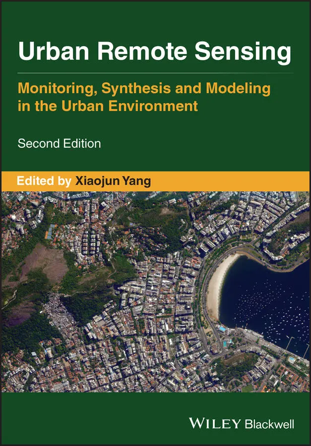
Urban Remote Sensing
Здесь есть возможность читать онлайн «Urban Remote Sensing» — ознакомительный отрывок электронной книги совершенно бесплатно, а после прочтения отрывка купить полную версию. В некоторых случаях можно слушать аудио, скачать через торрент в формате fb2 и присутствует краткое содержание. Жанр: unrecognised, на английском языке. Описание произведения, (предисловие) а так же отзывы посетителей доступны на портале библиотеки ЛибКат.
- Название:Urban Remote Sensing
- Автор:
- Жанр:
- Год:неизвестен
- ISBN:нет данных
- Рейтинг книги:4 / 5. Голосов: 1
-
Избранное:Добавить в избранное
- Отзывы:
-
Ваша оценка:
Urban Remote Sensing: краткое содержание, описание и аннотация
Предлагаем к чтению аннотацию, описание, краткое содержание или предисловие (зависит от того, что написал сам автор книги «Urban Remote Sensing»). Если вы не нашли необходимую информацию о книге — напишите в комментариях, мы постараемся отыскать её.
is a state-of-the-art review of the latest progress in the subject. The text examines how evolving innovations in remote sensing allow to deliver the critical information on cities in a timely and cost-effective way to support various urban management activities and the scientific research on urban morphology, socio-environmental dynamics, and sustainability.
Chapters are written by leading scholars from a variety of disciplines including remote sensing, GIS, geography, urban planning, environmental science, and sustainability science, with case studies predominately drawn from North America and Europe.
A review of the essential and emerging research areas in urban remote sensing including sensors, techniques, and applications, especially some critical issues that are shifting the directions in urban remote sensing research. Illustrated in full color throughout, including numerous relevant case studies and extensive discussions of important concepts and cutting-edge technologies to enable clearer understanding for non-technical audiences.
will be of particular interest to upper-division undergraduate and graduate students, researchers and professionals working in the fields of remote sensing, geospatial information, and urban & environmental planning.
Urban Remote Sensing — читать онлайн ознакомительный отрывок
Ниже представлен текст книги, разбитый по страницам. Система сохранения места последней прочитанной страницы, позволяет с удобством читать онлайн бесплатно книгу «Urban Remote Sensing», без необходимости каждый раз заново искать на чём Вы остановились. Поставьте закладку, и сможете в любой момент перейти на страницу, на которой закончили чтение.
Интервал:
Закладка:
Man S. WongDepartment of Land Surveying and Geo‐Informatics, The Hong Kong Polytechnic University, Kowloon, Hong Kong, China Email: lswong@polyu.edu.hk
Zhifeng WuSchool of Geography and Remote Sensing, Guangzhou University, Guangzhou, China E‐mail: zfwu@gzhu.edu.cn
Yong XuSchool of Geography and Remote Sensing, Guangzhou University, Guangzhou, China E‐mail: xu1129@gzhu.edu.cn
Jinxin YangSchool of Geography and Remote Sensing, Guangzhou University, Guangzhou, China E‐mail: yangjx11@gzhu.edu.cn
Kai‐Ling YangDepartment of Geography, National Taiwan University, Taipei, Taiwan E‐mail: linda30536@gmail.com
Xiaojun YangDepartment of Geography, College of Social Sciences and Public Policy, Florida State University ,Tallahassee, FL, USA E‐mail: xyang@fsu.edu
Dameng YinInstitute of Crop Sciences, Chinese Academy of Agricultural Sciences/Key Laboratory of Crop Physiology and Ecology, Ministry of Agriculture, Beijing, China
Junjun YinSocial Science Research Institute, Pennsylvania State University, University Park, PA, USA E‐mail: jyin@psu.edu
Yihong YuanDepartment of Geography, Texas State University, San Marcos, TX, USA E‐mail: yuan@txstate.edu
Naizhuo ZhaoDivision of Clinical Epidemiology, McGill University Health Centre, Montreal, QC, Canada E‐mail: naizhuo.zhao@mail.mcgill.ca
Fan ZhangInstitute of Remote Sensing and Geographical Information Systems, School of Earth and Space Sciences, Peking University, Beijing, China Senseable City Laboratory, Massachusetts Institute of Technology, Cambridge, MA, USA E‐mail: zhangfan@mit.edu
Authors Biography
Sawaid AbbasSawaid Abbas is a Postdoctoral Fellow at the Department of Land Surveying and Geo‐informatics in the Hong Kong Polytechnic University. His research interests include integrative analysis of remote sensing, landscape ecology, urban ecology, urban microclimate simulation, and monitoring of vegetation response to extreme climate events.
Shlomo (Solly) AngelShlomo (Solly) Angel is a Professor of City Planning and the Director of the Urban Expansion Program at the Marron Institute of Urban Management at New York University, USA. He is the author of Planet of Cities (2012) and Housing Policy Matters (2000), the leading author of the Atlas of Urban Expansion (2016 Edition), and a coauthor of A Pattern Language (1977). Since 2012, he has led teams assisting intermediate cities in Colombia and Ethiopia in preparing for their rapid expansion. Dr. Angel holds an architecture degree and a doctorate in City and Regional Planning from the University of California at Berkeley.
Yifang BanYifang Ban is a Professor and Director of Geoinformatics Division at KTH Royal Institute of Technology in Stockholm, Sweden. Before joining KTH, Dr. Ban was a Tenured Associate Professor at York University in Toronto, Canada. She received a PhD from the University of Waterloo, Canada. Her research has focused on multitemporal multisensor remote sensing, EO big data analytics, and their applications in urban mapping, environmental change monitoring, and environmental impact analysis, among others. She has published extensively on these topics. She is a colead of the GEO initiative “Global Urban Observation and Information,” and a Co‐Chair for the Commission on Sensor‐Driven Mapping, International Cartographic Association.
Thomas BlaschkeThomas Blaschke is a Professor of Geoinformatics at the University of Salzburg, Austria. His research interest centers on integrating methods and domain knowledge into spatial analysis and GIS‐based spatial decision support systems. Technically, Dr. Blaschke contributes to bridging object‐based image analysis and Geographic Information Science (GIScience).
Alejandro BleiAlejandro Blei is a Research Scholar in the Urban Expansion Program at the Marron Institute of Urban Management at New York University, USA. His research interests include global urban settlement mapping and the spatial structure of U.S. metropolitan areas. He was a research coordinator and coauthor of the Atlas of Urban Expansion .
Rostyslav BunRostyslav Bun is a Professor of Applied Mathematics at the Lviv Polytechnic National University, Lviv, Ukraine, and a Professor of Computer Science at the WSB University, Dąbrowa Górnicza, Poland. His research interest centers on modeling greenhouse gas emissions and geographic information systems. He is the author of 7 books and 300 papers. He was a Guest Editor of special issues of Climatic Change and Mitigation and Adaptation Strategies for Global Change, which were dedicated to the uncertainty in greenhouse gas inventory estimates.
Austin BushAustin Bush is a field researcher for the Emergency Management and Homeland Security (EMHS) program at the Florida State University. He is also a doctoral student in the Department of Geography at FSU. His research interests focus on geographic information science, remote sensing, unmanned aircraft systems, and the integration of these technologies into emergency management in the United States.
Frank CantersFrank Canters is a Professor of remote sensing and geo‐information science in the Department of Geography at the Vrije Universiteit Brussel (VUB), Belgium. He is also a Guest Professor at Ghent University and at Katholieke Universiteit (KU) Leuven. Dr. Canters’ research focuses on remote sensing of urban areas, urban imaging spectroscopy, monitoring and modeling of urban dynamics, and on the role of urban form/function and urban green spaces in ecosystem service provision. Developing methods to extract information from remotely sensed data that is useful for local and regional decision making is an important concern in much of the work done by his team.
Guofeng CaoGuofeng Cao is an Assistant Professor in the Department of Geography at the University of Colorado Boulder, USA. His research is characterized by an interdisciplinary perspective on geographic information science driven by advances of spatial Big Data (e.g. social media and remote sensing), machine learning and artificial intelligence, and computational sciences. His research has been supported by different funding agencies. He has published over 60 peer‐reviewed papers and chapters. He received a PhD in Geography from the University of California, Santa Barbara.
Srija ChakrabortySrija Chakraborty is a NASA Postdoctoral Program Fellow at the Goddard Space Flight Center and Universities Space Research Association. She received her PhD in Computer Engineering at the Arizona State University with a focus on multitemporal analysis, and anomaly and novelty detection for monitoring and interpreting remote sensing observations. Her research interests center on ground‐based and onboard machine learning and statistical signal processing applications in Earth and Planetary Sciences.
Tzu‐Hsin Karen ChenTzu‐Hsin Karen Chen is a PhD candidate majoring in Environmental Science at the Aarhus University, Denmark. Her research promotes a synergy of machine learning, remote sensing, and human–environment relations. Currently, she is investigating how urban form influences mental health through rural–urban migration. Her research has been published in Remote Sensing of Environment and Applied Geography . She served as a reviewer for several international journals.
Wendy Y. ChenWendy Y. Chen is an Associate Professor at the Department of Geography, the University of Hong Kong (UHK). She also serves as the Director of the International Centre for China Development Studies, UHK. She is the Editor‐in‐Chief for Urban Forestry & Urban Greening , the top international journal in the field of urban forestry. Dr. Chen combines expertise in environmental science and economics to address the quantification of ecosystem services and economic valuation of nonmarket environmental goods as well as interactions between economic development and the environment. She has led several national and international research projects and published over 50 papers in peer‐refereed journals.
Читать дальшеИнтервал:
Закладка:
Похожие книги на «Urban Remote Sensing»
Представляем Вашему вниманию похожие книги на «Urban Remote Sensing» списком для выбора. Мы отобрали схожую по названию и смыслу литературу в надежде предоставить читателям больше вариантов отыскать новые, интересные, ещё непрочитанные произведения.


Обсуждение, отзывы о книге «Urban Remote Sensing» и просто собственные мнения читателей. Оставьте ваши комментарии, напишите, что Вы думаете о произведении, его смысле или главных героях. Укажите что конкретно понравилось, а что нет, и почему Вы так считаете.