Sir John Richardson - Arctic Searching Expedition (Sir John Richardson) - comprehensive & illustrated - (Literary Thoughts Edition)
Здесь есть возможность читать онлайн «Sir John Richardson - Arctic Searching Expedition (Sir John Richardson) - comprehensive & illustrated - (Literary Thoughts Edition)» — ознакомительный отрывок электронной книги совершенно бесплатно, а после прочтения отрывка купить полную версию. В некоторых случаях можно слушать аудио, скачать через торрент в формате fb2 и присутствует краткое содержание. Жанр: unrecognised, на английском языке. Описание произведения, (предисловие) а так же отзывы посетителей доступны на портале библиотеки ЛибКат.
- Название:Arctic Searching Expedition (Sir John Richardson) - comprehensive & illustrated - (Literary Thoughts Edition)
- Автор:
- Жанр:
- Год:неизвестен
- ISBN:нет данных
- Рейтинг книги:4 / 5. Голосов: 1
-
Избранное:Добавить в избранное
- Отзывы:
-
Ваша оценка:
Arctic Searching Expedition (Sir John Richardson) - comprehensive & illustrated - (Literary Thoughts Edition): краткое содержание, описание и аннотация
Предлагаем к чтению аннотацию, описание, краткое содержание или предисловие (зависит от того, что написал сам автор книги «Arctic Searching Expedition (Sir John Richardson) - comprehensive & illustrated - (Literary Thoughts Edition)»). Если вы не нашли необходимую информацию о книге — напишите в комментариях, мы постараемся отыскать её.
presents
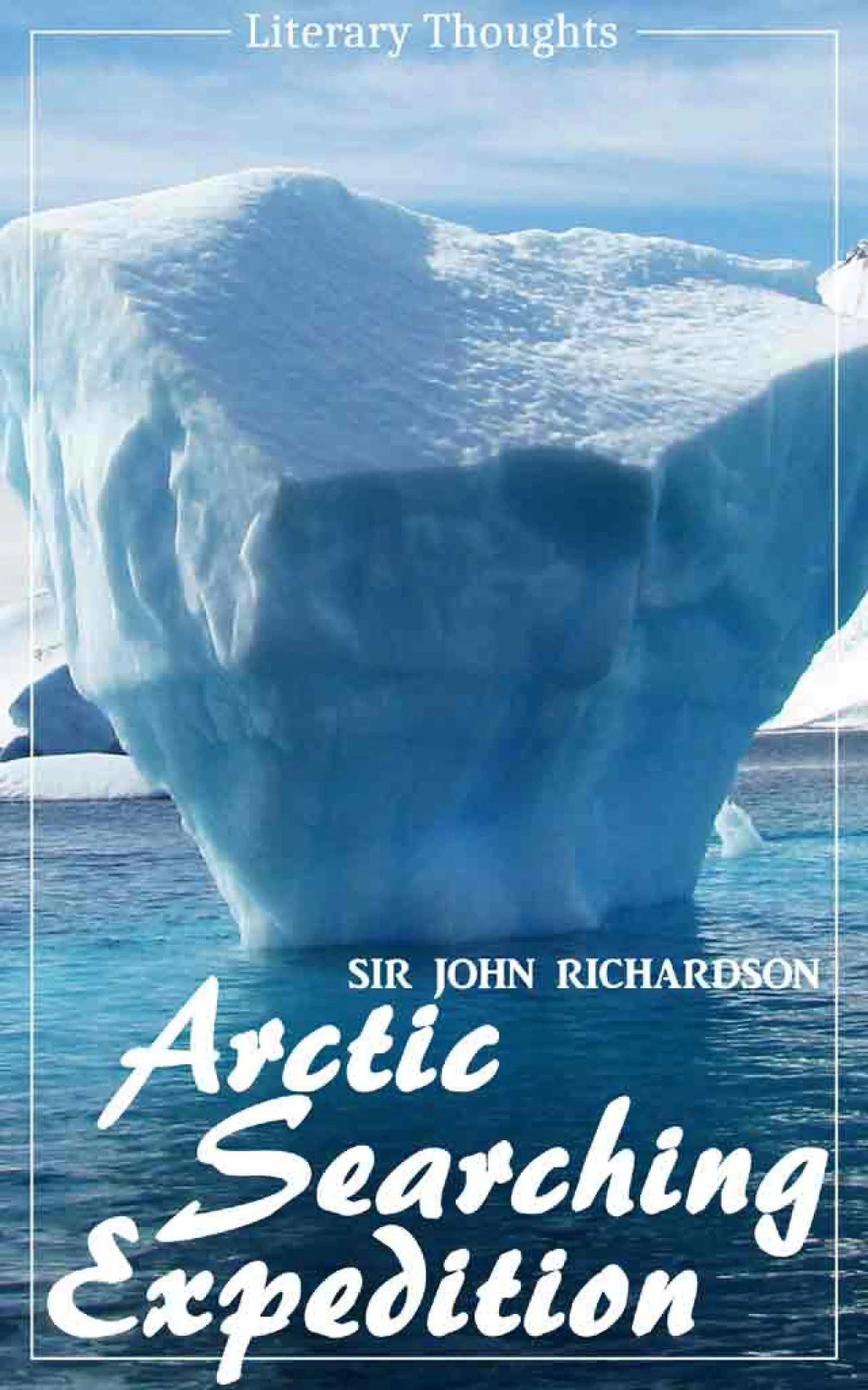
Arctic Searching Expedition
by Sir John Richardson
–
Now for the first time available as one single ebook, the «Arctic Searching Expedition» was originally published in 1851 by surgeon, naturalist and Arctic explorer Sir John Richardson (1787–1865) and is a journal of a boat-voyage through Rupert's Land and the Arctic Sea, in search of the discovery ships under command of Sir John Franklin. The story charts the journey which would inevitably fail in its ambition: Franklin, unknown to Richardson, had already died in June 1847. Volume 1 depicts the journey to Fort Confidence in the Canadian Arctic, ending with detailed descriptions of the aboriginal Inuit and Gwich'in peoples encountered, whereas volume 2 begins with detailed descriptions of the Chipewyan and Cree peoples.
All books of the Literary Thoughts edition have been transscribed from original prints and edited for better reading experience.
Please visit our homepage literarythoughts.com to see our other publications.
Arctic Searching Expedition (Sir John Richardson) - comprehensive & illustrated - (Literary Thoughts Edition) — читать онлайн ознакомительный отрывок
Ниже представлен текст книги, разбитый по страницам. Система сохранения места последней прочитанной страницы, позволяет с удобством читать онлайн бесплатно книгу «Arctic Searching Expedition (Sir John Richardson) - comprehensive & illustrated - (Literary Thoughts Edition)», без необходимости каждый раз заново искать на чём Вы остановились. Поставьте закладку, и сможете в любой момент перейти на страницу, на которой закончили чтение.
Интервал:
Закладка:
Considerable sheets of water are also cut off on the north-west side of the lake, where the bird's-eye limestone forms the whole of the coast. Very recently this corner was deeply indented by narrow, branching bays, whose outer points were limestone cliffs. Under the action of frost, the thin horizontal beds of this stone split up, crevices are formed perpendicularly, large blocks are detached, and the cliff is rapidly overthrown, soon becoming masked by its own ruins. In a season or two the slabs break into small fragments, which are tossed up by the waves across the neck of the bay into the form of narrow ridge-like beaches, from twenty to thirty feet high. Mud and vegetable matter gradually fill up the pieces of water thus secluded; a willow swamp is formed; and when the ground is somewhat consolidated, the willows are replaced by a grove of aspens. Near the First and Second Rocky Points, the various stages of this process may be inspected, from the rich alluvial flat covered with trees and bounded by cliffs that once overhung the water, to the pond recently cut off by a naked barrier of limestone, pebbles, and slabs, discharging its spring floods into the lake, by a narrow though rapid stream. In some exposed places the pressure of the ice, or power of the waves in heavy gales, has forced the limestone fragments into the woods, and heaped them round the stems of trees, some of which are dying a lingering death; while others, that have been dead for many years, testify to their former vitality, and the mode in which they have perished, by their upright stems, crowned by the decorticated and lichen-covered branches which protrude from the stony bank. The analogy between the entombment of living trees, in their erect position, to the stems of sigillariæ, which rise through different layers in the coal-measures, is obvious.
The action of the ice in pushing boulders into the woods was observed at an earlier period of our voyage, and is noticed in the following terms in my journal. "In the first part of our course through Rainy Lake we followed a rocky channel, which was in many places shallow, and varied in breadth from a mile, down to a few yards. Some long arms stretch out to the right and left of the route, and particularly one to the eastward, into which a fork of Sturgeon River is said to enter. There is considerable current in these narrows. The first expanse of water we traversed is six miles across, and the second is fully wider. They are connected by a rocky channel, on whose shores many boulders are curiously piled up eight or ten feet above the rocks on which they rest. Other boulders lie in lines among the trees near the shore. They have been thrust up, many of them very recently, by the pressure of the ice, since the channel is too narrow for the wind to raise waves powerful enough to move such stones."
The granite and gneiss which form the east shore of Lake Winipeg strike off at its north-east corner, and, passing to the north of Moose Lake, go on to Beaver Lake, where the canoe-route again touches upon them. At some distance to the westward of them the Saskatchewan, which is the principal feeder of Lake Winipeg, flows through a flat limestone country, which is full of lakes, the reticulating branches of the river, and mud-banks: it has in fact all the characters of a delta, though the divisions of the stream unite into one channel before entering the lake. This flat district extends nearly to the forks of the river, above which the prairie lands commence. Pine Island Lake, Muddy Lake, Cross Lake, and Cedar Lake, where the boats were arrested by ice in 1848, are dilatations of the Saskatchewan, and when the water rises a very few feet, the whole district is flooded; which commonly occurs on the snow melting in spring. Some way to the south lies an eminence of considerable height, named by the Crees Wapŭs-këow-watchi, and by the Canadians Basquiau. It separates Winepegoos Lake, and Red-Deer Lake and River from the bed of the Saskatchewan. I am ignorant of its geological structure, not having visited it.
With respect to the forests: The white or sweet cedar (Cupressus thyoides) disappears on the south side of Rainy Lake, within the American boundary line. The Weymouth pine, various maples, cockspur thorns, and the fern-leaved Comptonia, reach the southern slope of the Winipeg basin. Oaks extend to the islands and narrows of that lake. The elm, ash, arbor vitæ, and ash-leaved maple terminate on the banks of the Saskatchewan. The "wild rice," or Folle avoine of the voyagers and traders, grows abundantly in the district between Lakes Superior and Winipeg. This grain resembles rice in its qualities, but has a sweeter taste. Though small, it swells much in cooking, and is nourishing, but its black husk renders it uninviting in its natural state. In favourable seasons it affords sustenance to a populous tribe of Indians, but the supply is uncertain, depending greatly on the height of the waters. In harvest time the natives row their canoes among the grass, and, bending its ears over the gunwale, thresh out the grain, which separates readily. They then lay it by for use in neatly-woven rush baskets. This grass finds its northern limit on Lake Winipeg, and it is common in the western waters of the more northern of the United States; but how far south it extends, I have not been able to learn. Strachey, in his "Historie of Travaille in Virginia," speaks of a "graine called Nattowine, which groweth as bents do in meadowes. The seeds are not much unlike rice, though much smaller; these they use for a deyntie bread, buttered with deere's suet." (p. 118.) It is possible that he may refer to a smaller species (H. fluitans) of the same genus, which is known to abound in Georgia; but the seed of that could scarcely be collected in sufficient quantity. The hop plant (Humulus lupulus) reaches the south end of Lake Winipeg, and, according to Mr. Simpson, yields flowers plentifully in the Red River colony. We observed it in the autumn of 1849 growing luxuriantly on the banks of the Kamenistikwoya, and connecting the lower branches of the trees with elegant festoons of fragrant flowers. An opinion prevailed among the traders that Lord Selkirk introduced it into this neighbourhood when he took possession of the North-west Company's post of Fort William, upwards of thirty years ago; but the plant is indigenous to America, and grows abundantly in the Raton Pass, lying on the 37th parallel, at the height of eight thousand feet above the sea, as well as in many localities of the northern States. Throughout the canoe-route from Lake Superior to Lake Winipeg, no district shows such fertility as the banks of Rainy River. In autumn, especially, the various maples, oaks, sumachs, ampelopsis, cornel bushes, and other trees and shrubs whose leaves before they fall assume glowing tints of orange and red, render the woodland views equal, if not superior, to the finest that I have seen elsewhere on the American continent, from Florida northwards. Nor are showy asters, helianthi, lophanthi, gentianeæ, physostegiæ, irides, and many other gay flowers, wanting to complete the adornment of its banks.
From Saut Ste. Marie to the Saskatchewan, and the banks of Churchill River, the native inhabitants term themselves In-ninyu-wuk or Ey-thinyu-wuk, and are members of a nation which formerly extended southwards to the Delaware. That part of this widely spread people which occupies the north side of Lake Huron, the whole border of Lake Superior, and the country between it and the south end of Lake Winipeg, call themselves Ochipewa, written also Ojibbeway, or Chippeway; and the more northerly division, who name themselves Nathè-wywithin-yu, are the Crees of the traders, and Knistenaux of French writers. In a subsequent chapter I shall speak more particularly of the place which this people hold among the aboriginal nations. At present, I wish merely to point out some of the circumstances which have tended to work out a difference in the moral character of these two tribes, essentially the same people in language and manners. The Crees have now for more than twenty-six years been under the undivided control and paternal government of the Hudson's Bay Company, and are wholly dependent on them for ammunition, European clothing, and other things which have become necessaries. No spirituous liquors are distributed to them, and schoolmasters and missionaries are encouraged and aided by the Company, to introduce among them the elements of religion and civilization. One village has been established near the depôt at Norway House, and another at the Pas on the Saskatchewan, each having a church, and school-house, and a considerable space of cultivated ground. The conduct of the people is quiet and inoffensive; war is unknown in the Cree district; and the Company's officers find little difficulty in hiring the young men as occasional labourers.
Читать дальшеИнтервал:
Закладка:
Похожие книги на «Arctic Searching Expedition (Sir John Richardson) - comprehensive & illustrated - (Literary Thoughts Edition)»
Представляем Вашему вниманию похожие книги на «Arctic Searching Expedition (Sir John Richardson) - comprehensive & illustrated - (Literary Thoughts Edition)» списком для выбора. Мы отобрали схожую по названию и смыслу литературу в надежде предоставить читателям больше вариантов отыскать новые, интересные, ещё непрочитанные произведения.


Обсуждение, отзывы о книге «Arctic Searching Expedition (Sir John Richardson) - comprehensive & illustrated - (Literary Thoughts Edition)» и просто собственные мнения читателей. Оставьте ваши комментарии, напишите, что Вы думаете о произведении, его смысле или главных героях. Укажите что конкретно понравилось, а что нет, и почему Вы так считаете.