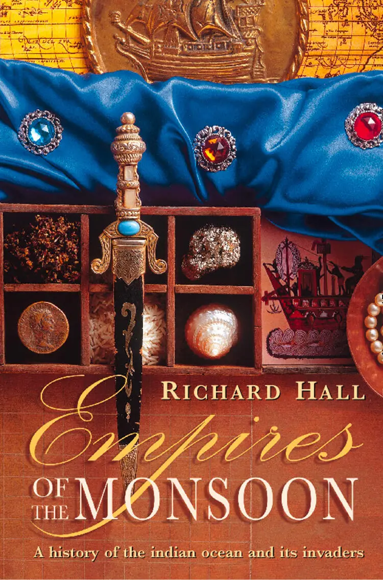
Richard Hall - Empires of the Monsoon
Здесь есть возможность читать онлайн «Richard Hall - Empires of the Monsoon» — ознакомительный отрывок электронной книги совершенно бесплатно, а после прочтения отрывка купить полную версию. В некоторых случаях можно слушать аудио, скачать через торрент в формате fb2 и присутствует краткое содержание. Жанр: unrecognised, на английском языке. Описание произведения, (предисловие) а так же отзывы посетителей доступны на портале библиотеки ЛибКат.
- Название:Empires of the Monsoon
- Автор:
- Жанр:
- Год:неизвестен
- ISBN:нет данных
- Рейтинг книги:5 / 5. Голосов: 1
-
Избранное:Добавить в избранное
- Отзывы:
-
Ваша оценка:
Empires of the Monsoon: краткое содержание, описание и аннотация
Предлагаем к чтению аннотацию, описание, краткое содержание или предисловие (зависит от того, что написал сам автор книги «Empires of the Monsoon»). Если вы не нашли необходимую информацию о книге — напишите в комментариях, мы постараемся отыскать её.
Empires of the Monsoon — читать онлайн ознакомительный отрывок
Ниже представлен текст книги, разбитый по страницам. Система сохранения места последней прочитанной страницы, позволяет с удобством читать онлайн бесплатно книгу «Empires of the Monsoon», без необходимости каждый раз заново искать на чём Вы остановились. Поставьте закладку, и сможете в любой момент перейти на страницу, на которой закончили чтение.
Интервал:
Закладка:
Viewed in historical perspective, Zheng’s seven expeditions seem a perplexing, almost irrational, phenomenon. The Indian Ocean in the fifteenth century was a trading arena of great wealth (no other region of the world had a comparable output of manufactured goods and raw materials); into this arena the Chinese intrusion had been sudden, massive and forceful. Yet just as suddenly it ended, leaving scarcely a trace behind. Indeed, there is only one known piece of tangible evidence throughout the whole of the Indian Ocean to prove that Zheng was ever there with his vast armadas and tens of thousands of men: that is the trilingual tablet set up in Ceylon in 1410. 5
The rest of the tantalizing evidence survives in China, and apart from narratives such as Ma Huan’s book and the temple pillars there is a nautical chart more than five metres long. This was compiled during the expeditions and names more than 250 places in the Indian Ocean, from Malacca to Mozambique. Although known as the Mao Kun map, it is not a map in the normal sense, but lists ports, landmarks, bays, havens and dangerous rocks along a course drawn from right to left. There is no scale, and the space devoted to various regions varies according to the data available; thus China has three times as much as Arabia and East Africa combined. The correct routes are carefully defined, giving currents, prevailing winds and depth soundings. By means of compass bearings and the positions at precise times of sun and guiding stars ( jian xing fa ) the compilers were able to show with astonishing accuracy the sea lanes of the fifteenth century.
The map was probably assembled from the records of Zheng’s commanders. 6However, there is no way of knowing from it exactly where all the flotillas sailed, or how many of them never returned. There are hints that some may have swept in a great arc through the southern seas, looking in vain for land, and that others could have followed the African coastline past Sofala. The Mao Kun map says that storms stopped fleets going beyond ‘Habuer’, which appears to be a small island south of Africa.
Momentarily, the cloak of Chinese power was spread across the world, almost touching the borders of Europe. The merchants who went as far as Cairo stimulated the demand in Europe for oriental silks and porcelains. In China itself a cosmopolitan atmosphere was created as crowds of envoys from remote countries were brought back in the treasure ships. Processions of men speaking unknown languages and wearing strange costumes were seen in the streets of Nanjing and Beijing. They brought jewels, pearls, gold and ivory, and scores of animals. The keepers of the imperial zoological gardens were much occupied with the unfamiliar tribute being offered to the Sacred Emperor.
The place to ponder on the forgotten achievements of Zheng He is Dondra in Ceylon; it is the southernmost point of the Indian subcontinent. Close by the headland is a rocky beach, where the crumbling graves of shipwrecked mariners are shaded by coconut palms. Once Dondra had a great temple for a recumbent Buddha made entirely of gold, with two great rubies as eyes, and every night 500 maidens sang and danced before it. A short distance to the west is where Zheng’s tablet in three languages was set up. When the Chinese fleets, sailing west, sighted the gilded temple roof at Dondra Head they knew it soon would be time to turn north, towards Calicut and the Arabian Sea.
From here the Indian Ocean stretches away southwards, beyond countless horizons, to the bottom of the world. South-east lies the route back to Sumatra and China; far to the south-west is Madagascar. Beyond that is the cape where Africa makes its sudden turn into a more hostile ocean, so long unconquered by ships from either East or West.
ELEVEN
The King of the African Castle
Mombaza, Quiloa and Melind,
And Sofala (thought Ophir) to the realm
Of Congo and Angola farthest south.
—John Milton, Paradise Lost , Book II
IF THE REST OF AFRICA can put forward any rivals to the pyramids of Egypt in monumental building, Great Zimbabwe must rank high among them. The grey granite outlines of this African capital, 1,200 miles south of the equator, are strewn on the edge of the high plateau between the Zambezi and Limpopo rivers; the names of the men who ruled here, 700 years ago, are long forgotten. (So is the original name of the place itself. Zimbabwe comes from the title given it by later inhabitants of the region: dzimbahwe , house of stone.) Yet even in a state of ruin, when first sighted by European colonizers in the nineteenth century, the place was so impressive that credit for its construction was given to Phoenicians, Egyptians, Indians, anyone but Africans. 1This revived the ancient legend that the gold-producing regions of southern Africa were Ophir, the destination of King Solomon’s ships.
Gold had certainly been a stimulus in the surge of activity which created Zimbabwe. 2The Indian Ocean port of Sofala was reached by a twenty-day journey, down from the plateau and due east across the coastal lowlands. At the coast the merchants waited with Syrian glassware, Persian and Chinese bowls, beads, cowrie shells, spoons and bells. 3The dhows, arriving on the monsoon, also brought cargoes of bright-coloured cloth, known as kambaya , from the great Indian port of Cambay. For centuries such goods had been an irresistible lure for the people of the interior.
Great Zimbabwe was occupied continuously for 400 years, and during much of this time it controlled the gold trade with Sofala. The rulers grew rich. They wore garments of imported silk (traditionally, coloured blue and yellow), but also had long capes of stiff cloth, woven locally from cotton grown in the Zambezi valley. When they gave judgement in disputes they sat on carved, three-legged stools, and were often hidden, speaking from behind a curtain. Gongs were sounded to announce their arrival, and petitioners had to crawl forwards on the ground, clapping their hands as they spoke, and never looking at the king. It was expected of a ruler, because of his divine powers, to keep a vast number of wives – perhaps as many as 300. He was also the custodian of all the nation’s herds, and ordinary people had use of the cattle as an act of royal patronage. Animals were slaughtered on the orders of the king to meet the needs of his subjects.
Between the twelfth and fifteenth centuries, Great Zimbabwe was the most powerful capital in southern Africa, but there were dozens more stone-built settlements on the eastern side of the plateau, from which cattle were taken down to the lowlands to graze. Near the Limpopo river the earlier dzimbahwe of Mapungubwe was surrounded by terraced farmland, its rulers ate off celadon dishes from China, and relics found in graves include a sculpture of a rhinoceros, six inches long, completely sheathed in gold leaf. Only in Great Zimbabwe’s maturity did its rulers develop a similar interest in making ornaments out of the metal, rather than simply selling it as dust or nuggets.
What distinguished Great Zimbabwe, from about A.D. 1200, was an ability to plan and carry through construction work on a massive scale, with a steady advance in techniques. Blocks used for building were fitted together without the use of mortar, and as skills progressed, walls became adorned with various patterns; most pervasive was the chevron, a symbol of fertility. 4
The origin of Great Zimbabwe lay in the building of a stone acropolis amid granite boulders on a hilltop surveying the countryside in all directions. This acropolis with its towers and turrets was, in effect, the palace, and meant that the king’s subjects knew that he was literally looking down on diem. At night they could see the glow of his fires. The climb to the royal presence was steep and exhausting. Entry was controlled by spear-carrying warriors; the doors in walls mounted on the natural rock were so small that a man could go in only by crouching low.
Читать дальшеИнтервал:
Закладка:
Похожие книги на «Empires of the Monsoon»
Представляем Вашему вниманию похожие книги на «Empires of the Monsoon» списком для выбора. Мы отобрали схожую по названию и смыслу литературу в надежде предоставить читателям больше вариантов отыскать новые, интересные, ещё непрочитанные произведения.


Обсуждение, отзывы о книге «Empires of the Monsoon» и просто собственные мнения читателей. Оставьте ваши комментарии, напишите, что Вы думаете о произведении, его смысле или главных героях. Укажите что конкретно понравилось, а что нет, и почему Вы так считаете.